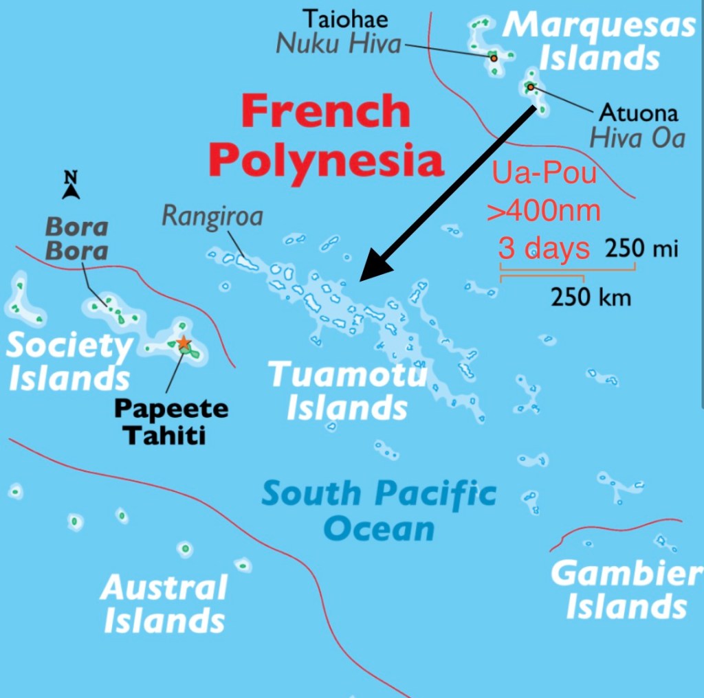

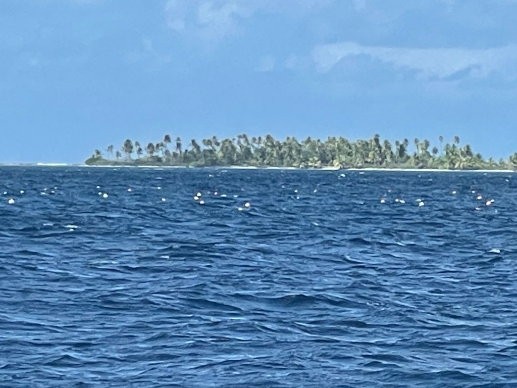
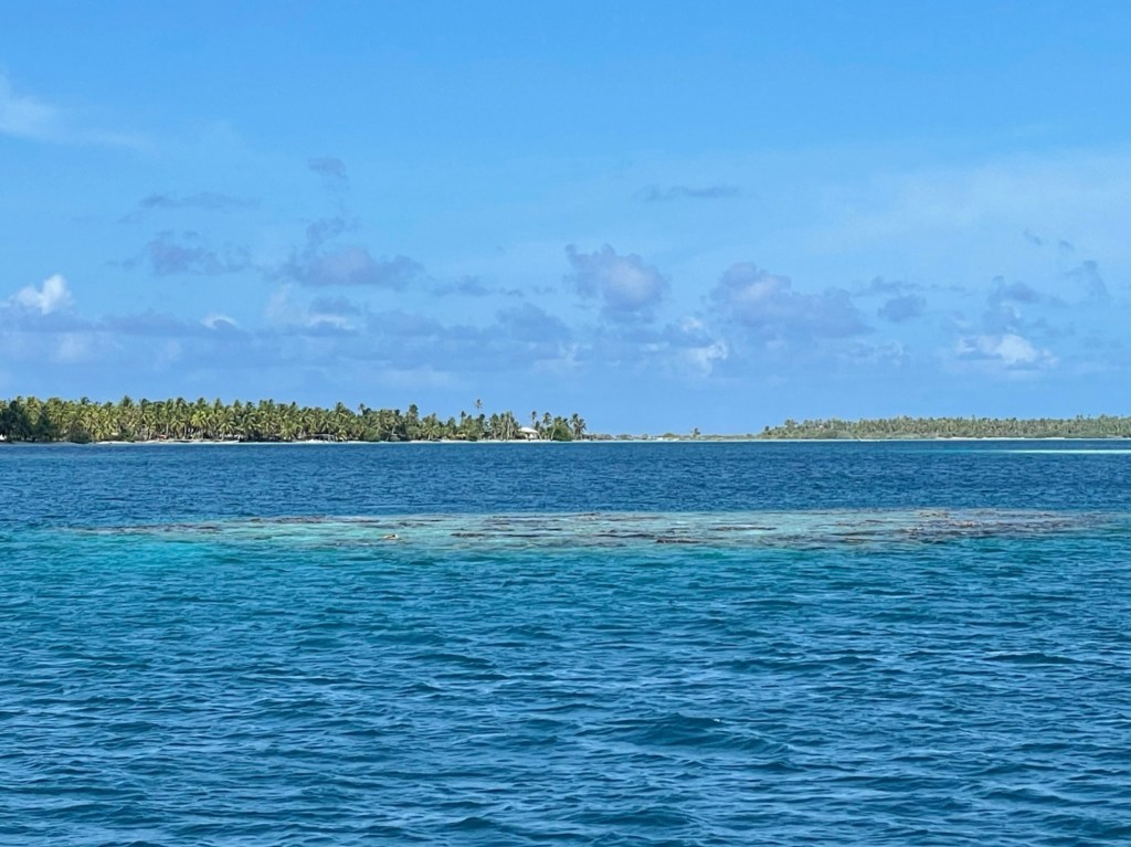
The Tuamotu Islands or Tuamotu Archipelago is the largest chain of atolls in the world. It is composed entirely of low-lying coral atolls and small islands, named motus. Only a few of the atolls have unbroken circular reefs; most are broken into numerous islets with passages into their interior lagoons. Before GPS navigation, these poorly marked coral reefs claimed the hulls of many ships and the lives of many sailors. In local language Tuamotu means “the dangerous islands.”
The economy is mostly based on copra production, fishing, and black pearl farming.
Water supply is limited to rainfall, so there are not many fruit trees or gardens due to the high salinity of the soil. Therefore, fruits and vegetables are scarce and most are brought in by the supply ships. The local stores sell canned and dry goods, some frozen foods, and very limited supplies of fresh fruits and vegetables, similar to the problem of “food deserts” in the US. Needless to say, people have diets very high in processed foods, and obesity is a rampant.
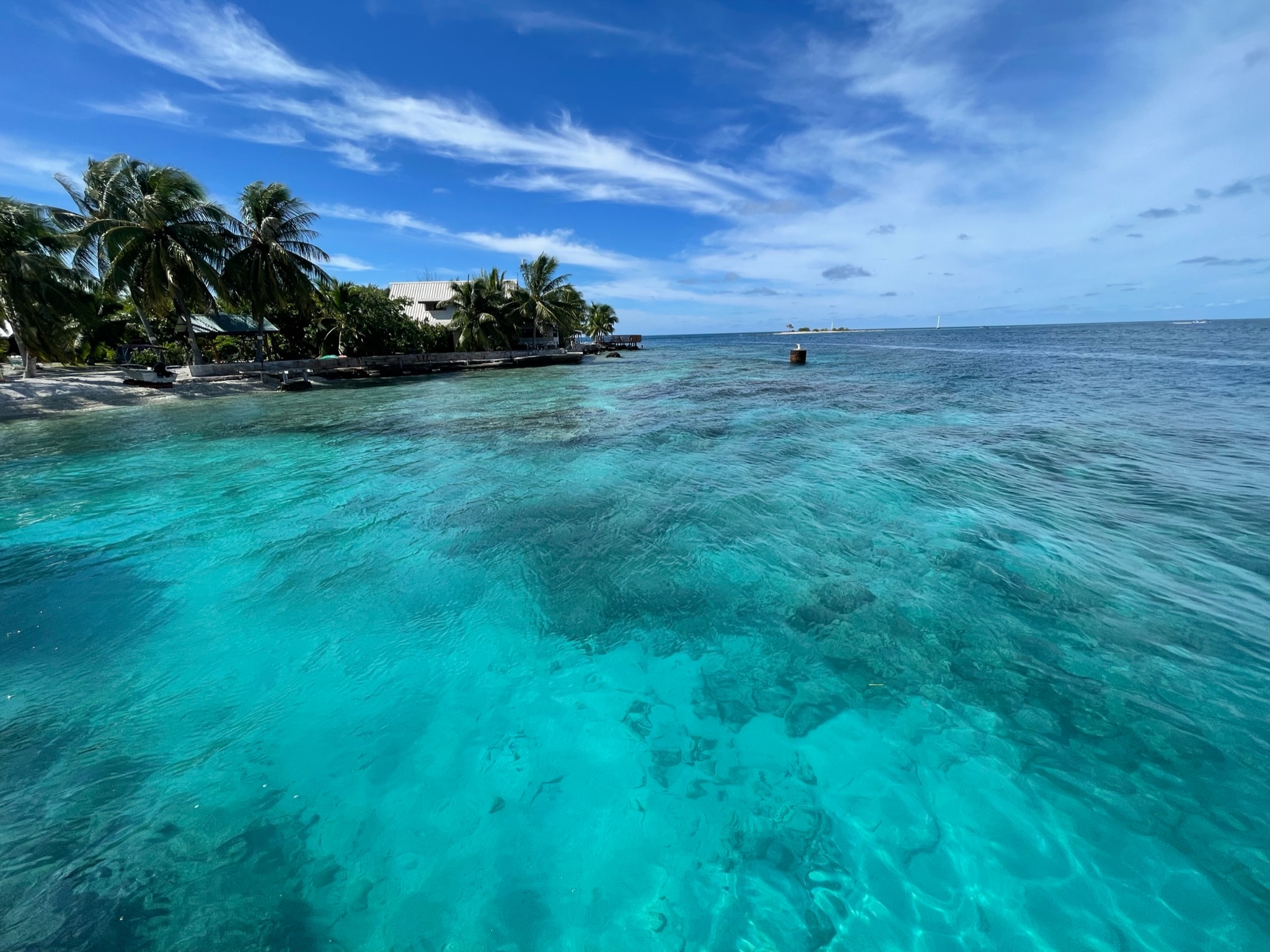
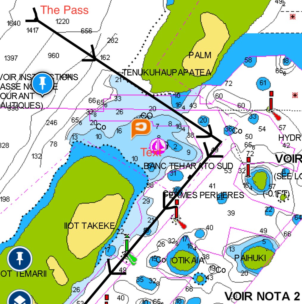
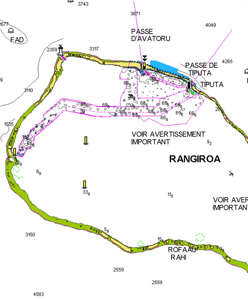
The passes, or entrances, are openings in the coral reefs. It is important to enter at slack tide through the reefs, carefully watching the shallow areas. Timing the entrance in reference to the tide tables is essential. There are computer programs such as “Open CPN” that project the actual boat position by GPS to satellite pictures which are very useful for reef entrance and identifying the shallow areas and the coral heads in the lagoon, nicknamed “bommies” or “boomies.”
RAROIA
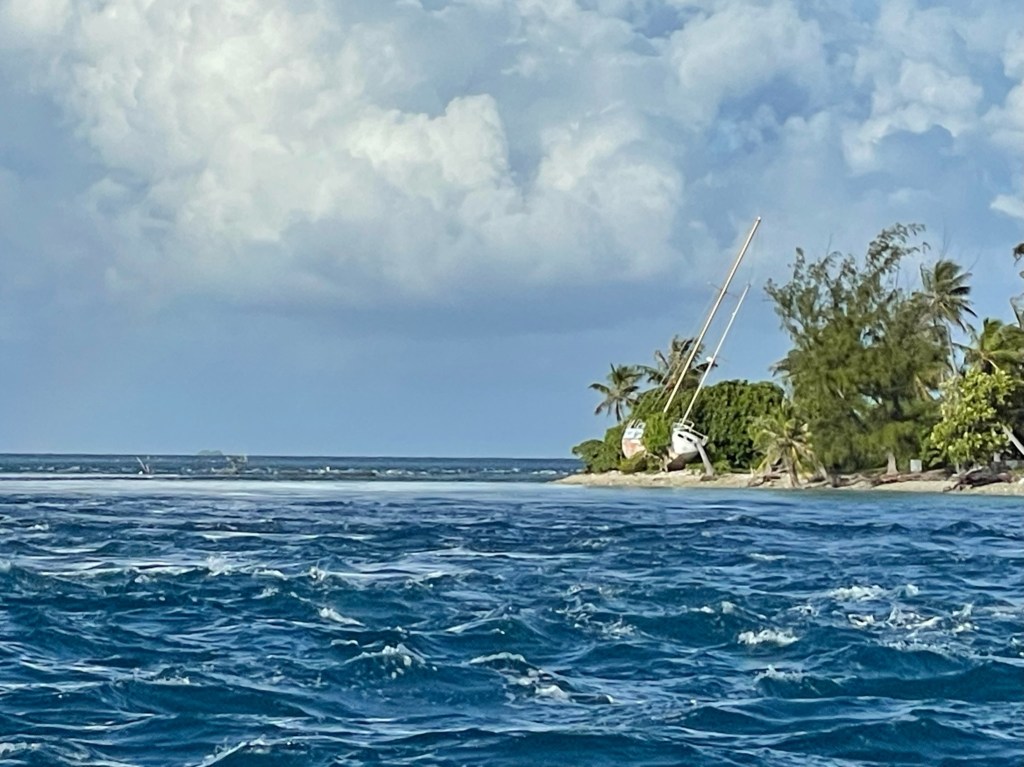
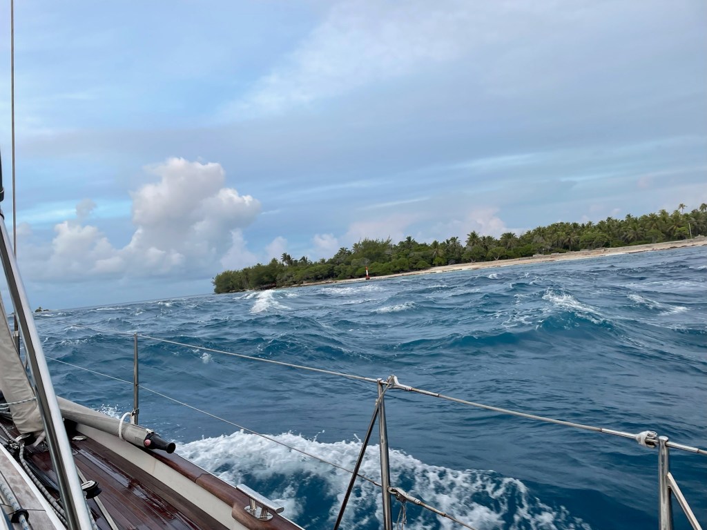
Our passage to the Tuamotu Islands was over 400 nautical miles, taking 3 days from Ua Pou in the Marquesas. We arrived at dawn and waited outside the pass for another hour for slack tide. When we entered, we stayed to the east side of the channel. There was still current against us so it was not completely slack tide as calculated by the tables, but we were able to maneuver the boat by increasing the engine RPMs and our ground speed. It was our first pass in the Tuamotus!

Raroia was also where the Norwegian Thor Heyerdahl arrived in 1947 sailing from South America on his raft Kon-Tiki.

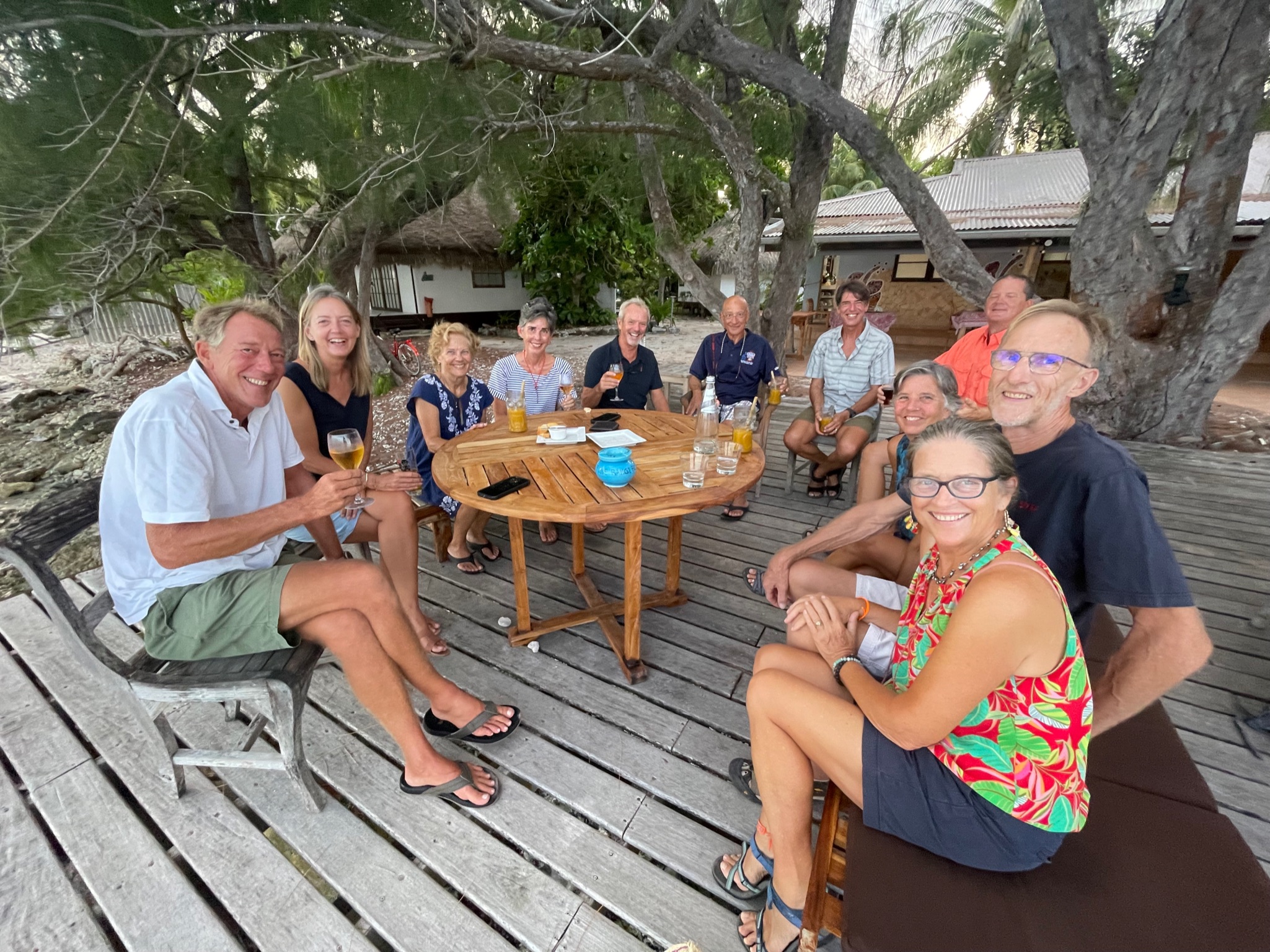
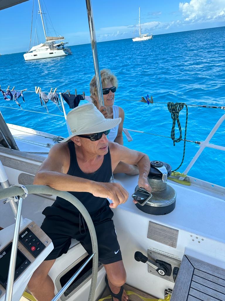
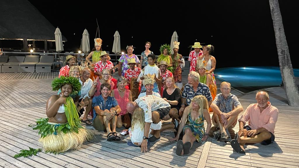
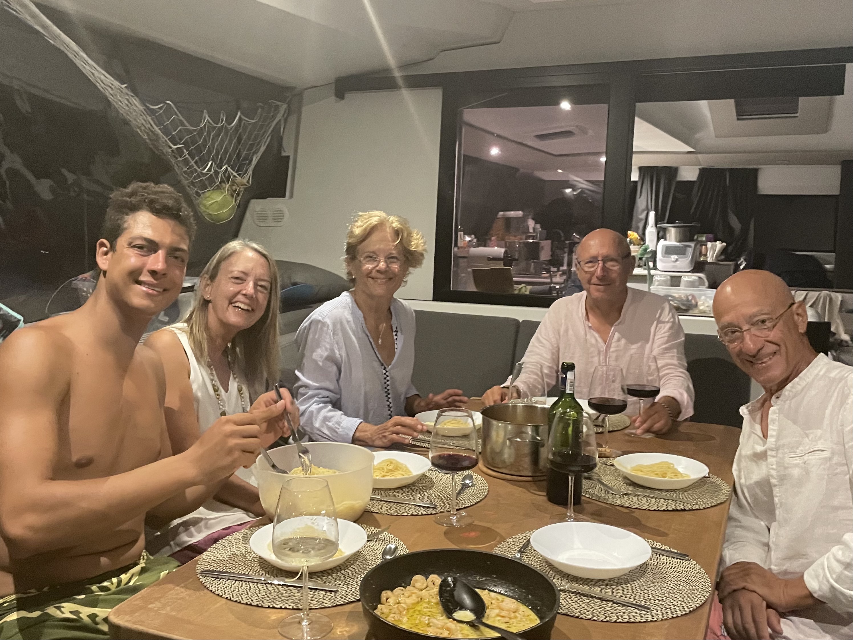
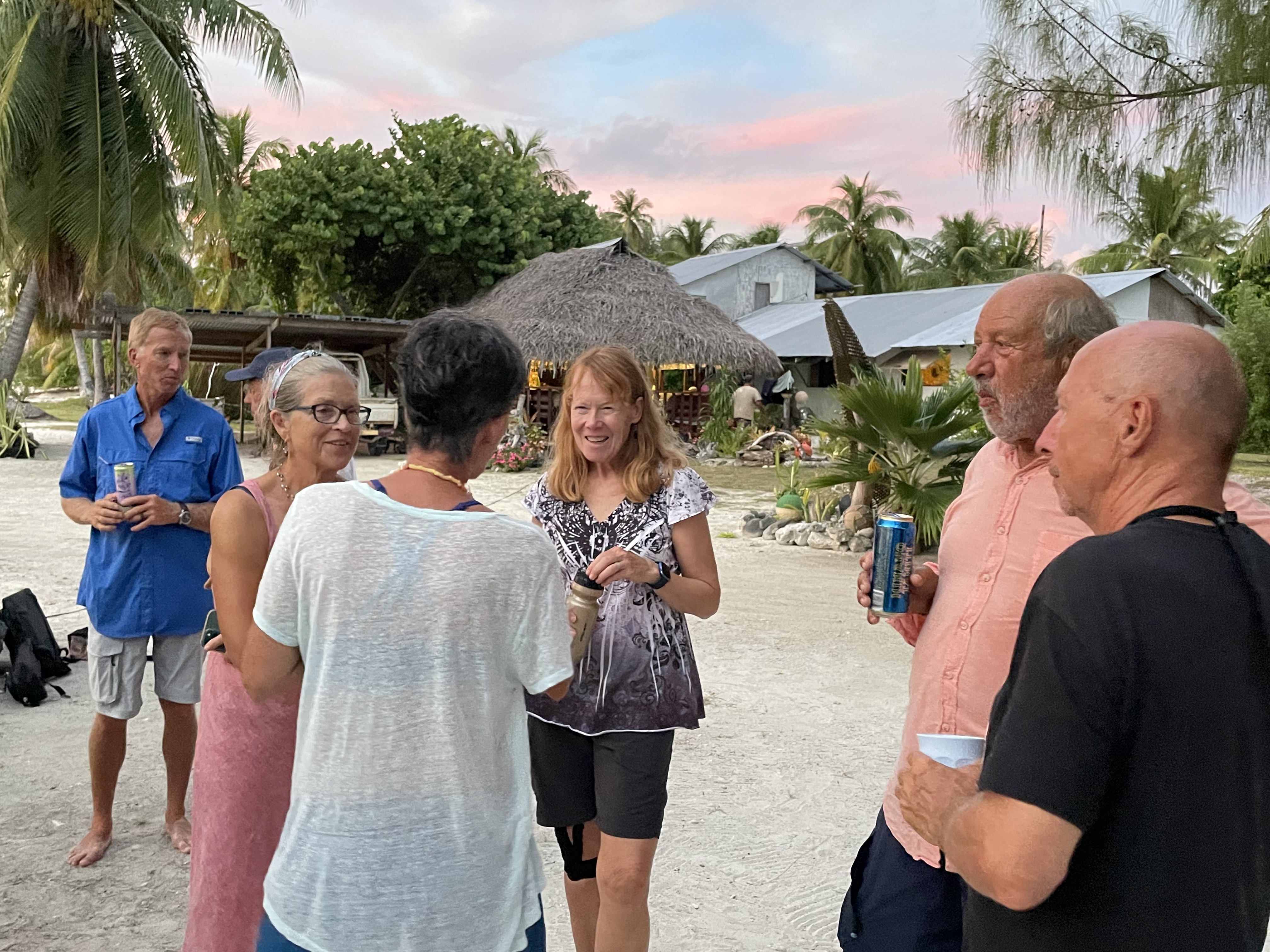
Hanging out with World ARC friends on the catamaran CEPA.

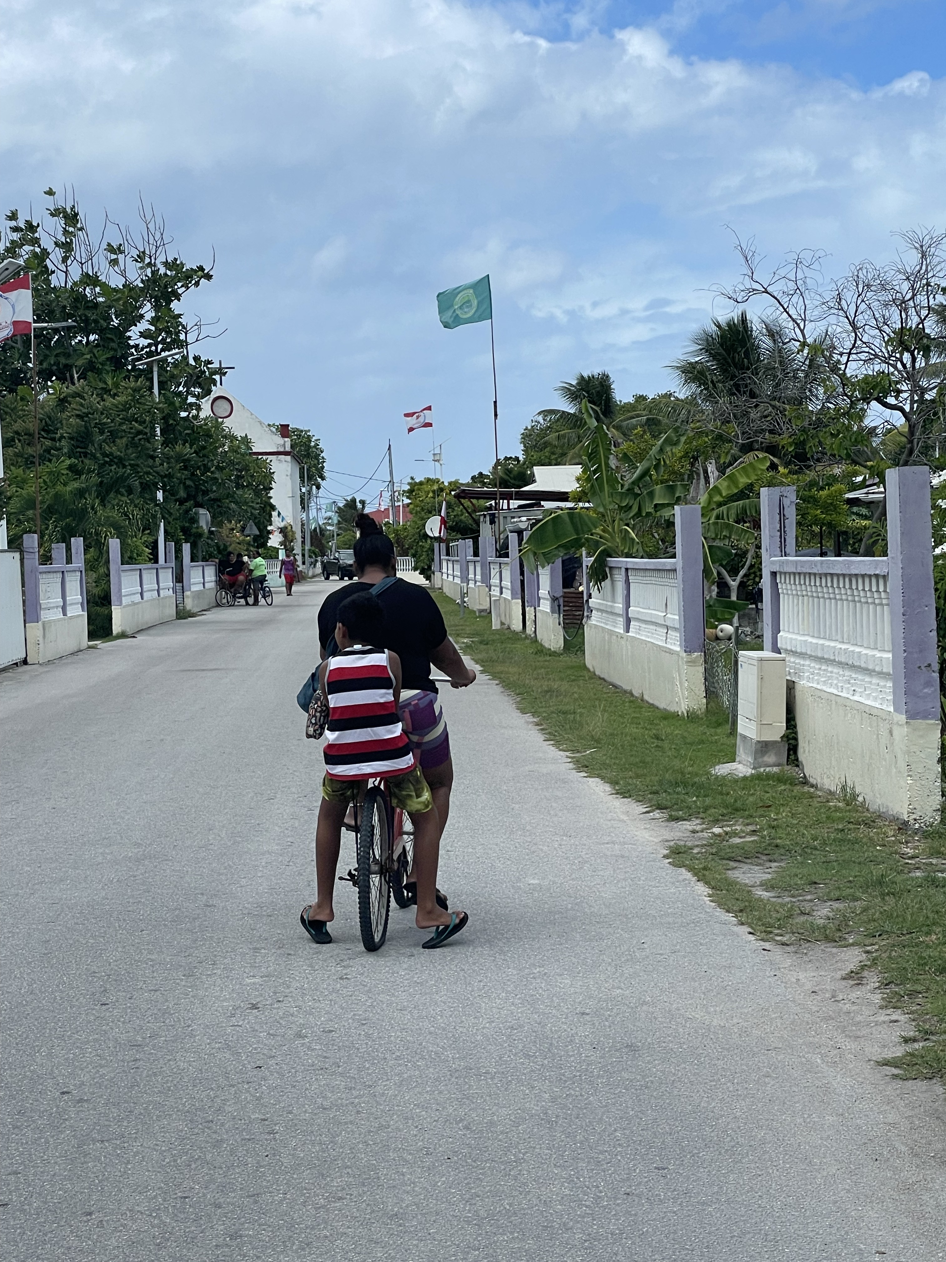
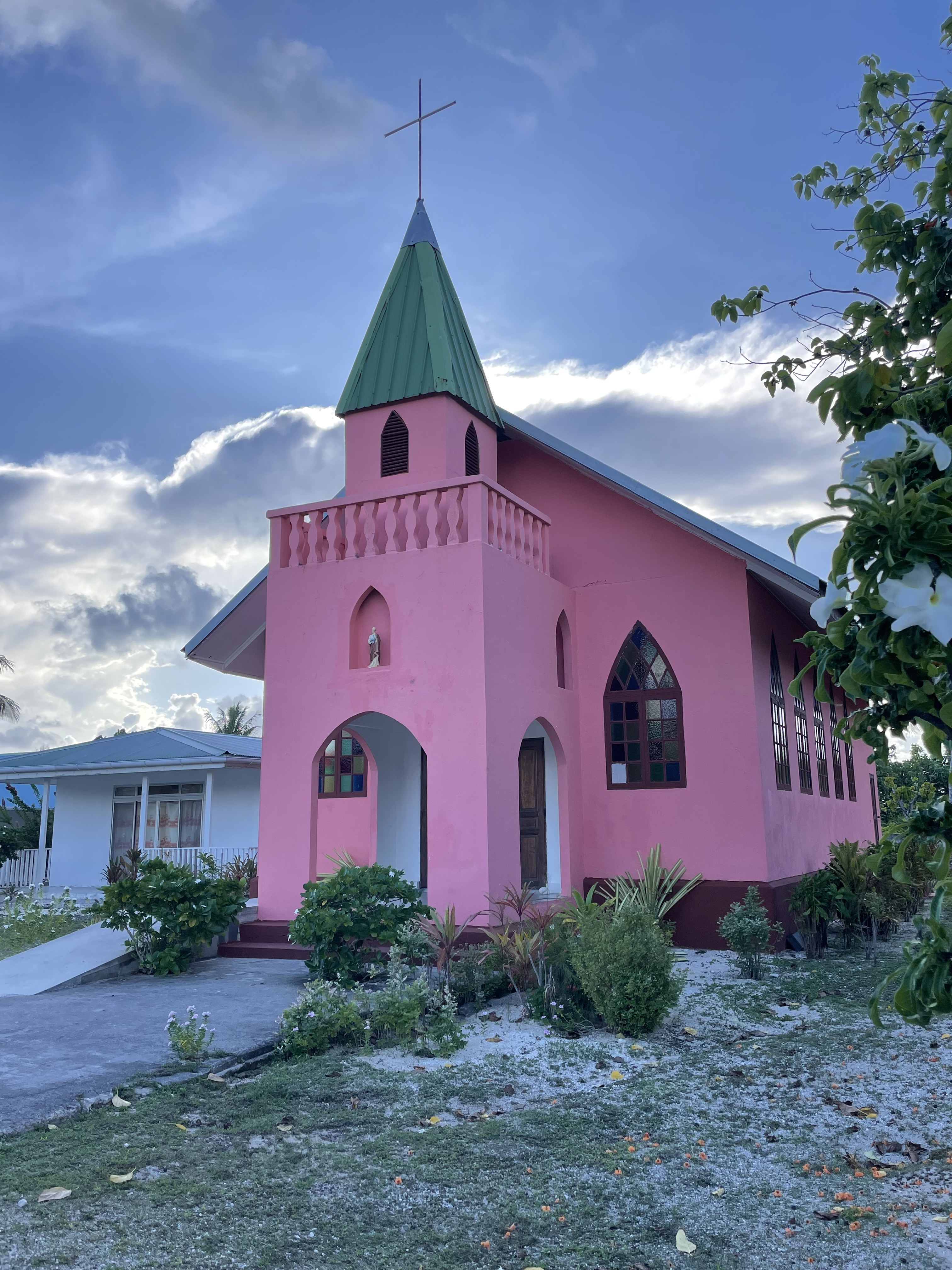
MAKEMO

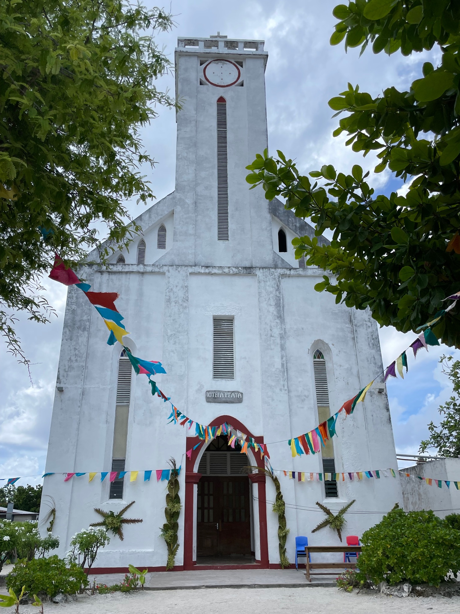
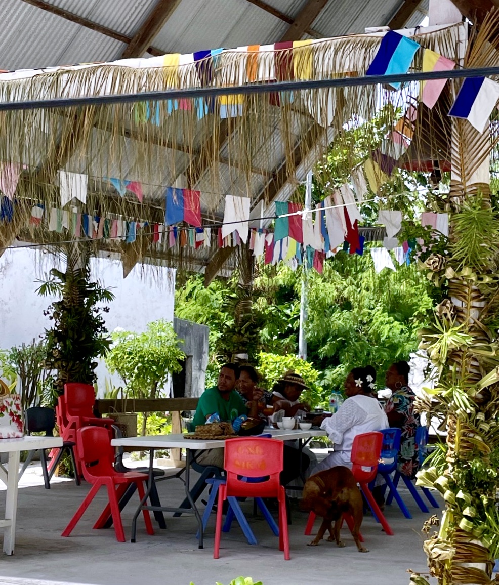
Sunday celebrations at the local church.
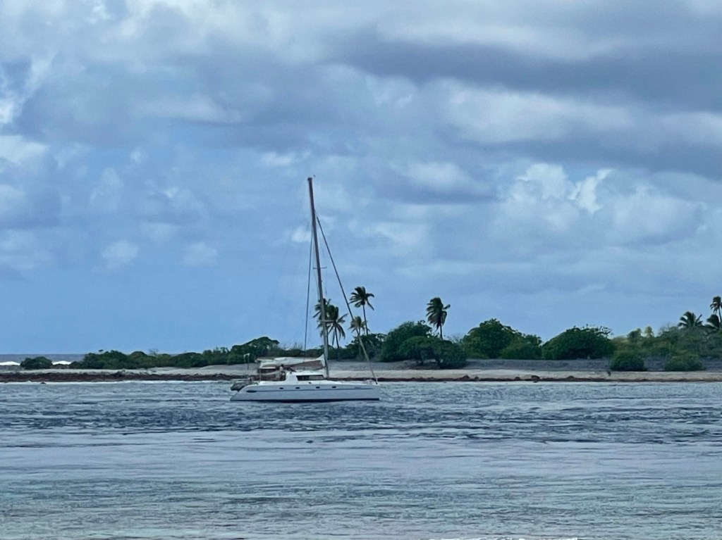
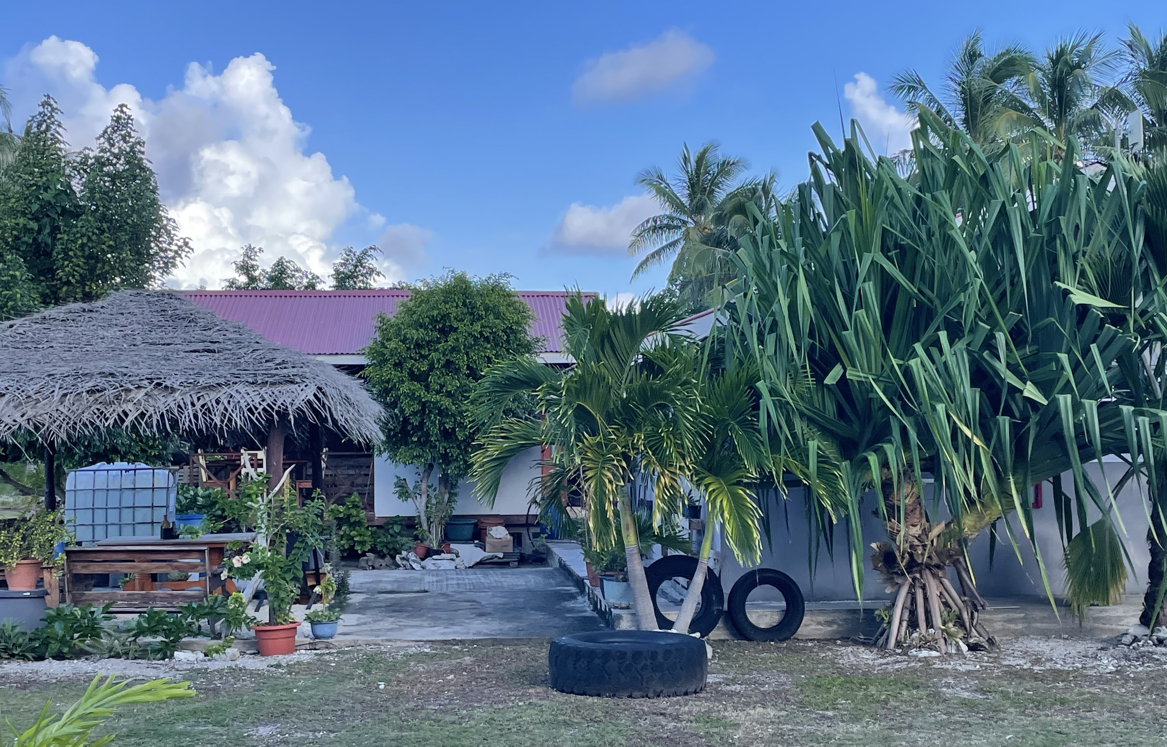
KAUEHI
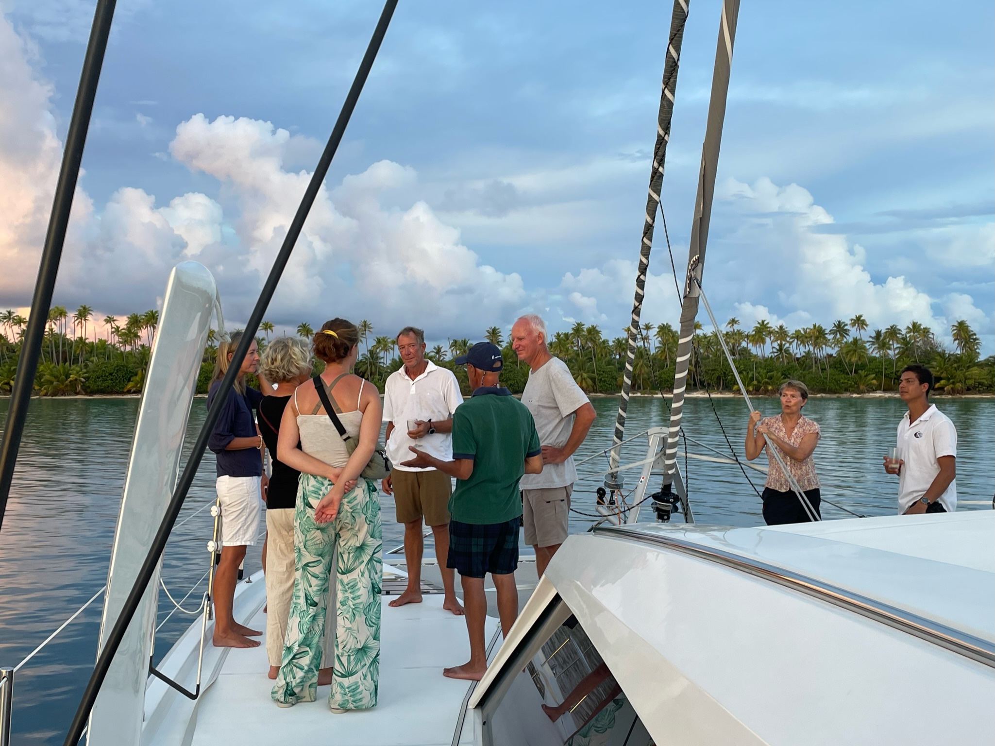
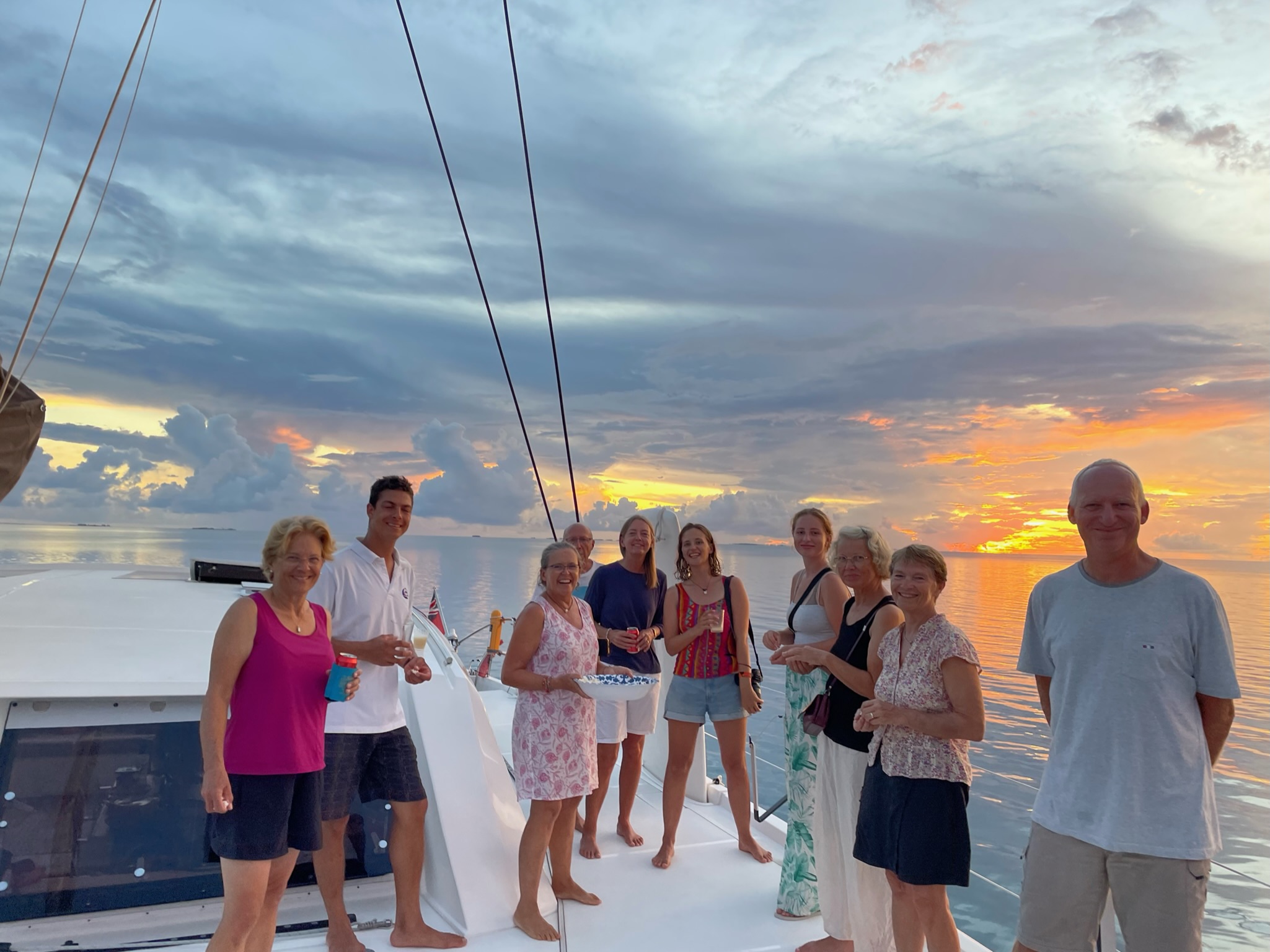
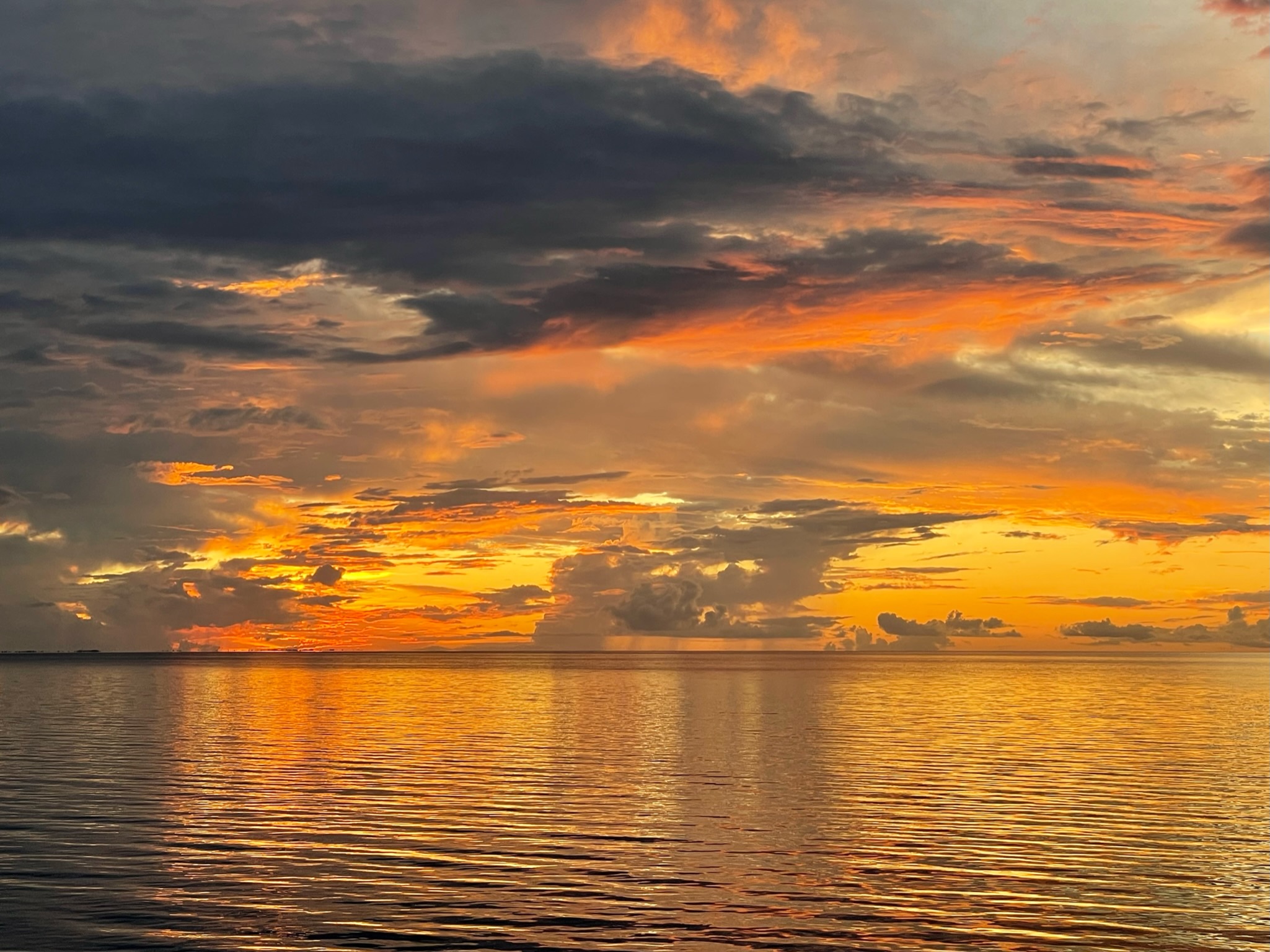
Enjoying dinner and a stunning sunset with World ARC friends on the catamaran Pole Pole.

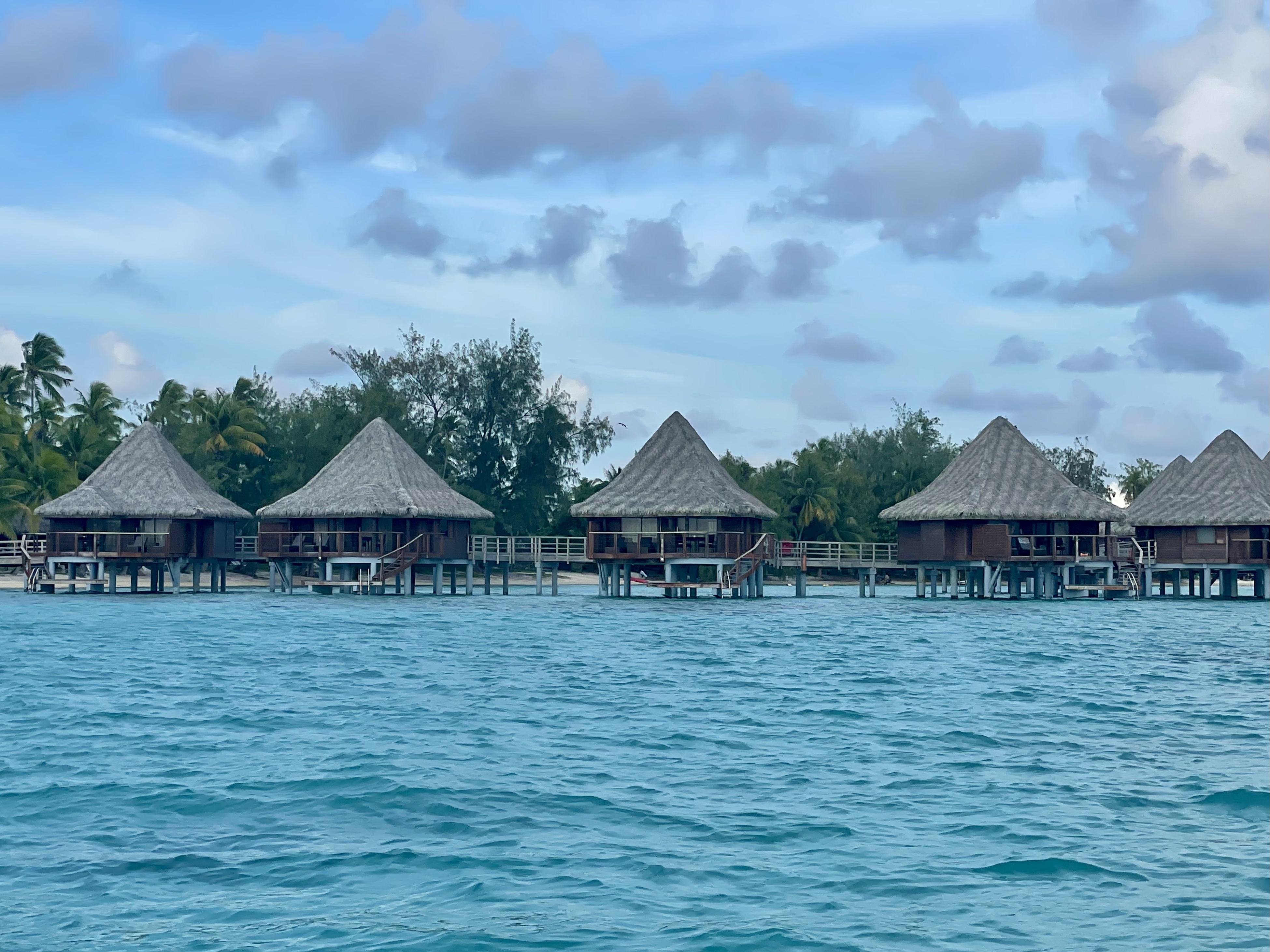
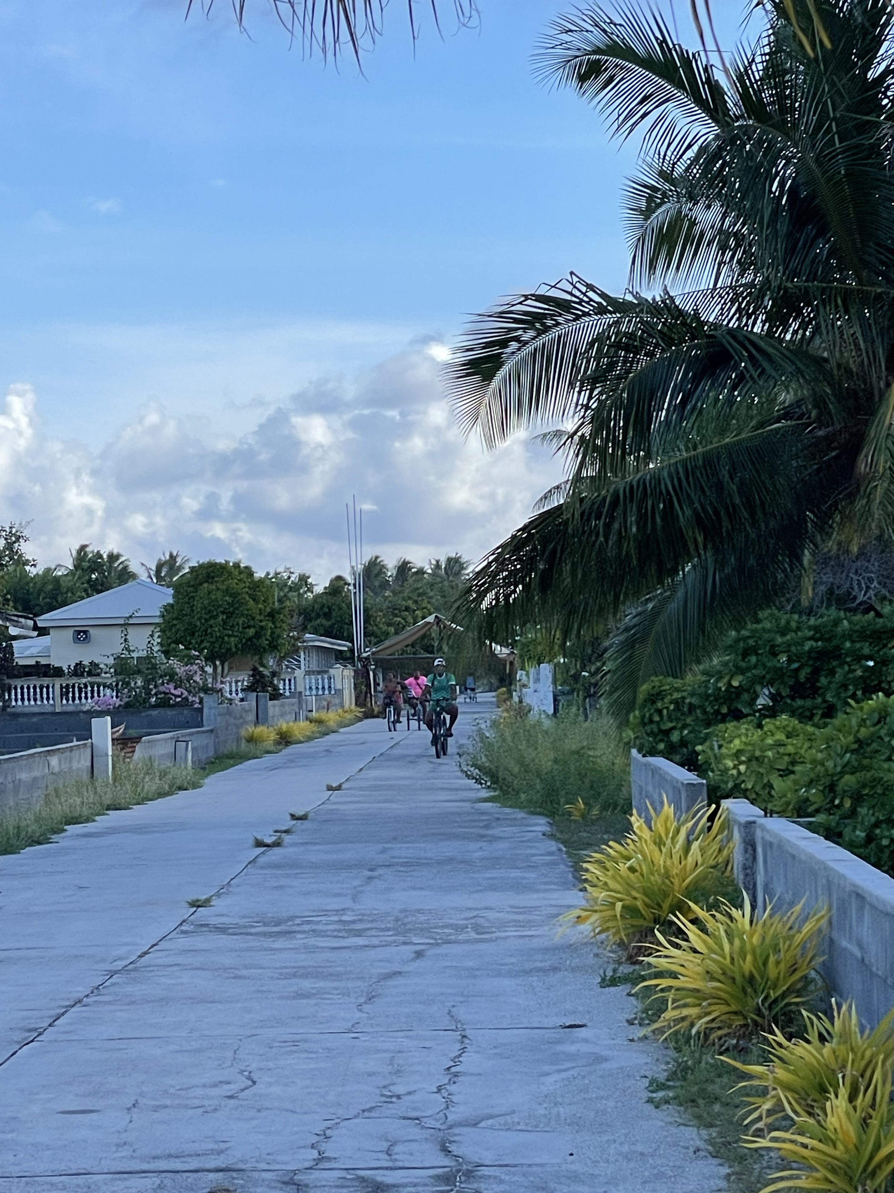
FAKARAVA
Another World ARC party on the beach with local music.


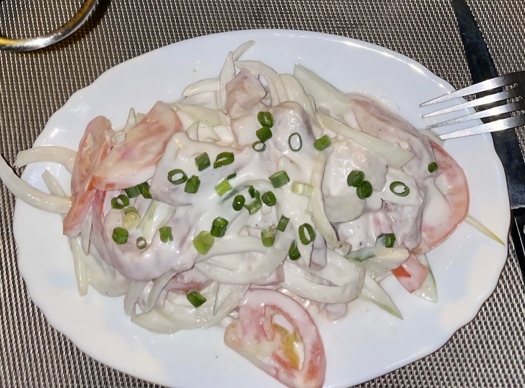
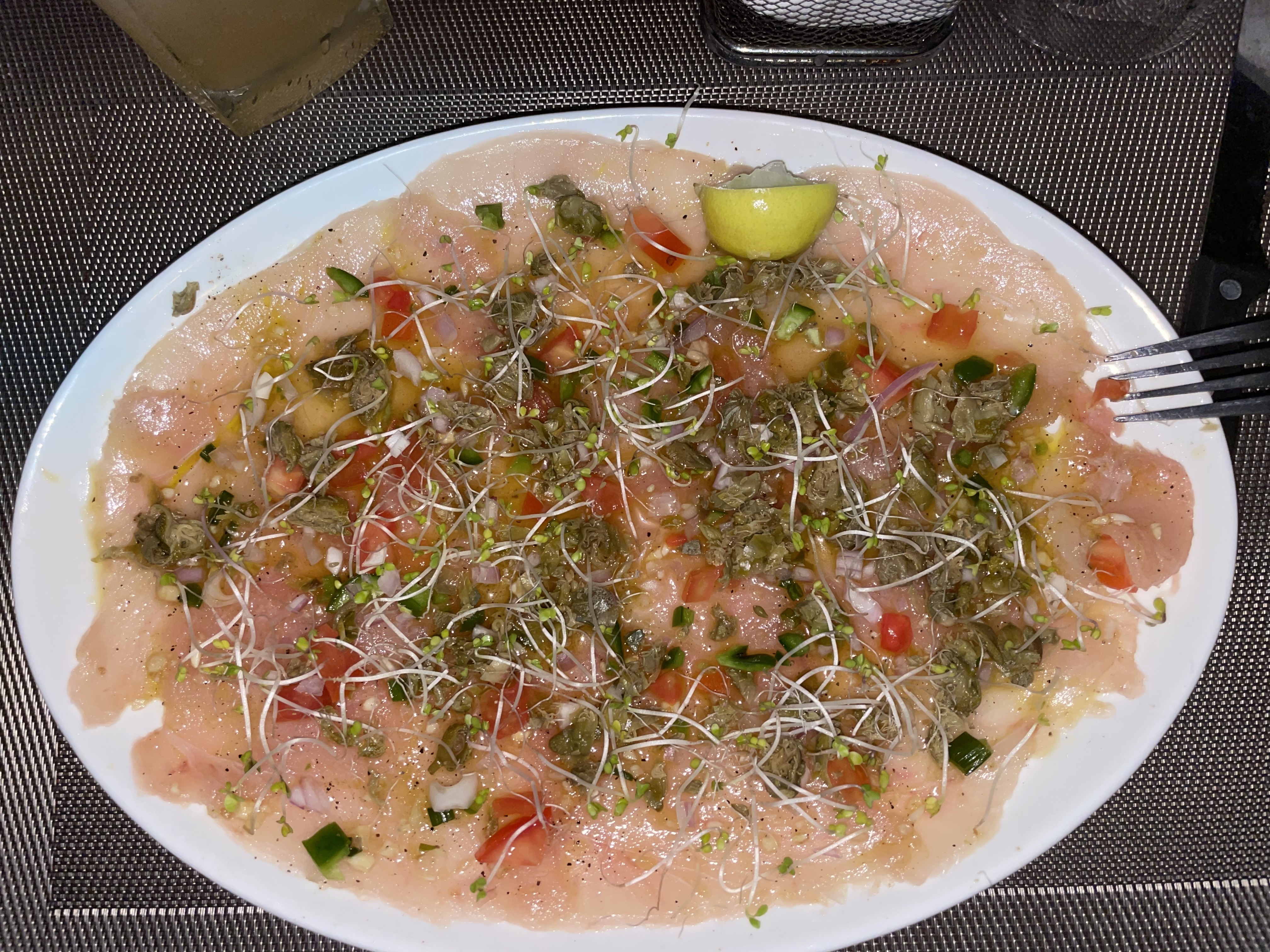
Amazing local dishes: Poisson Cru (coconut milk, lime, onions, tomatoes, and raw fish) and Tuna Carpaccio (finely sliced tuna with capers, lime, tomatoes and olive oil).
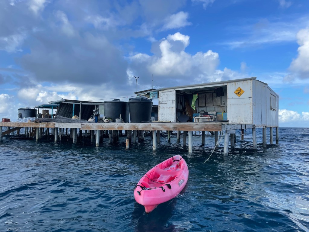
AHE
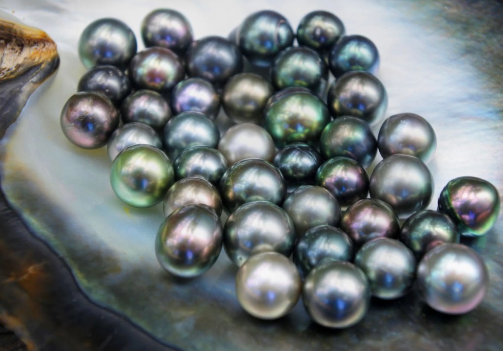
Kamoka Pearl Farm
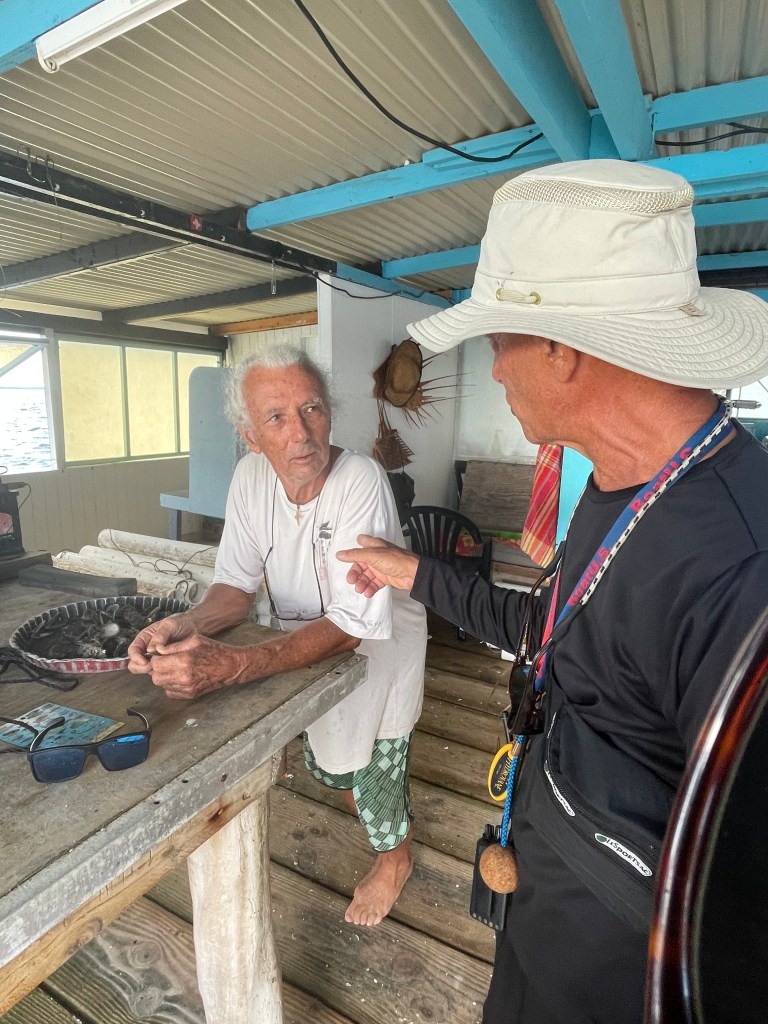


In the past, free divers used to dive over 100 feet to take the wild oysters. Today, pearl farming has become popular in the South Pacific, the oysters are nurtured and cultivated by adding a special bead to a black lipped oyster. Over time, the oyster forms layers around this bead, creating the pearl. For me the beauty of these black pearls is the vast difference in colors, the gold, called “champagne” being the most valuable!
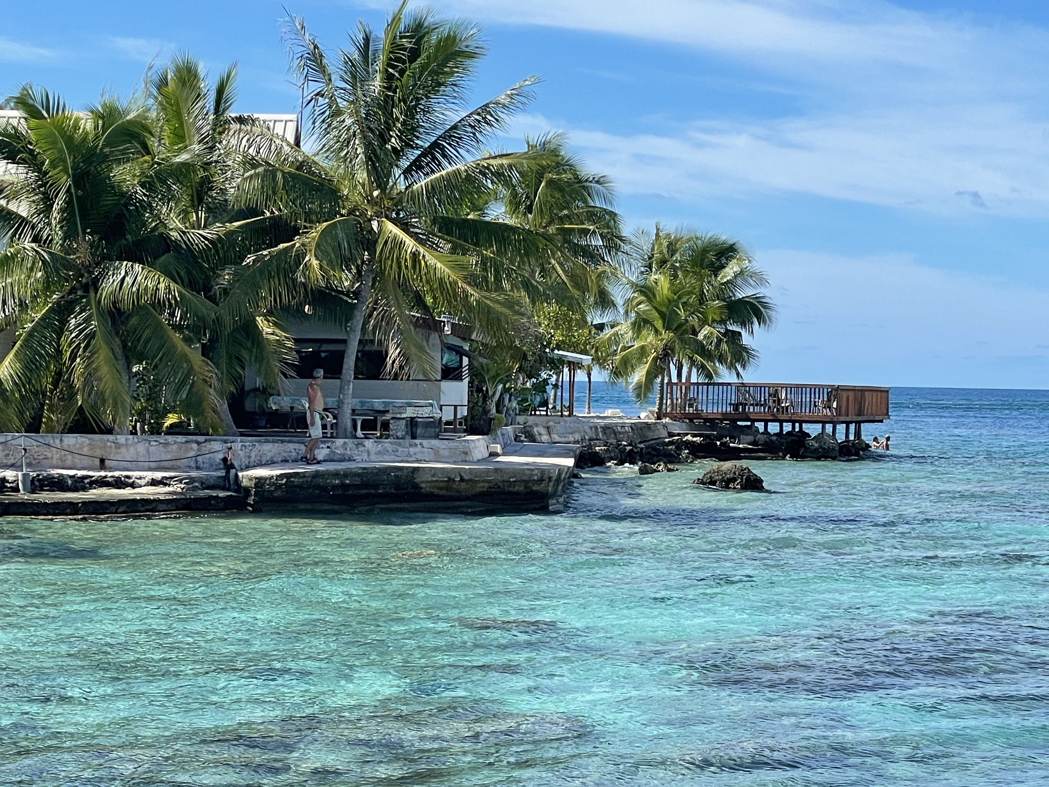
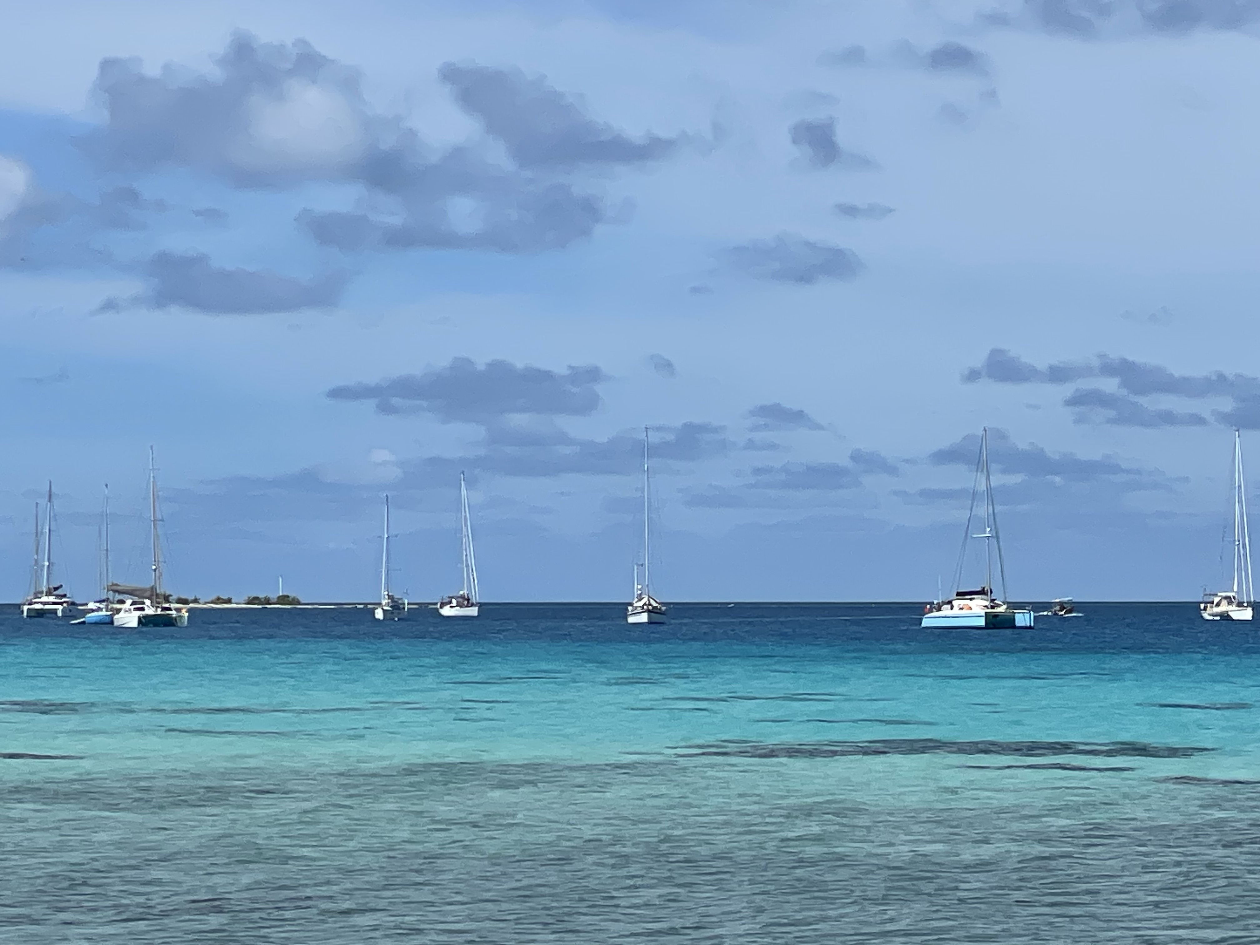
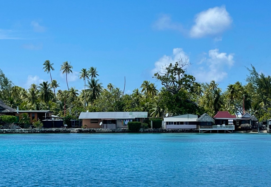
RANGIROA


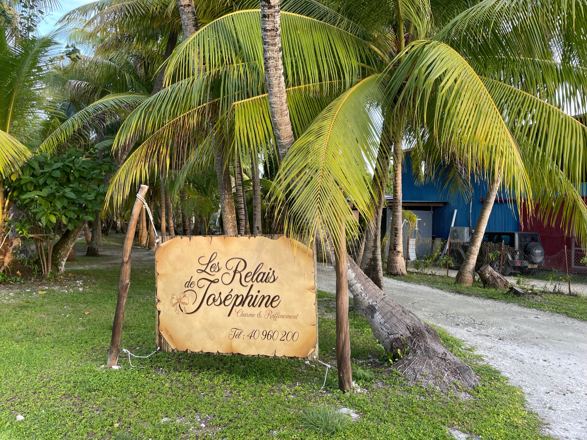
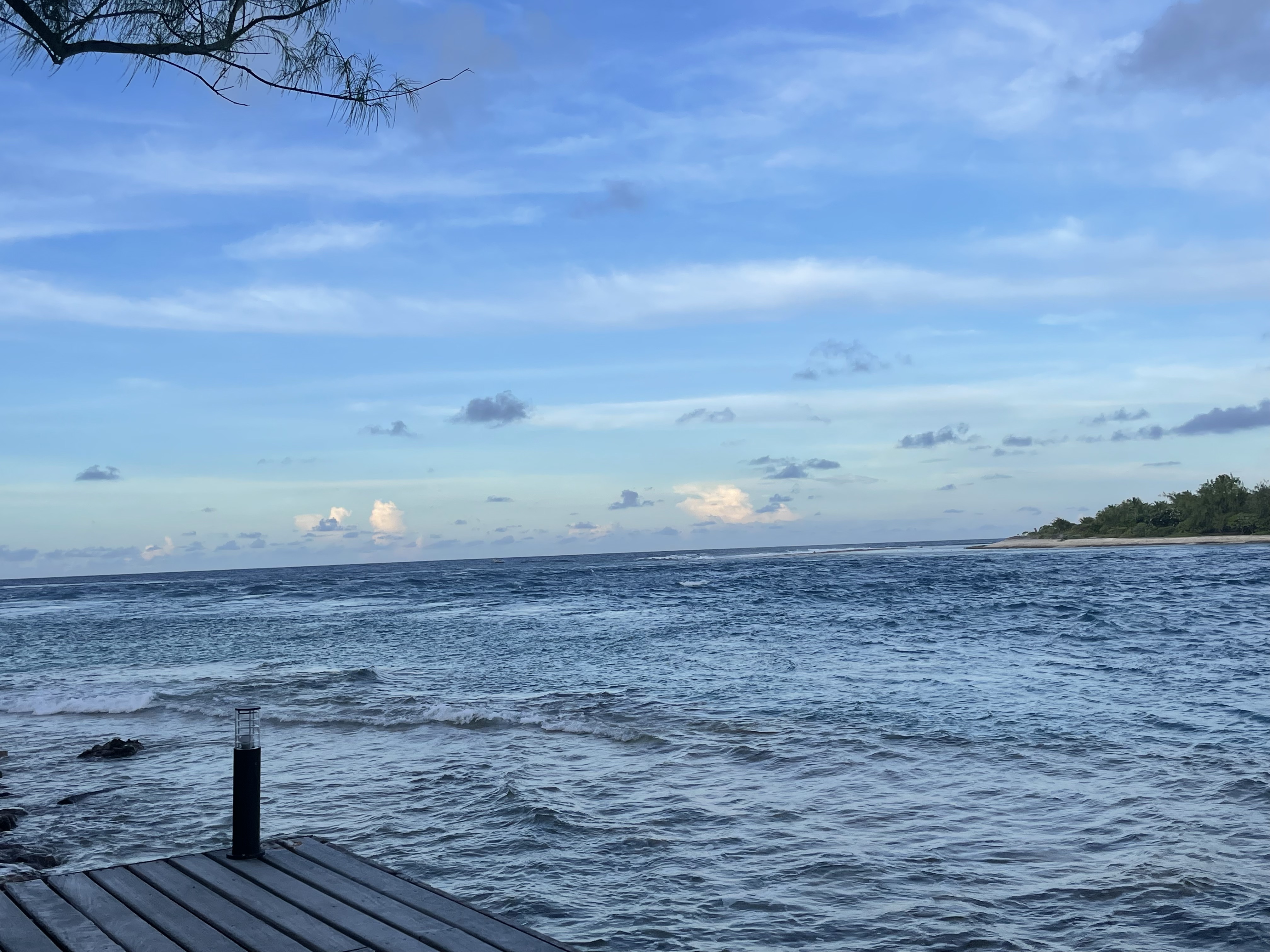
Tiputa Pass Restaurant
Sitting on the porch at the restaurant “Le Relais de Josephine” watching a tall ship leave through Tiputa pass. We spent many hours just watching boats and the currents.