
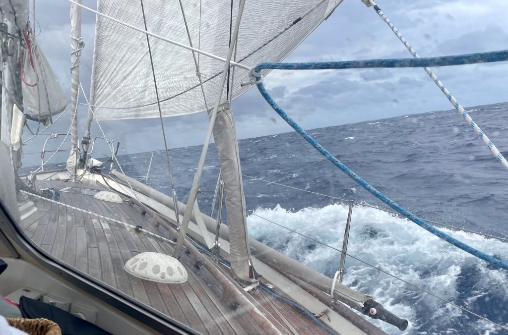
The Lau Group is the remote eastern group of 57 Fijian islands, 19 of which are inhabited. They are known for their unspoiled beaches, crystal clear turquoise waters, and rich underwater life. There is absolutely no tourism, and it is very much open ocean sailing between the islands. Distances between islands are usually under 60 nautical miles and can be sailed overnight or during the daylight. Our preference is always to sail during the day and anchor before sunset.
Navigating the reefs!
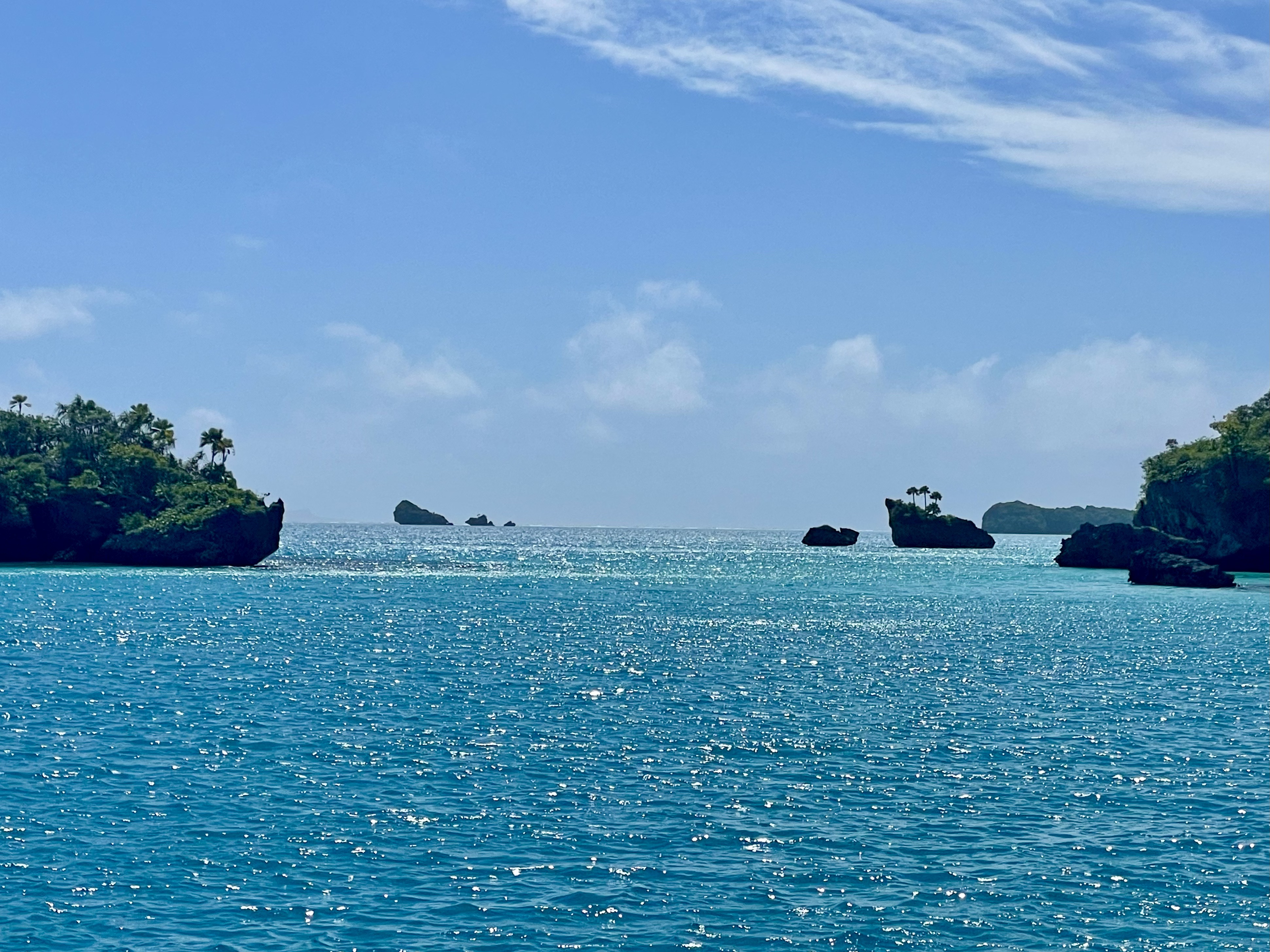
Navigating the passes in and out of each island reef is often a challenge because of the constant risk of hitting the reef in a remote place where nobody is around to rescue you.
Before our Starlink was installed, we relied on Navionics charts, and Open CPN (with downloaded satellite maps) on a Windows computer with an external GPS receiver. In Fiji, Navionics charts, especially outside major ports and shipping channels, are considered unreliable because they are often based on outdated survey data; consequently, we always use a combination of the Navionics and satellite images. Using only Navionics charts in Fiji could put you on a reef!
Satellite Charts vs Navionics Charts
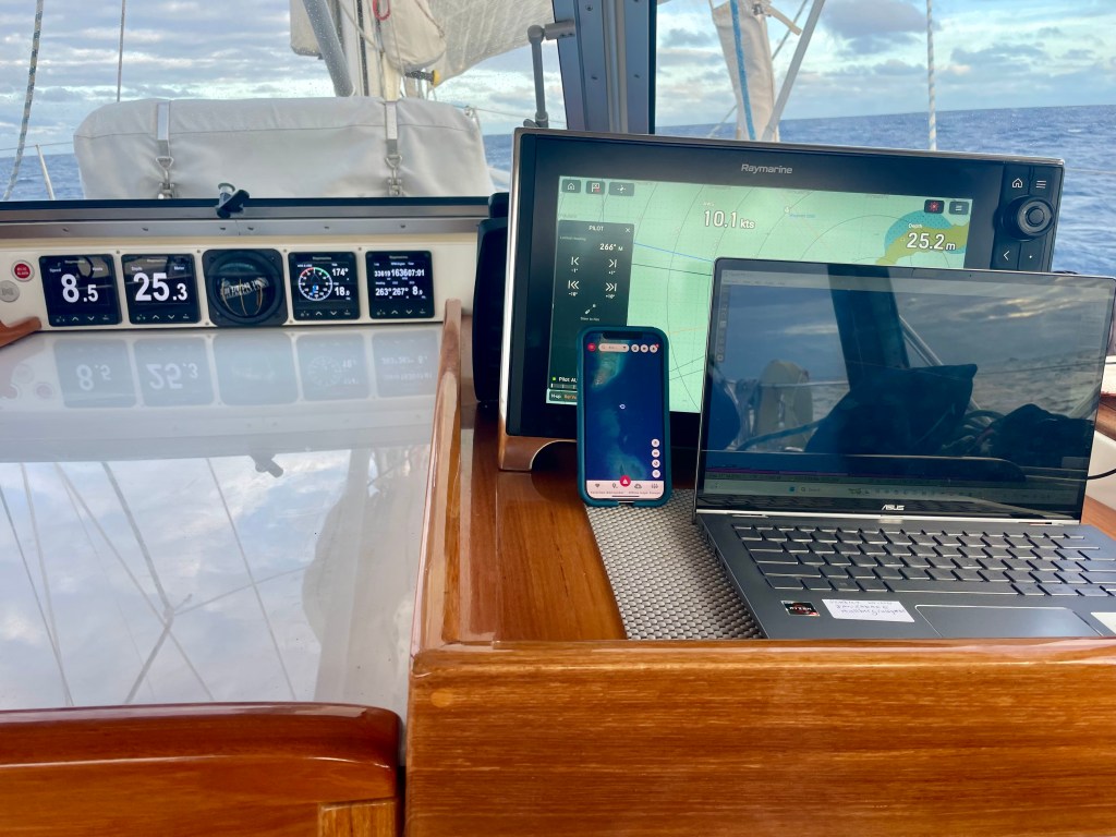
Today, satellite maps are a trustworthy reference for navigation by car, plane, or boat. Coordinates of a specific area are very precise. Using a GPS receiver, commonly present in our cell phones, we see our exact location down to the meter.
The updated satellite maps of Open CPN are essential when navigating the waters of Fiji. These maps must be downloaded to a Windows computer using the OpenCPN program. Other satellite maps are available on Google Maps, Apple Maps, and the NoForeignLand app. Often, the satellite images differ from one another due to clouds or sun exposure, and you need to choose the best one for that area and location. You get a very good feeling about the depth of the water.

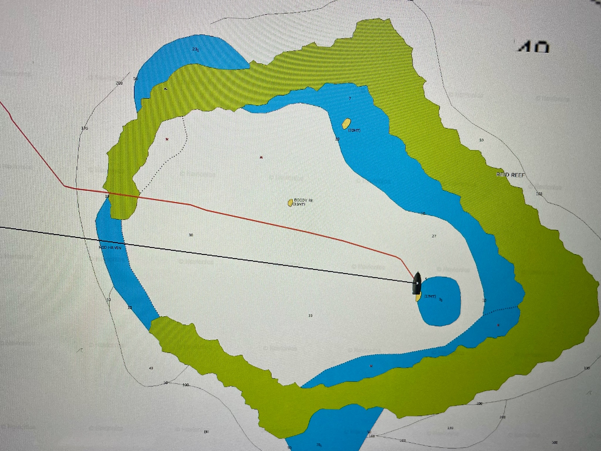
Above: the image on the left shows our path in deep water through the pass of Reid Reef as determined by one of several satellite maps and a GPS receiver. The image on the right, instead, shows our path on the incorrect Navionics chart— as if we had sailed over the coral reef!


Above: the image on the left shows the correct location of our boat anchored in sand southeast of the rock, as determined by the satellite map and a GPS receiver. The image on the right, instead, shows our incorrect location, northwest of the rock in deep water, according to the Navionics chart and GPS. The Navionics chart is clearly wrong.
With the addition of Starlink, we are now able to pull up additional satellite images on our iPhones using the previously mentioned Google Maps, Apple Maps, and NoForeignLand Apps, and see our exact location by GPS in relation to the openings in the reef and the coral heads. Invaluable new tools of reference!
Adjusting to Island Time
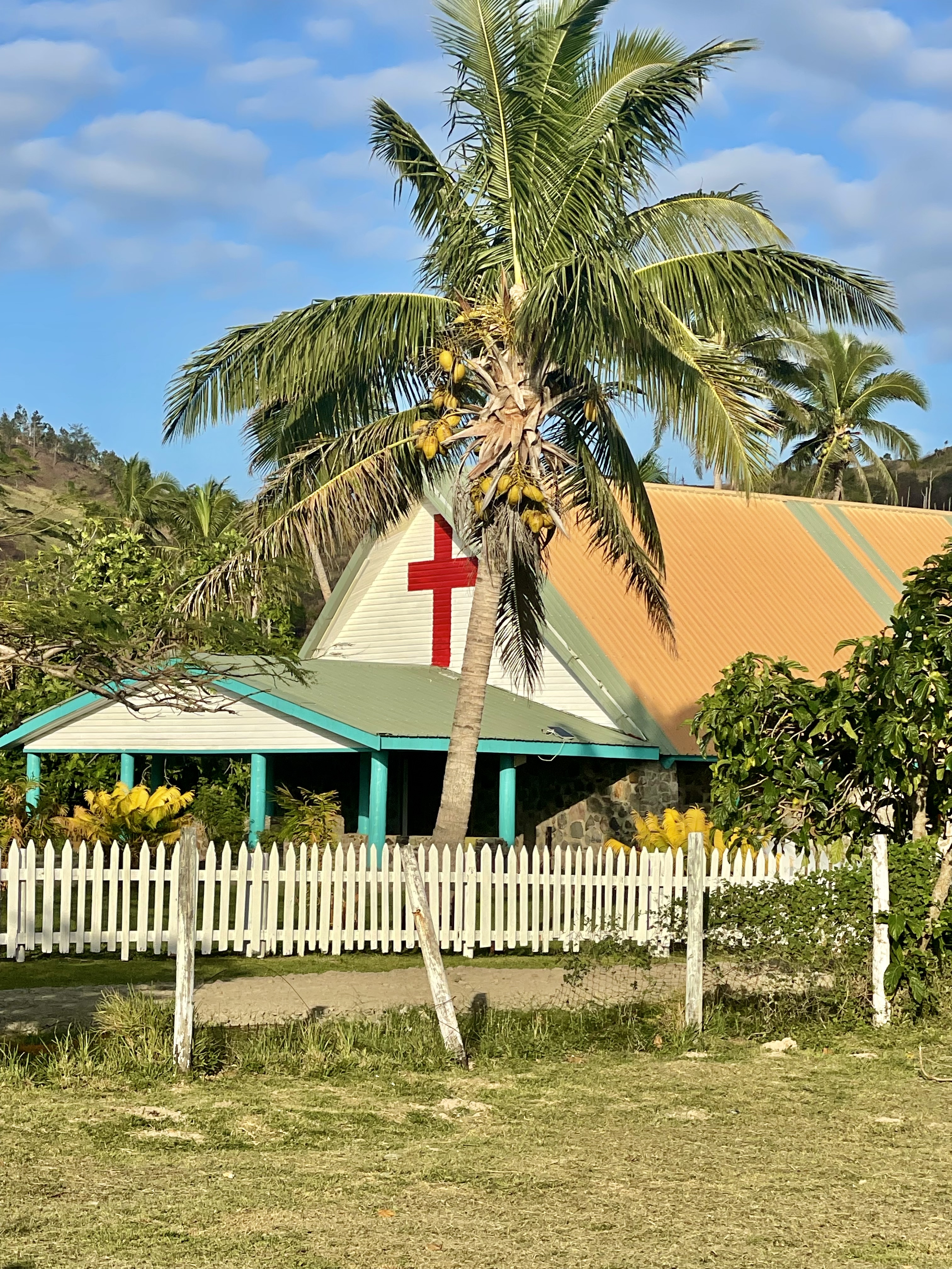
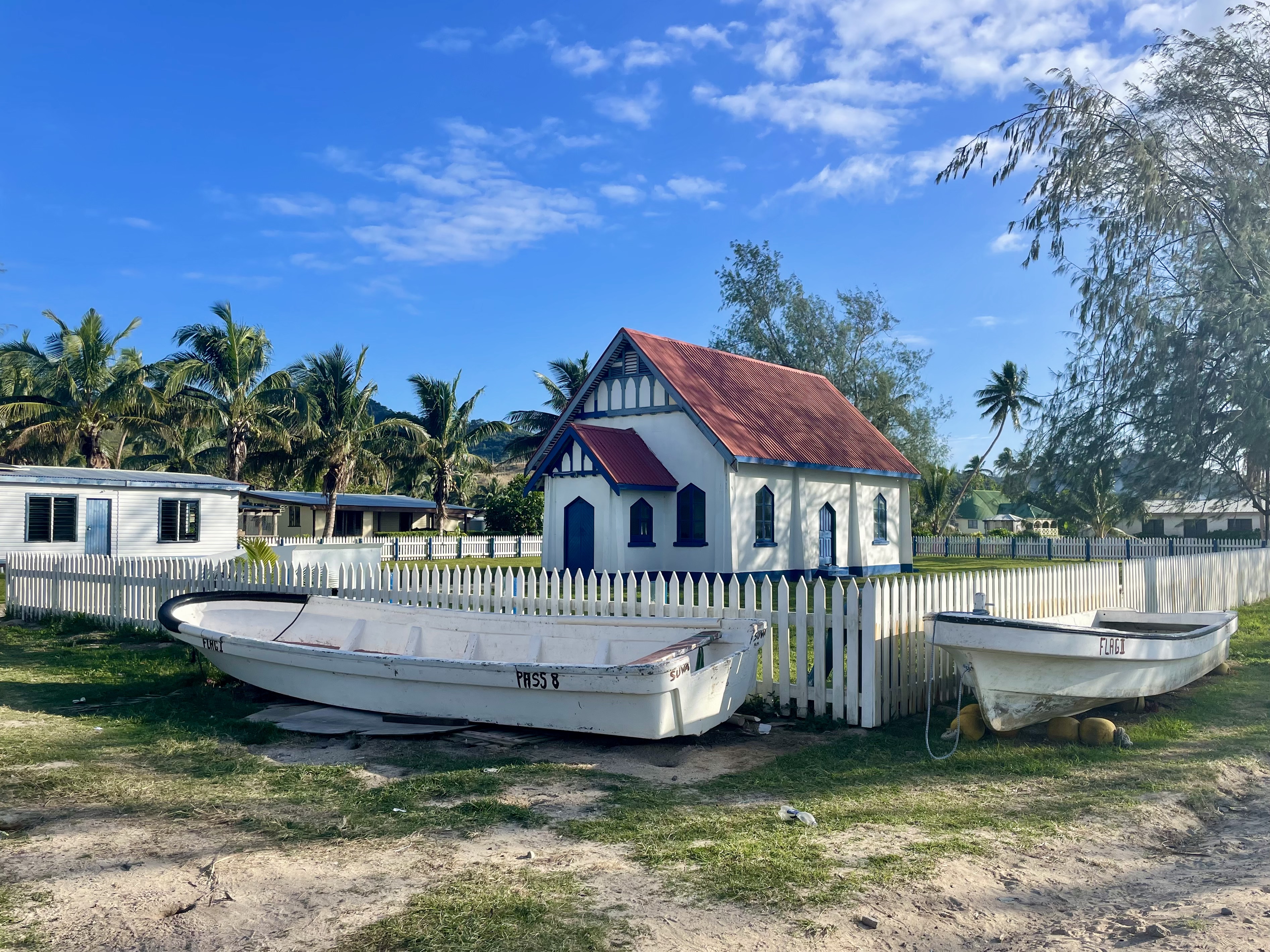
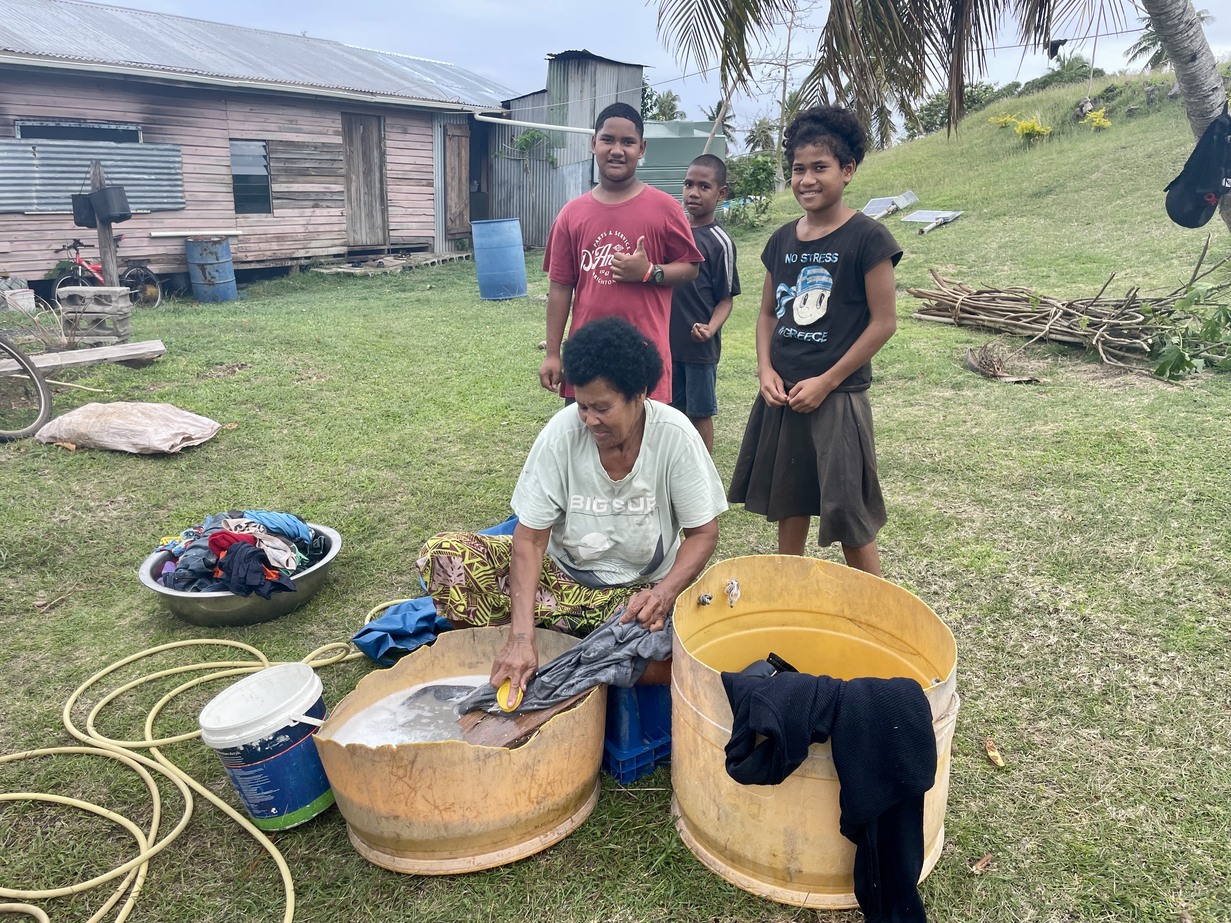
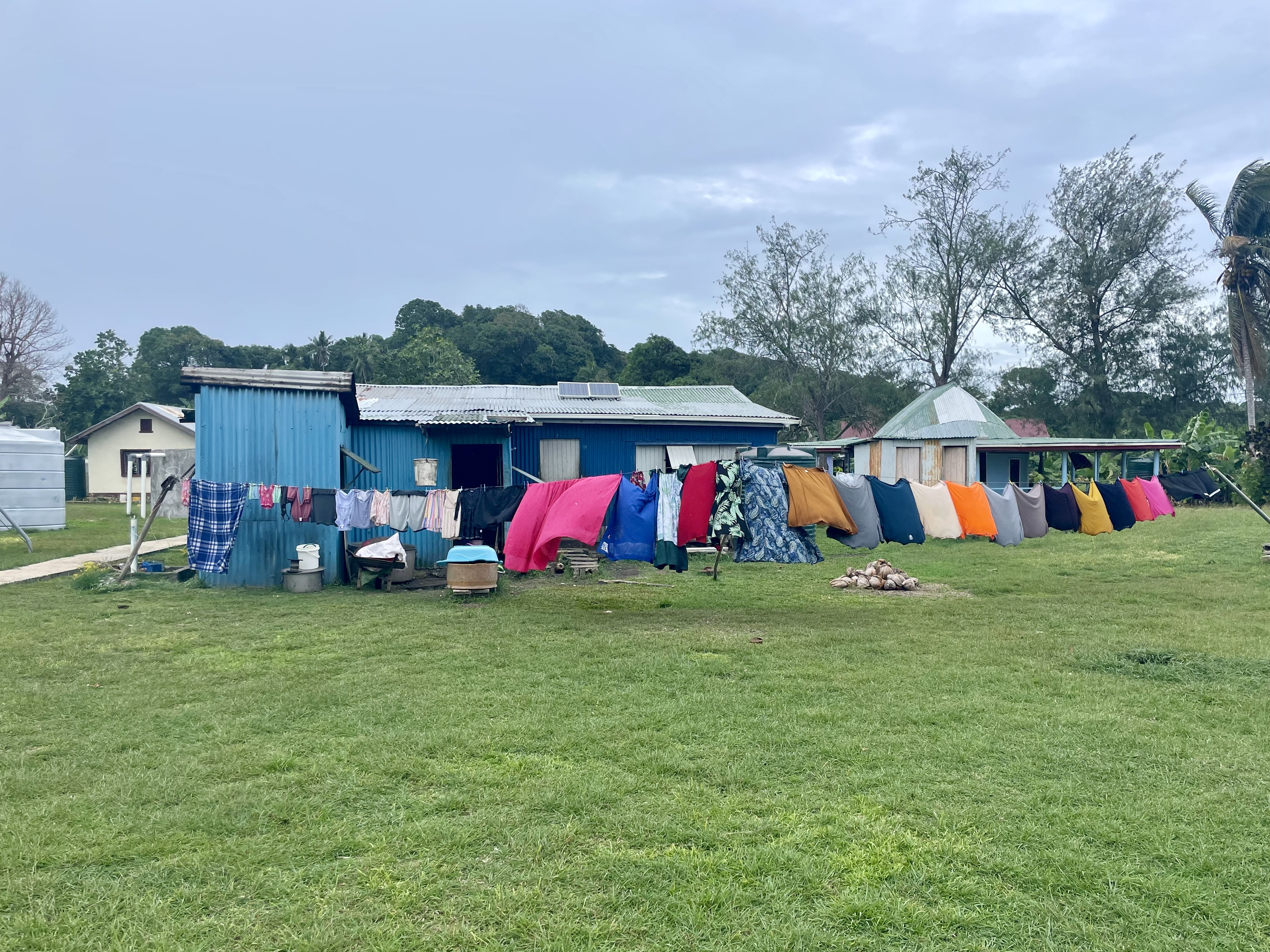
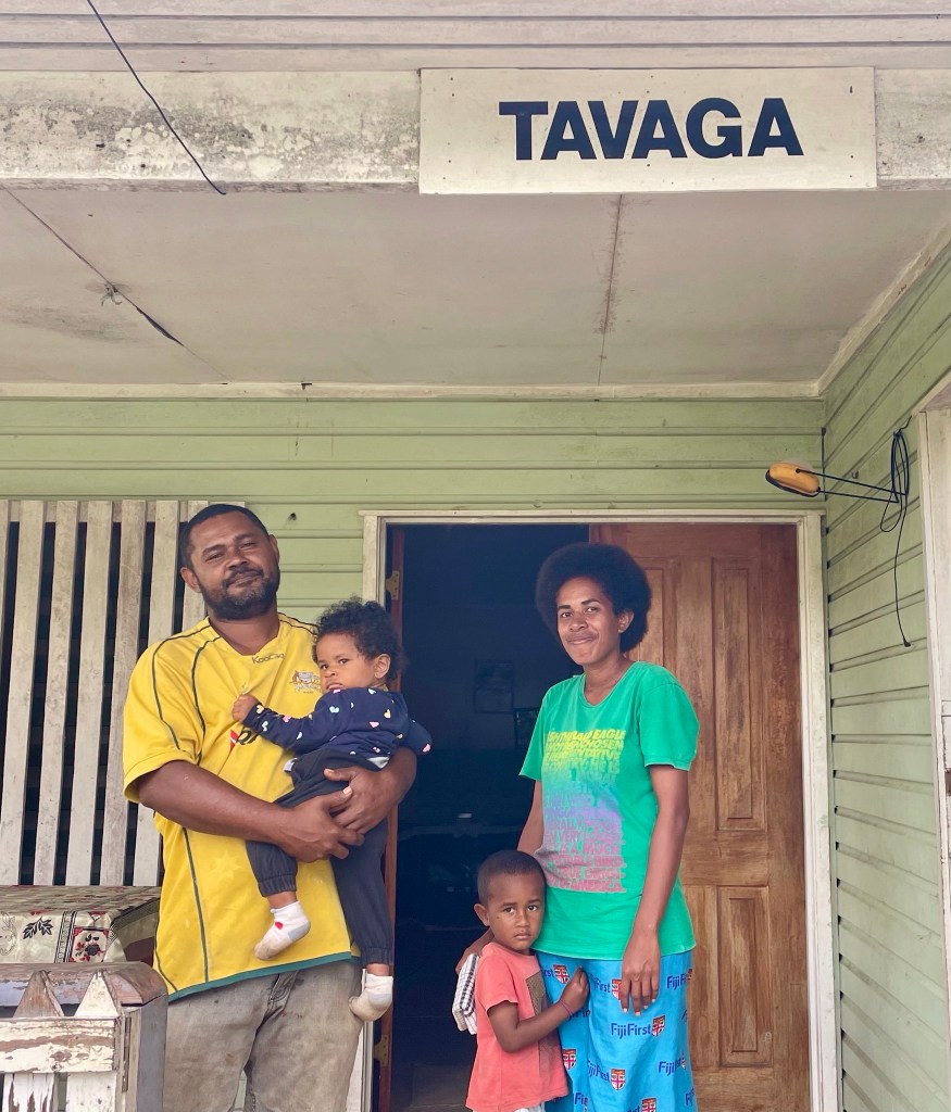
The island life is very simple, and the people are quite poor in material terms. The villagers are relatively independent and self-sufficient, depending only on a small monthly supply ship. The center of every village has a Christian Church, a school, and a soccer field. Many of the older children attend secondary school in the capital, Suva, in Viti Levu.
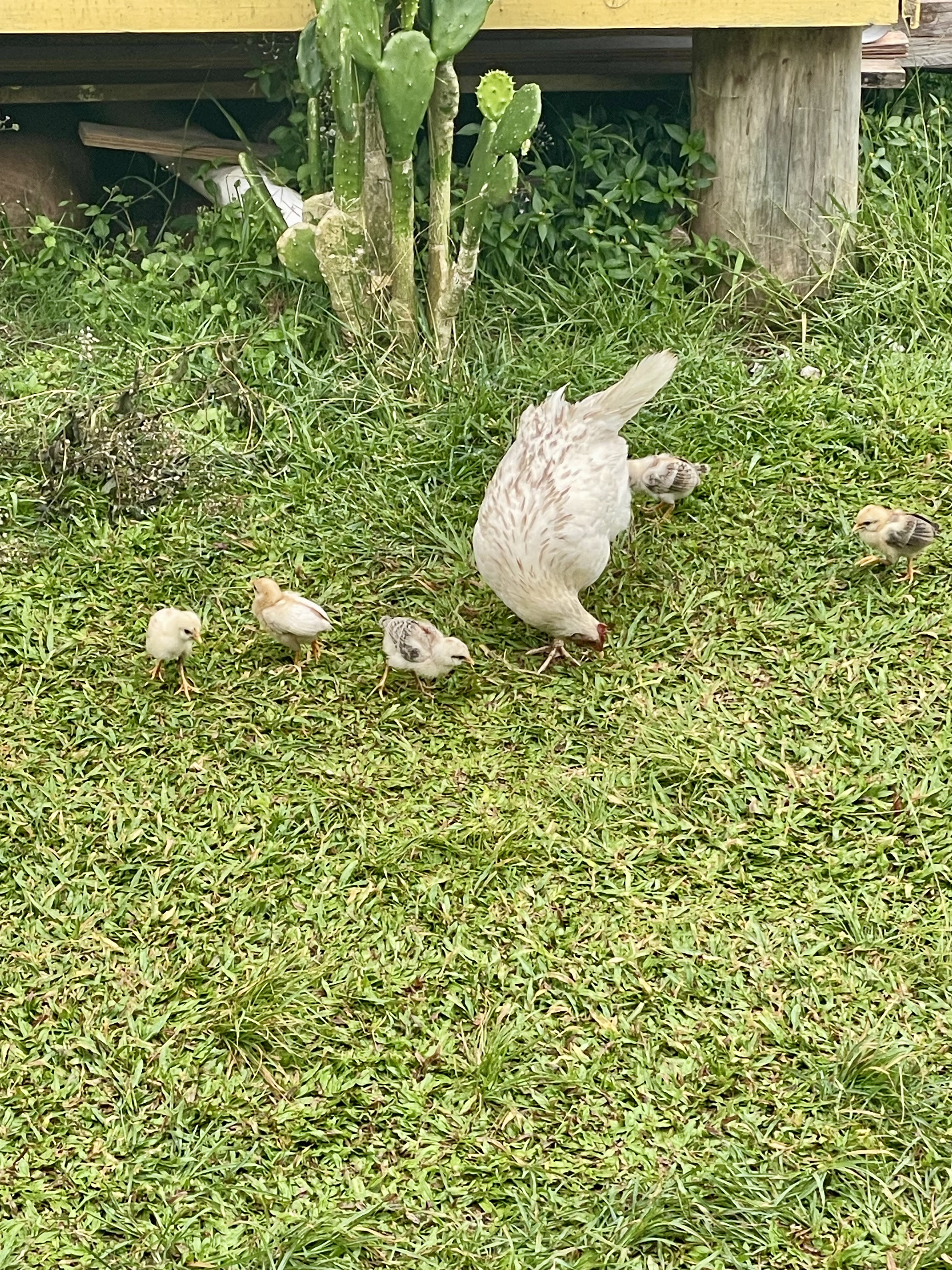
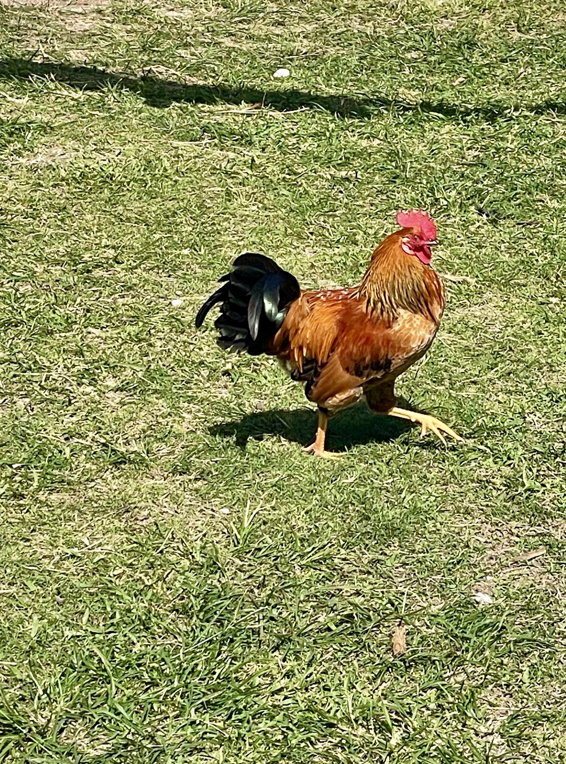
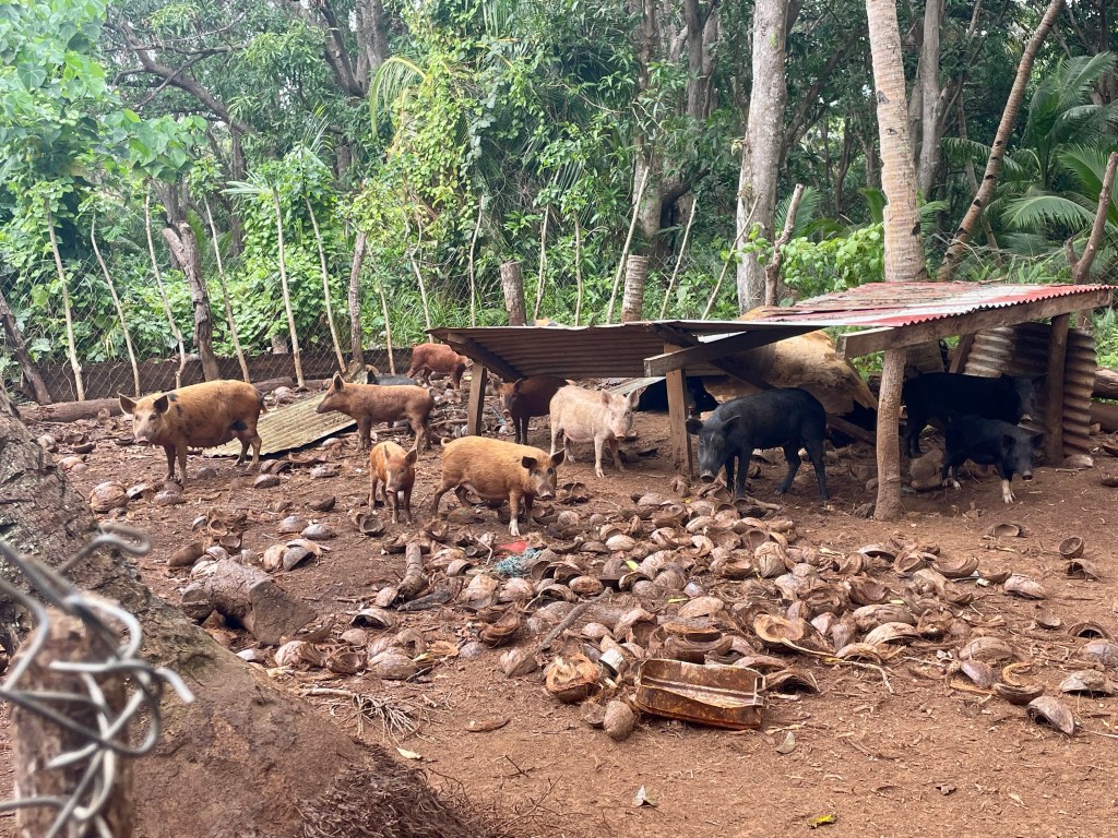
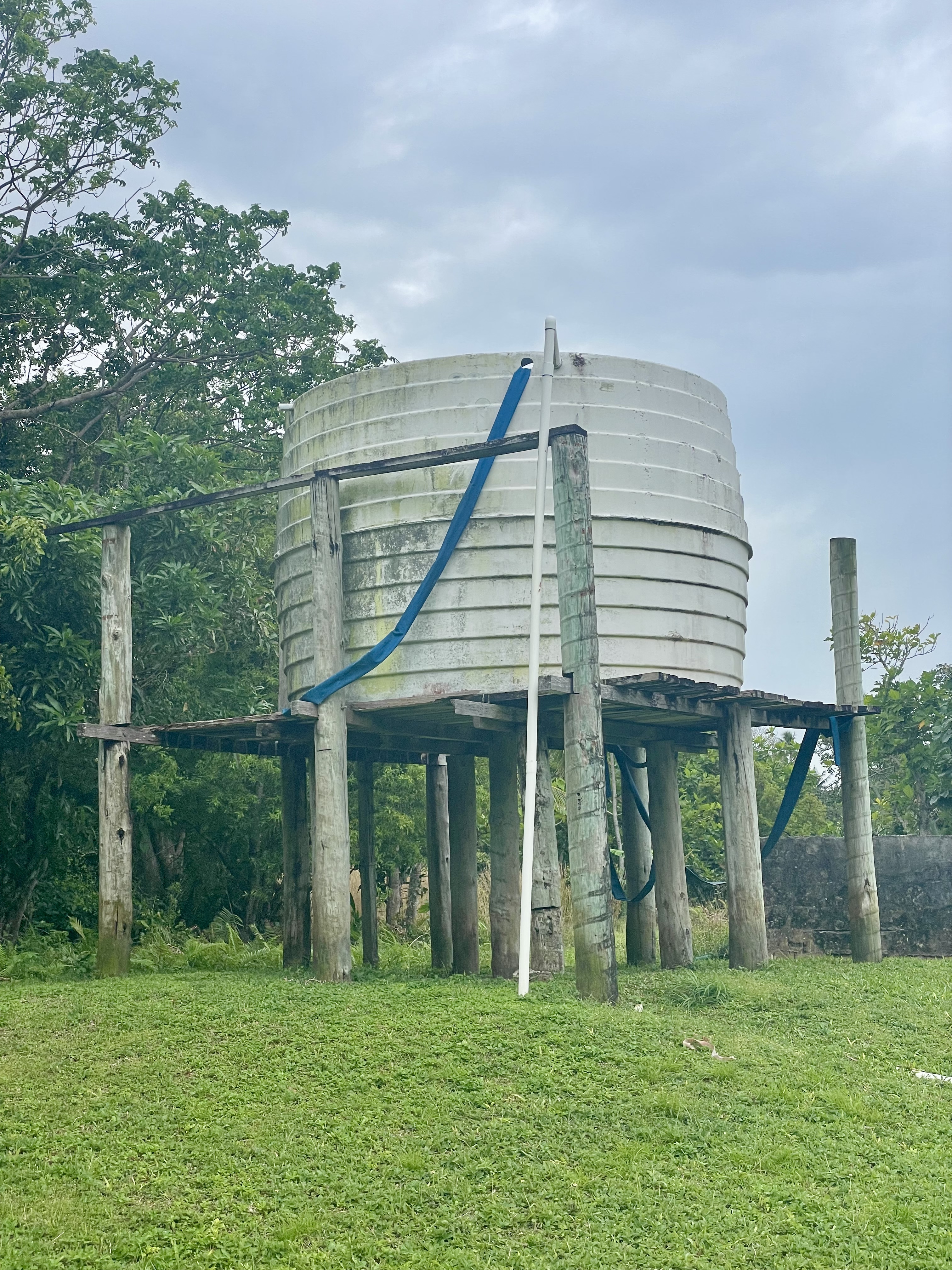
Enjoying the generous bounty of Mother Nature, the villagers farm vegetables, coconuts, pigs, and chickens off the land. They fish and dive for clams in the surrounding waters. There are no resorts, very few roads, markets for supplies and fuel, and a limited internet connection.
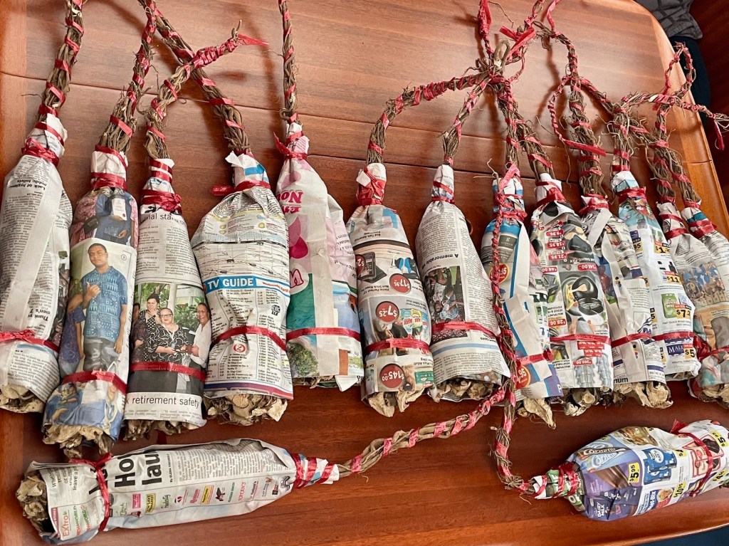
The local people have traditions and rules expected to be followed by those who visit their island by boat. After arriving in an anchorage, visitors are expected to do Sevusevu in the nearest village, ie, present a gift of Kava root (promotes mood enhancement and relaxation) to the chief. The visitors are required to be properly dressed (knees covered with a sulu and shoulders covered with a shirt, no hats, backpacks, or sunglasses).
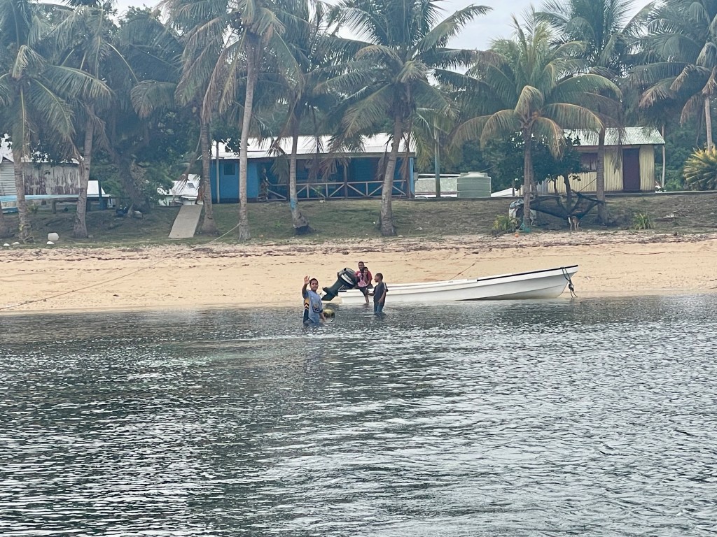
Local children playing on the beach usually greet any visitors and accompany them to the village headman, or Turaga ni Koro, who takes them to the chief’s house. Thankfully, most of the villagers, including children, speak some English.

It is understood that the visitors are seeking permission to anchor, go ashore, and enter the village community, and the Kava gift is an expression of gratitude for this hospitality: cruisers are similar to those who pitch a tent on someone else’s driveway.
During this brief Sevusevu ceremony, the chief accepts the gift of Kava and grants the visitors permission to anchor and enjoy their stay. Later, in an evening ceremony, often after the visitors are back in their boats, the Kava root is soaked in water and squeezed (by hand) into a drink to be shared by the chief with other villagers. We were not asked to take part in preparing or drinking Kava.
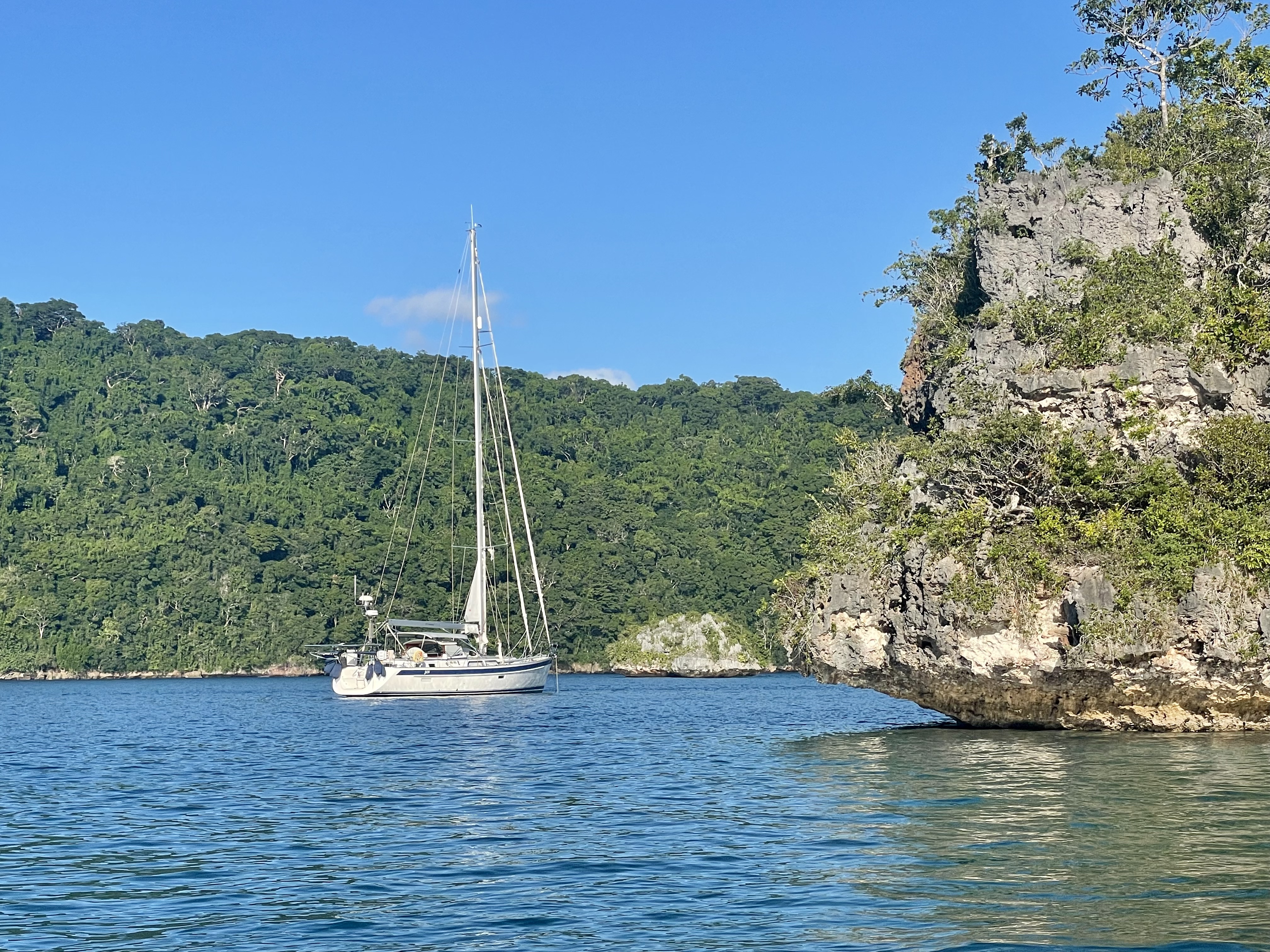
Vanua Balavu Island
This is the largest island in the Lau Group with several villages: Daliconi, Susui, and Lomaloma.
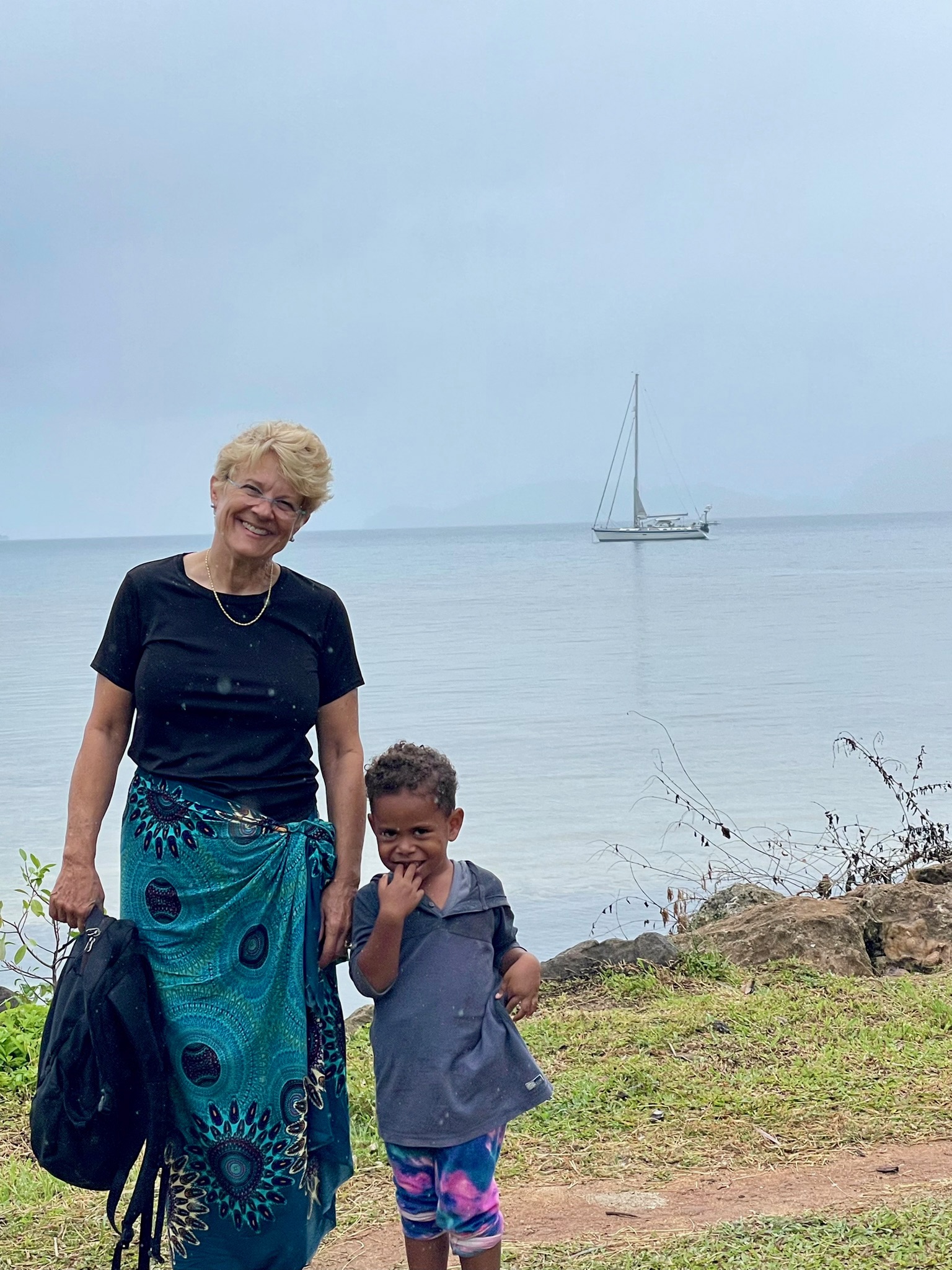
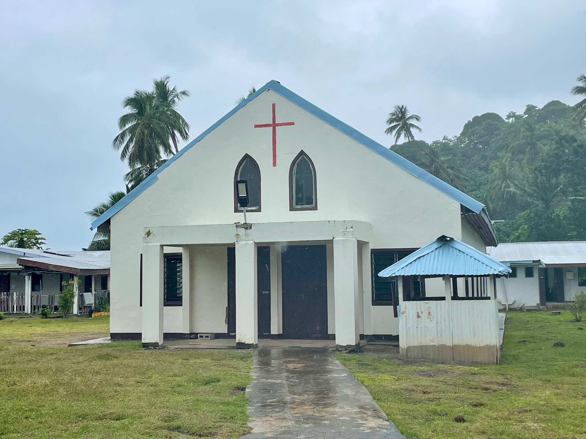
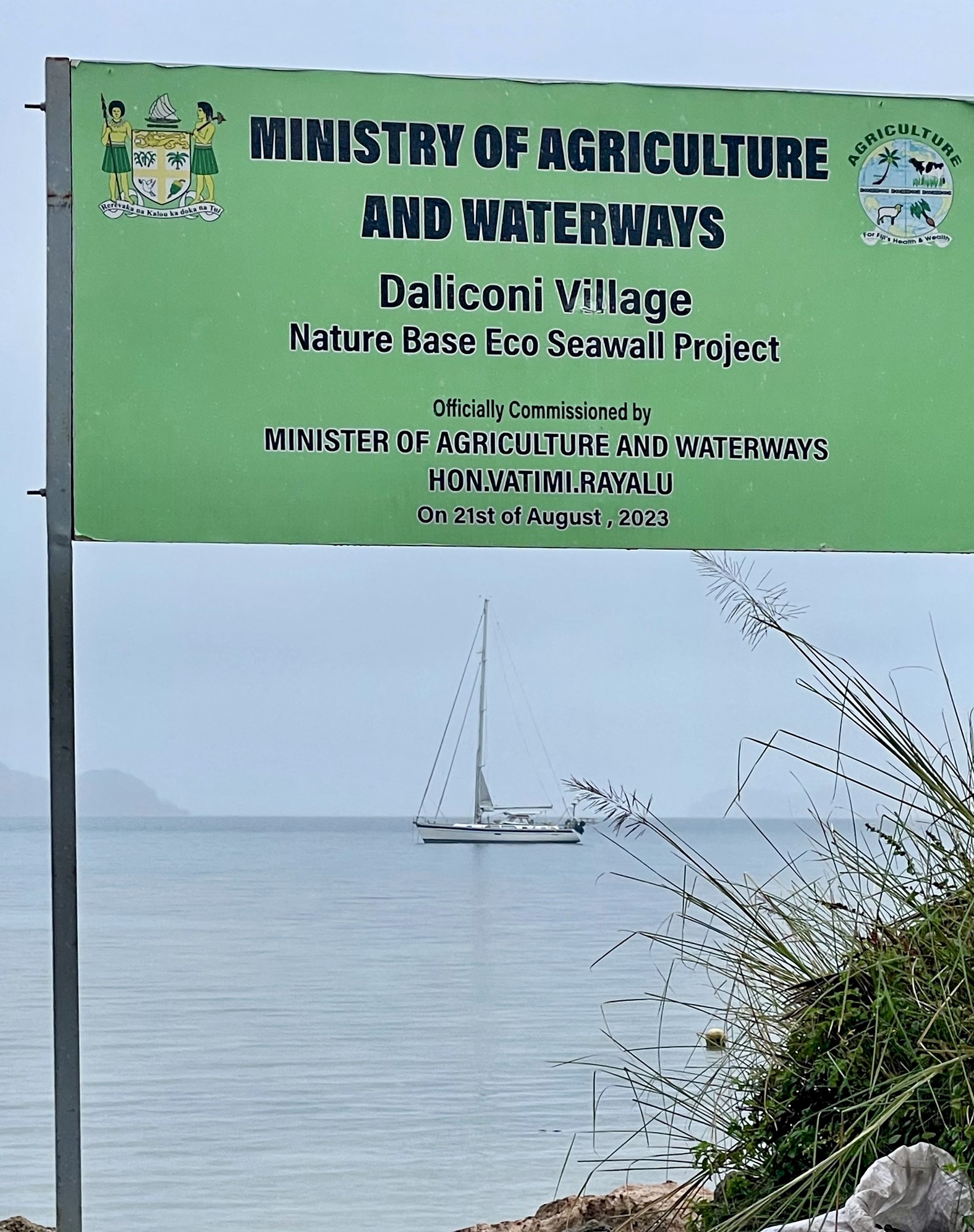
*Daliconi Village
Daliconi was our first village, and first Sevusevu. We wanted permission to visit the surrounding Bay of Islands, which is known for its beauty and tranquility.

Around the village…


*Bay of Islands


*Susui Village
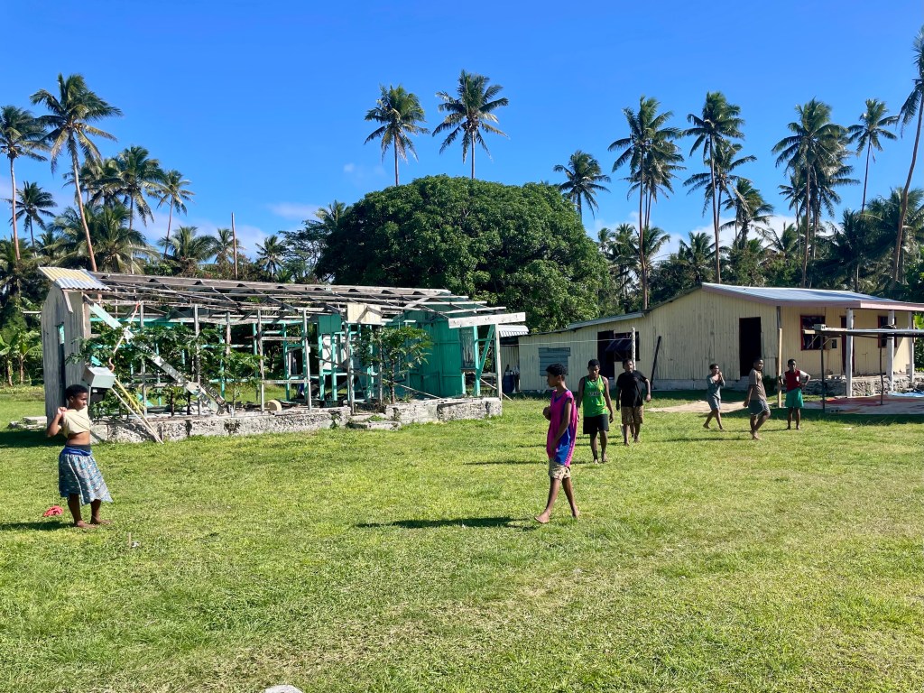
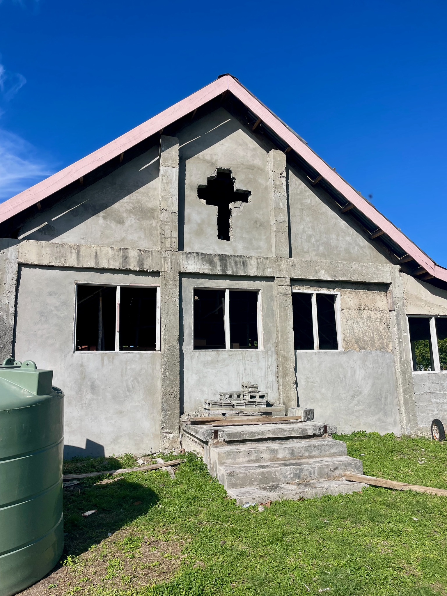
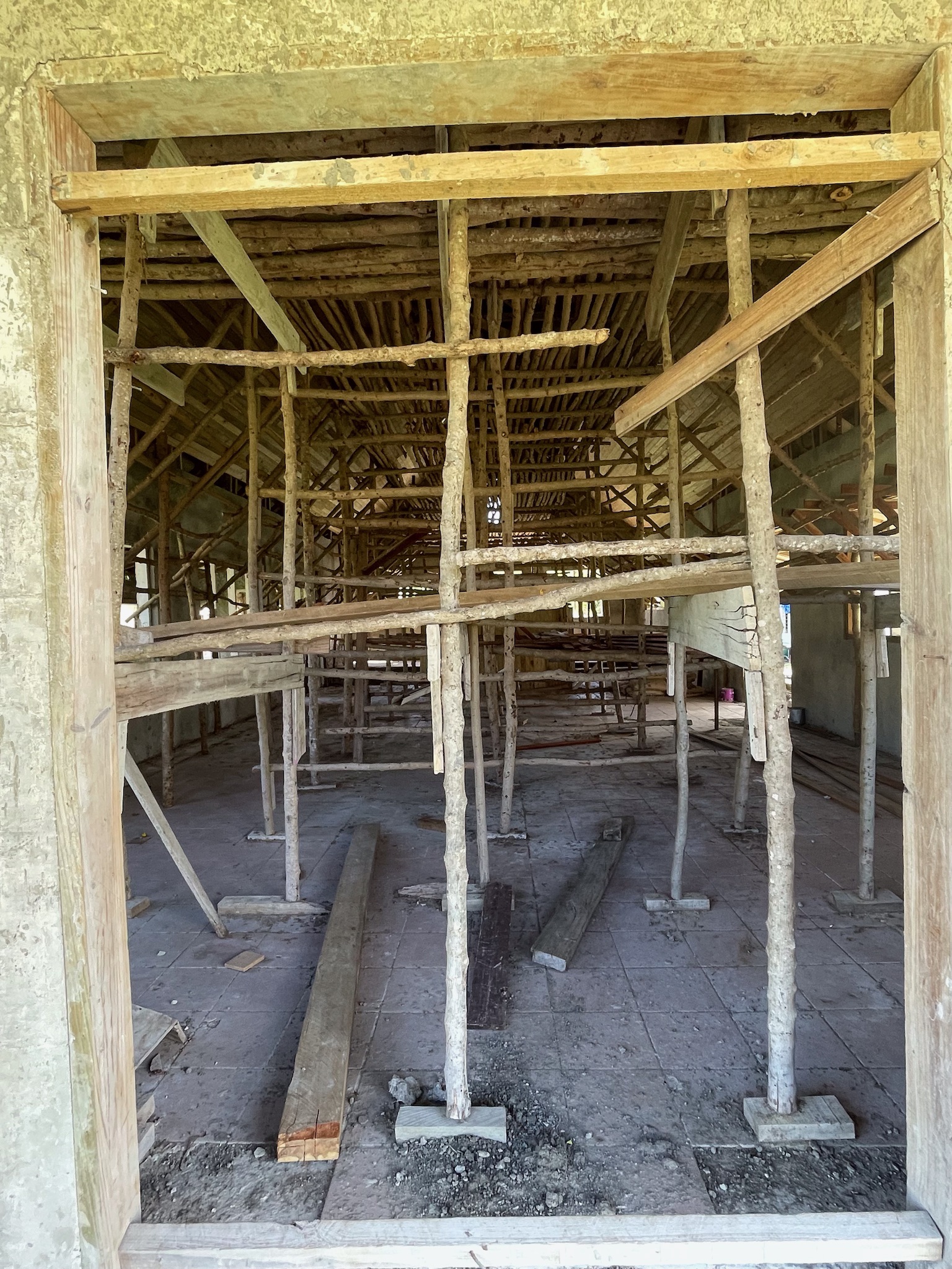
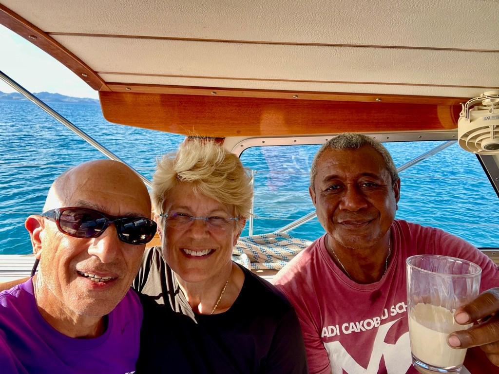
This is a small village of about 80 inhabitants, with a primary school and a church under reconstruction. The older children go across the bay to Lomaloma for secondary school. In February 2025, Tropical Cyclone Rae destroyed the church, along with several houses and many crops. After meeting Chief Felipe and doing Sevusevu, we were shown around the village and lagoon by Jacob, the headman. Later that day, we invited him to our boat for a cup of tea and cookies.


Rebuilding the village church is progressing slowly.
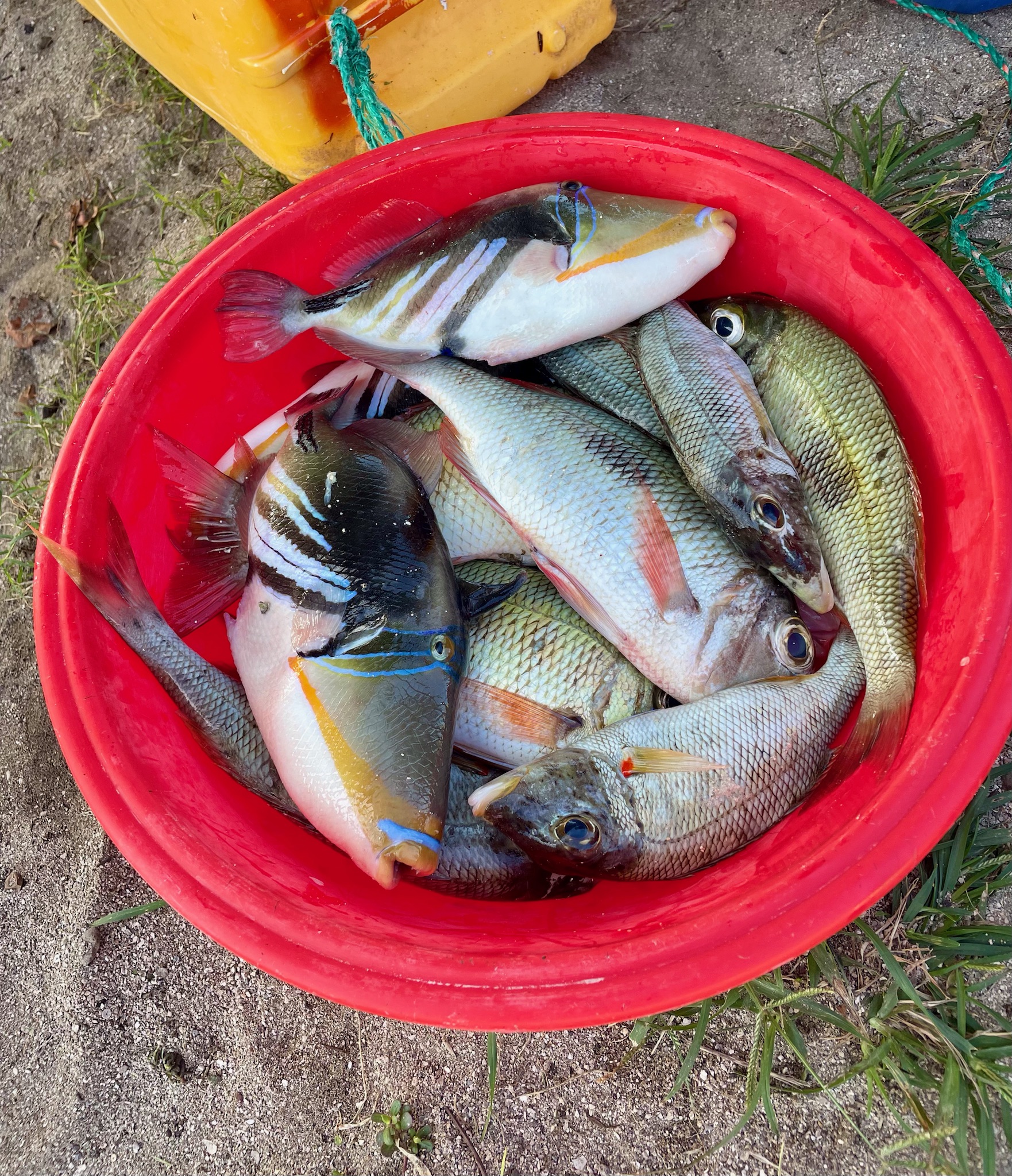
Walking along the inner lagoon with Jacob
We walked for a couple of hours while Jacob looked for his wife, who had left in the morning to fish on the reef. We found her back in the village— her catch is shown in the bucket of colorful fish above.
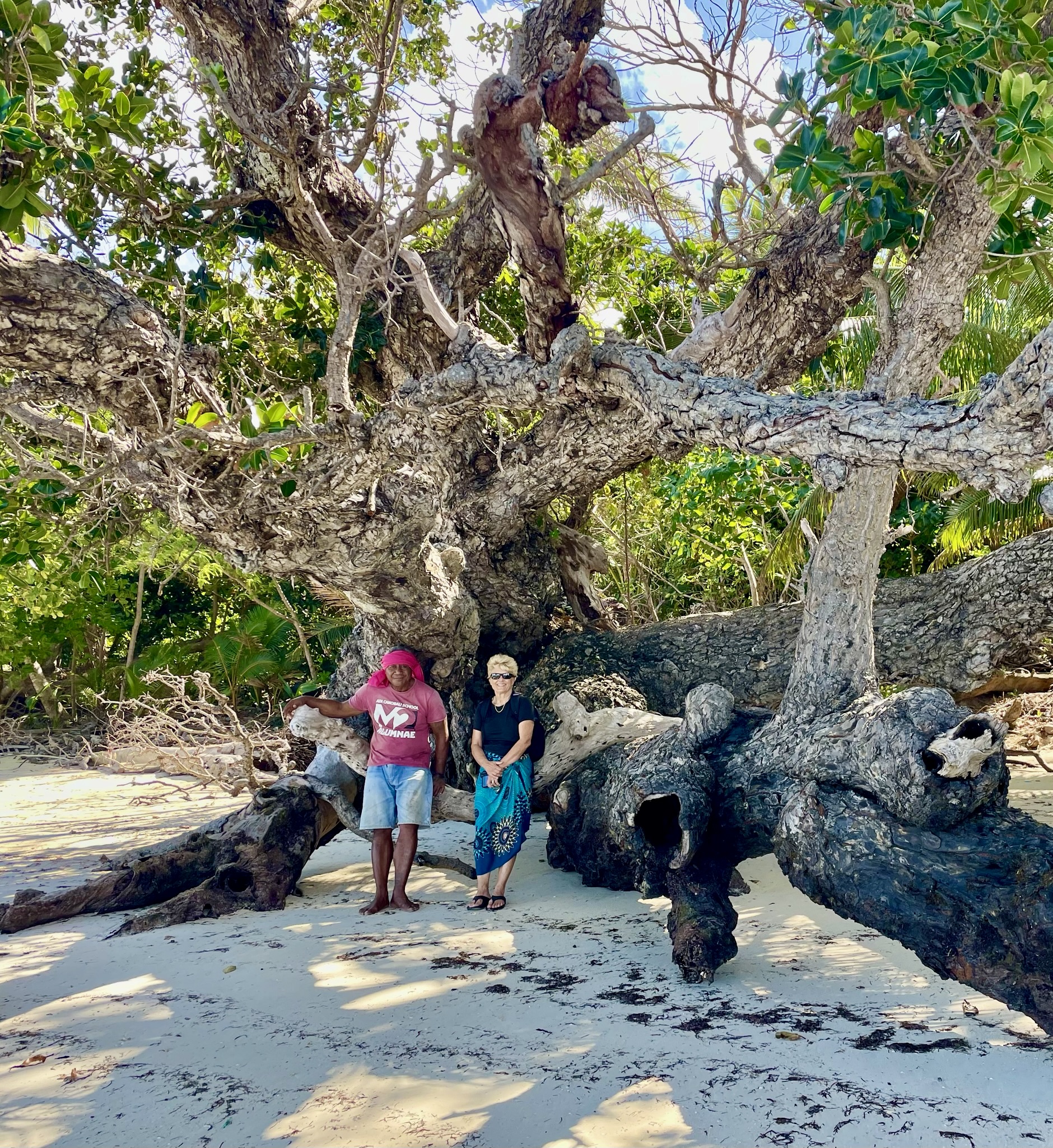
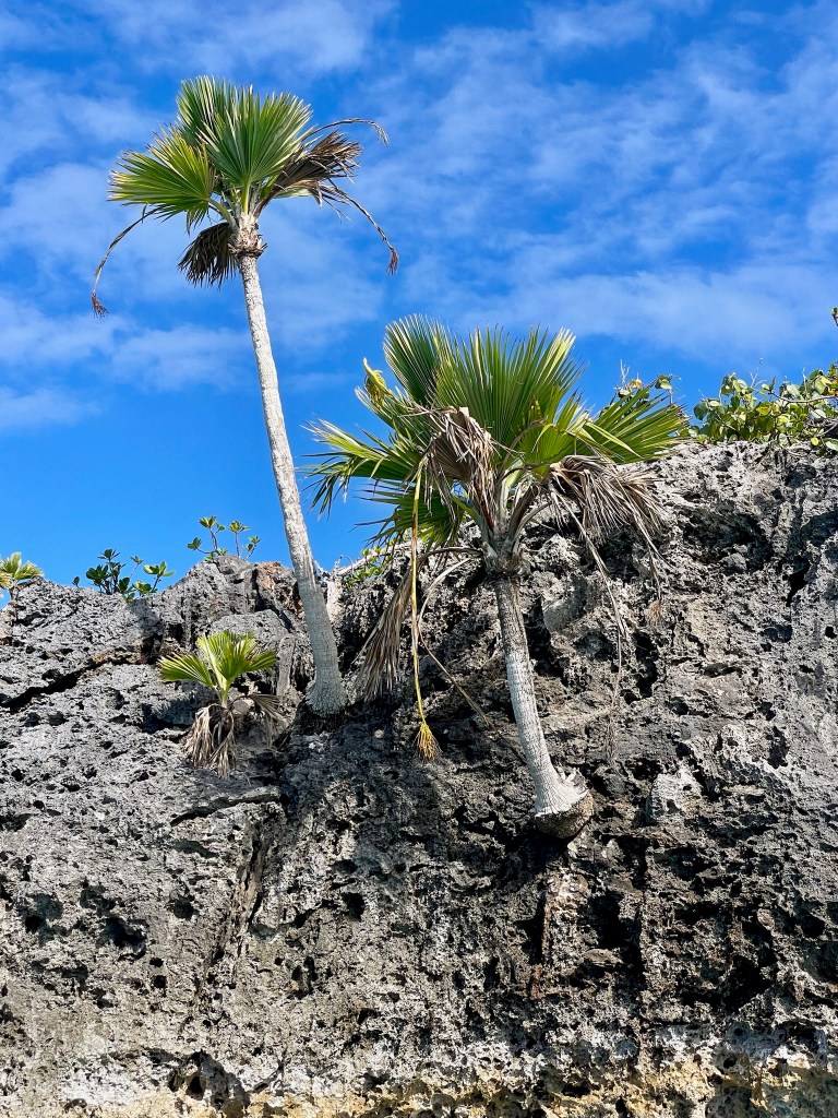
We were amazed by the big trees growing in this very salty environment.


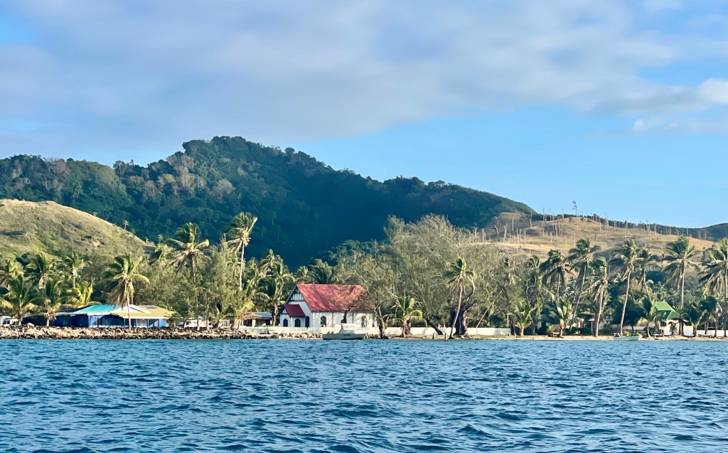
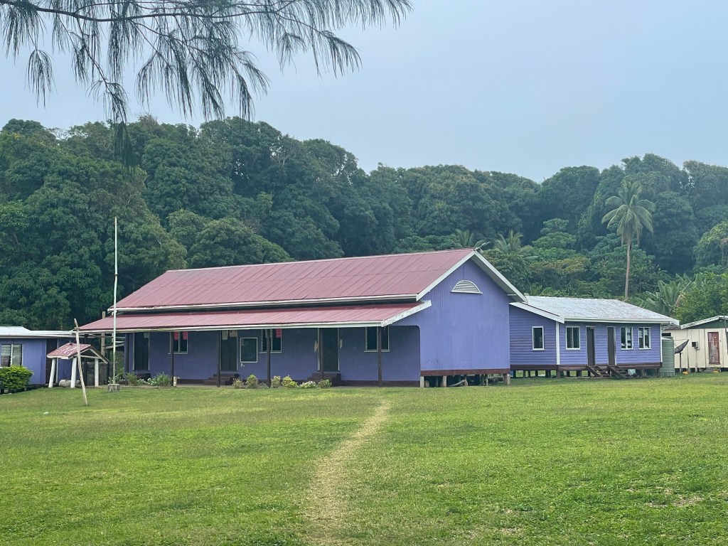
*Lomaloma Village
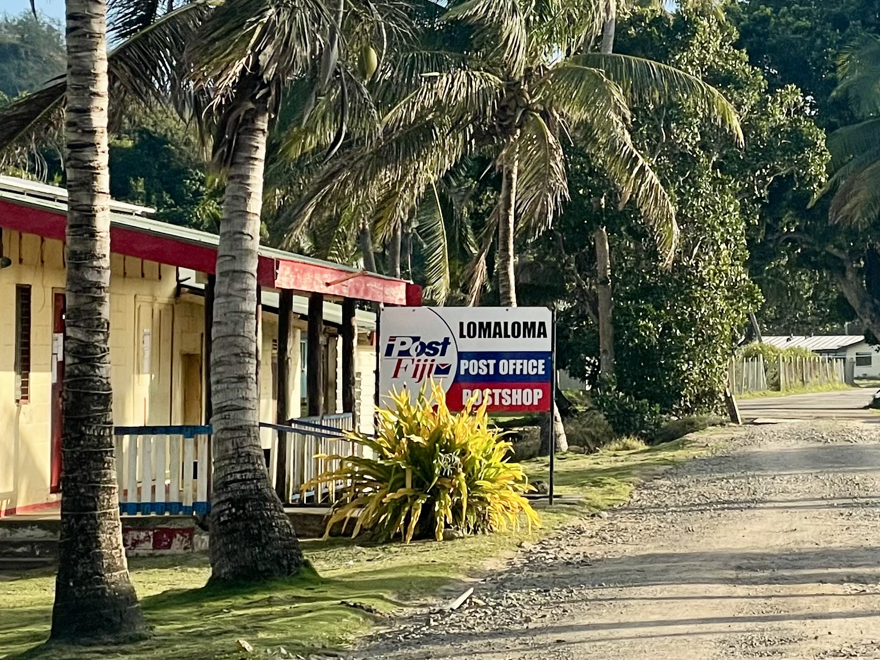
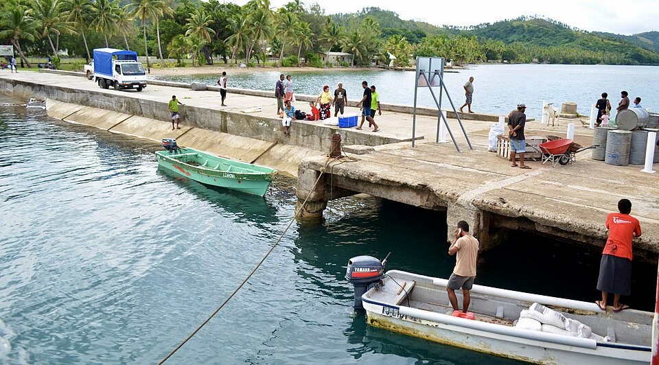
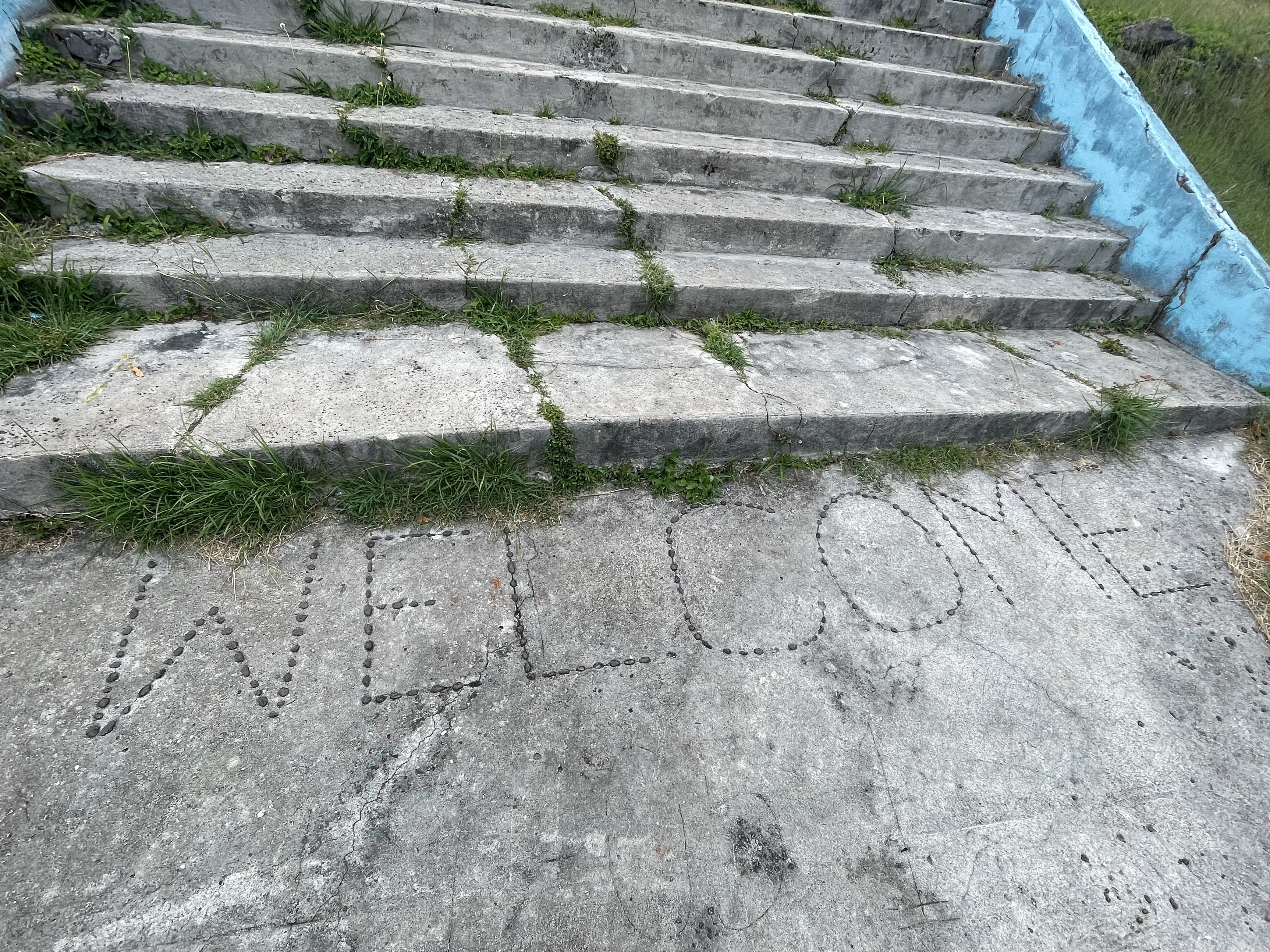
Lomaloma village is across the bay from Susui village. It is supposedly known as the “first modern village” in Fiji. It is larger than Susui, but since we had already done Sevusevu in Susui, we did not have to do it in Lomaloma. The village has a concrete wharf, an airfield, a large secondary school, a few churches, and several stores (each with only one room) with very limited supplies, including some local vegetables and fruit.
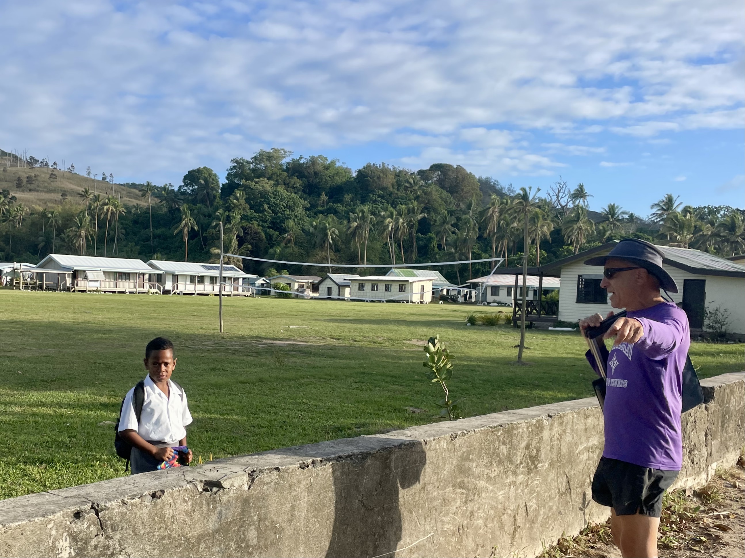
Around Lomaloma village

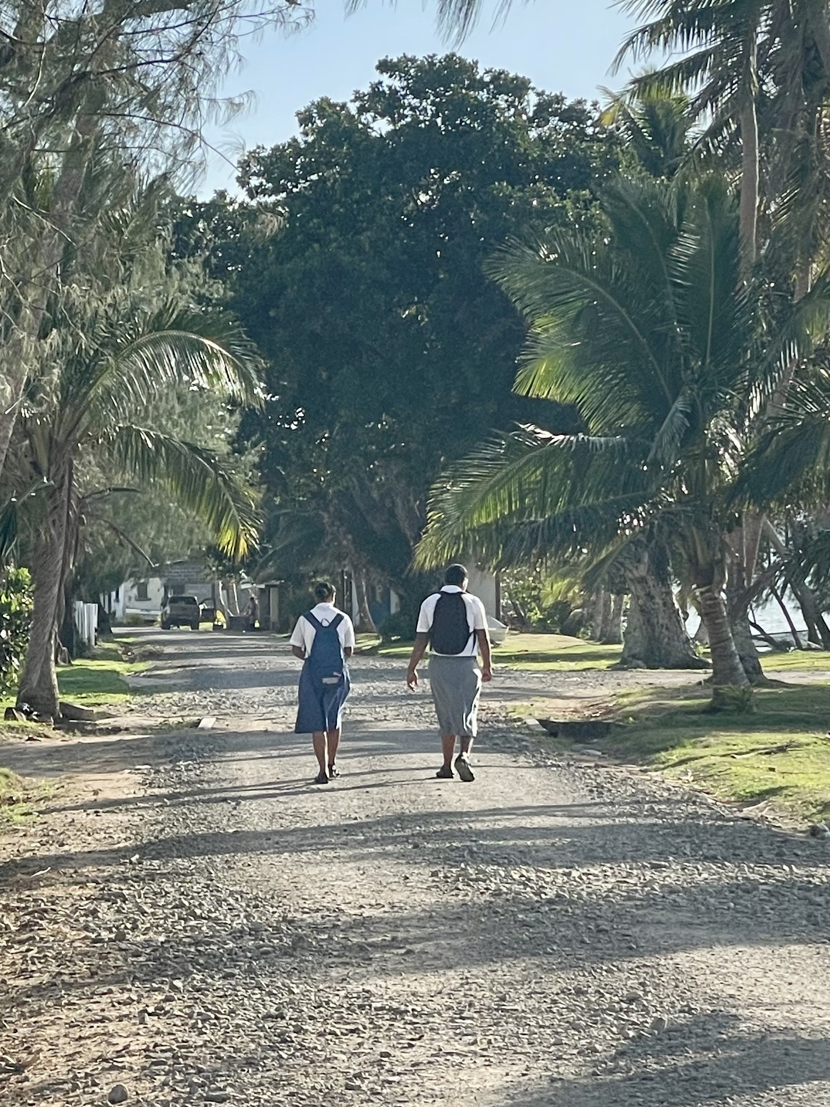
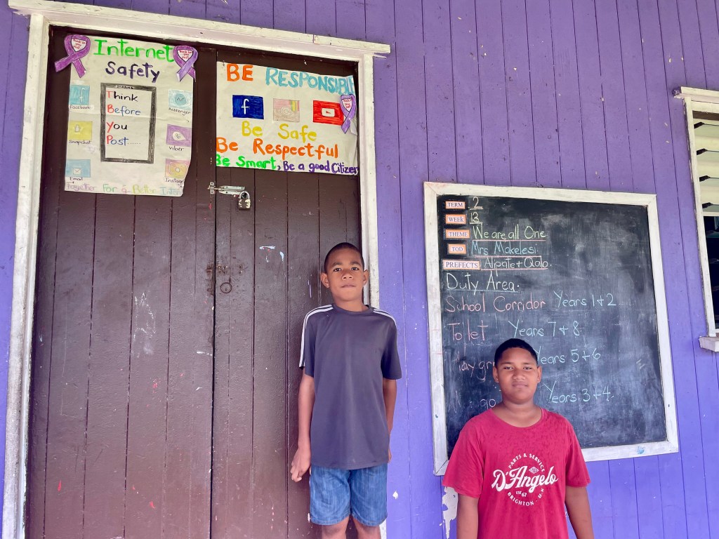
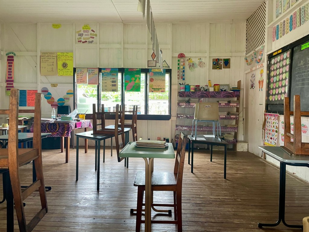
Just another school day in Lomaloma


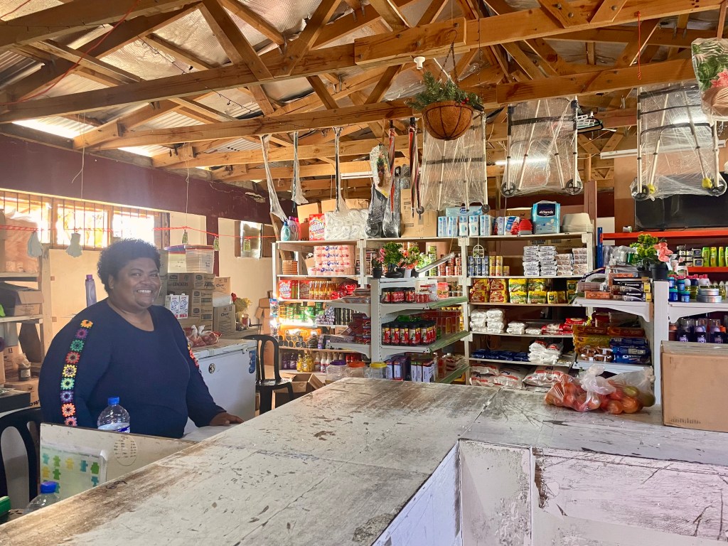
A local store: supplies are all behind the counter!

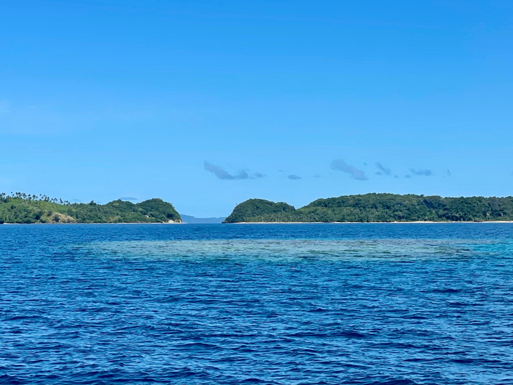

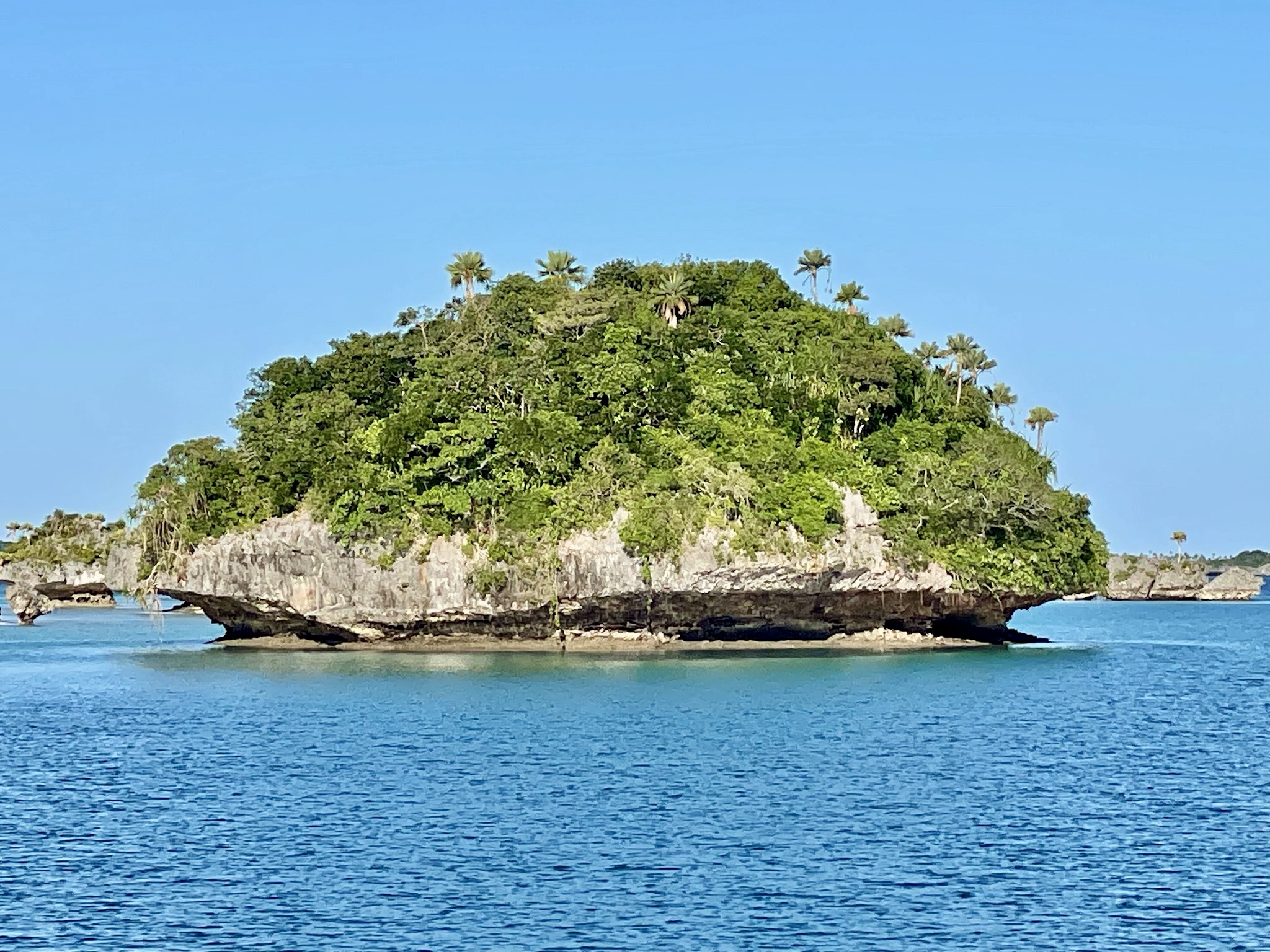
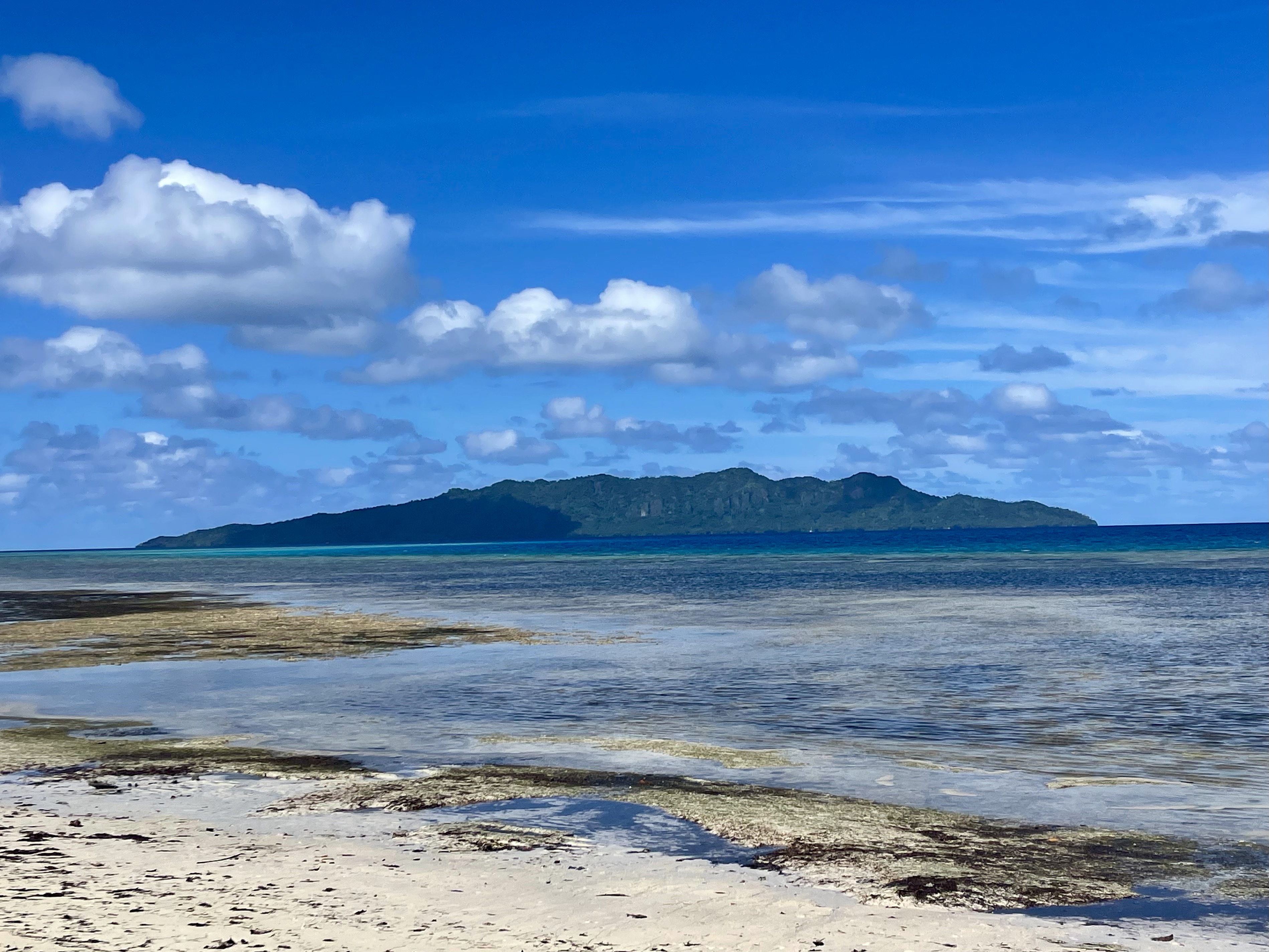
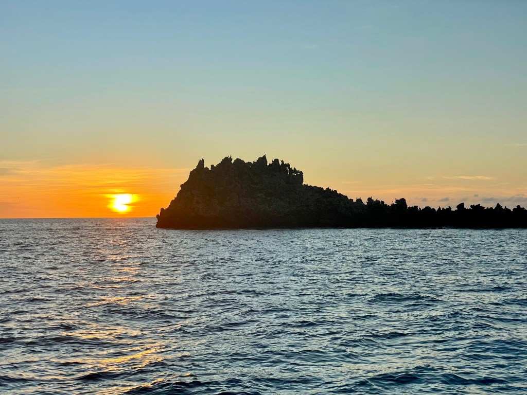
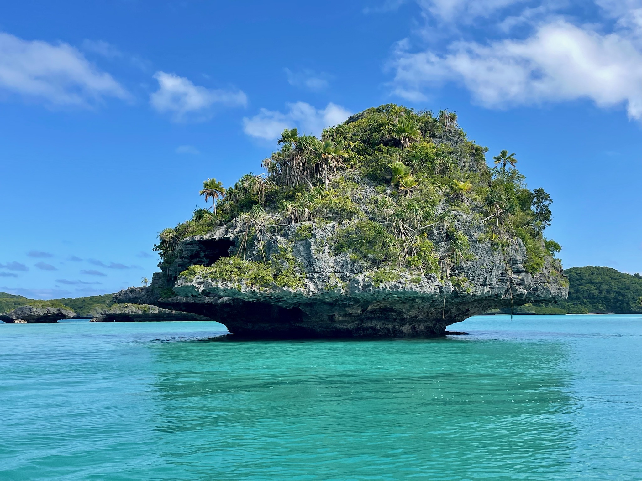
Reid Reef (Nobody comes here!)
This is a large lagoon with only three tiny islands. One of them, a rugged, wild, craggy rock which was full of birds, has the only patch of sand, so this is where we anchored. We snorkeled around the rock, admiring the colorful fish, coral heads, and countless giant purple clams. At high tide, the waves jumping over the reef made the anchorage quite rolly. We were the only boat!

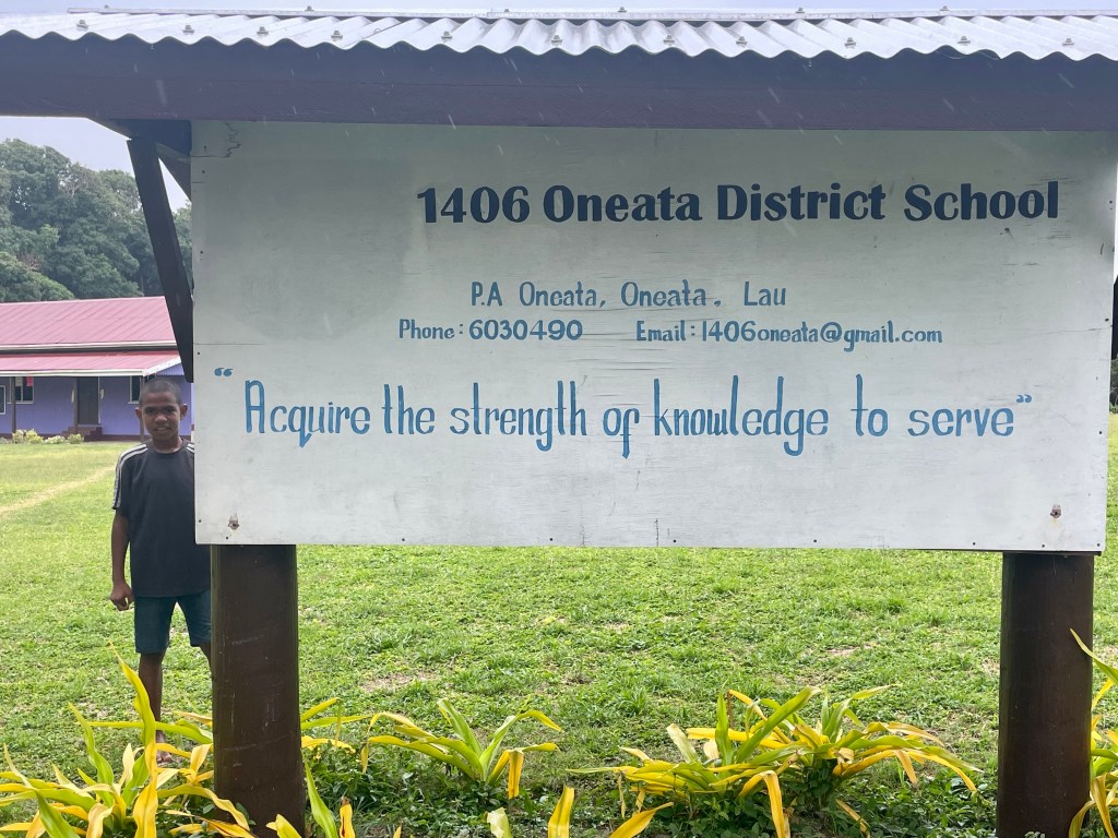
Oneata Island
*Daikiuloa Village
This village has a church, Oneata primary school, a clinic with a nurse, a small shop, and a pig farm.


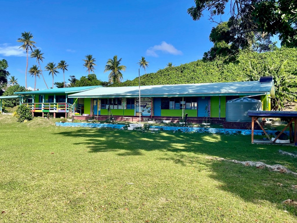
Oneata Primary School

Around the village…


*Waiqori Village
We walked along a hillside trail for 30 minutes to reach Waiqori. We were accompanied by several local village children. Waiqori has one church, and another one is in construction. Nice homes surround a central field. Every school day, the children from Waiqori walk to (and from) Daikiuloa to the Oneata Primary School. One friendly villager invited us to sit and chat.


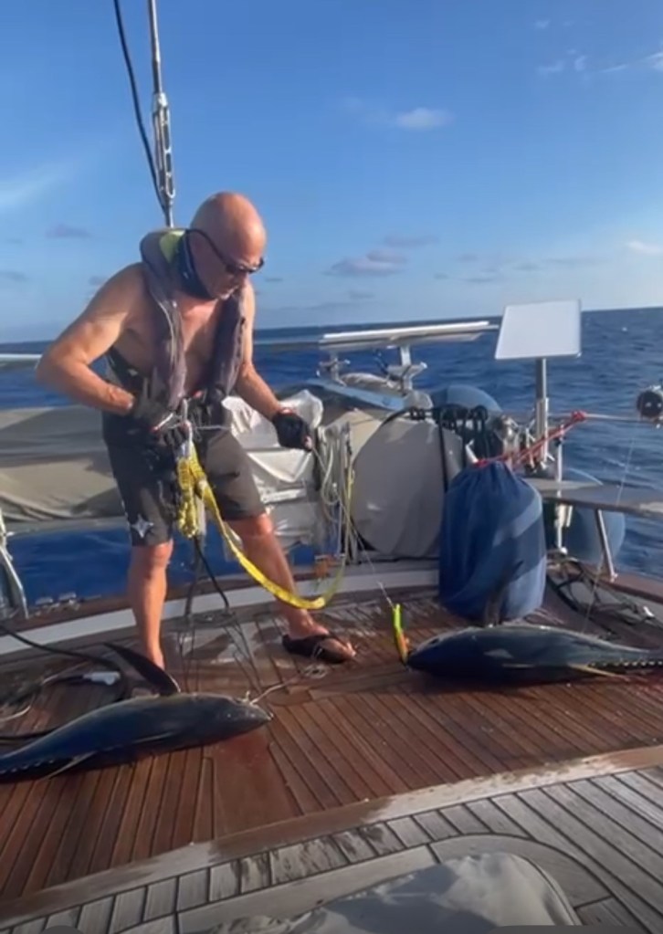
Catching some yellow-fin tuna between the islands!
Komo Island
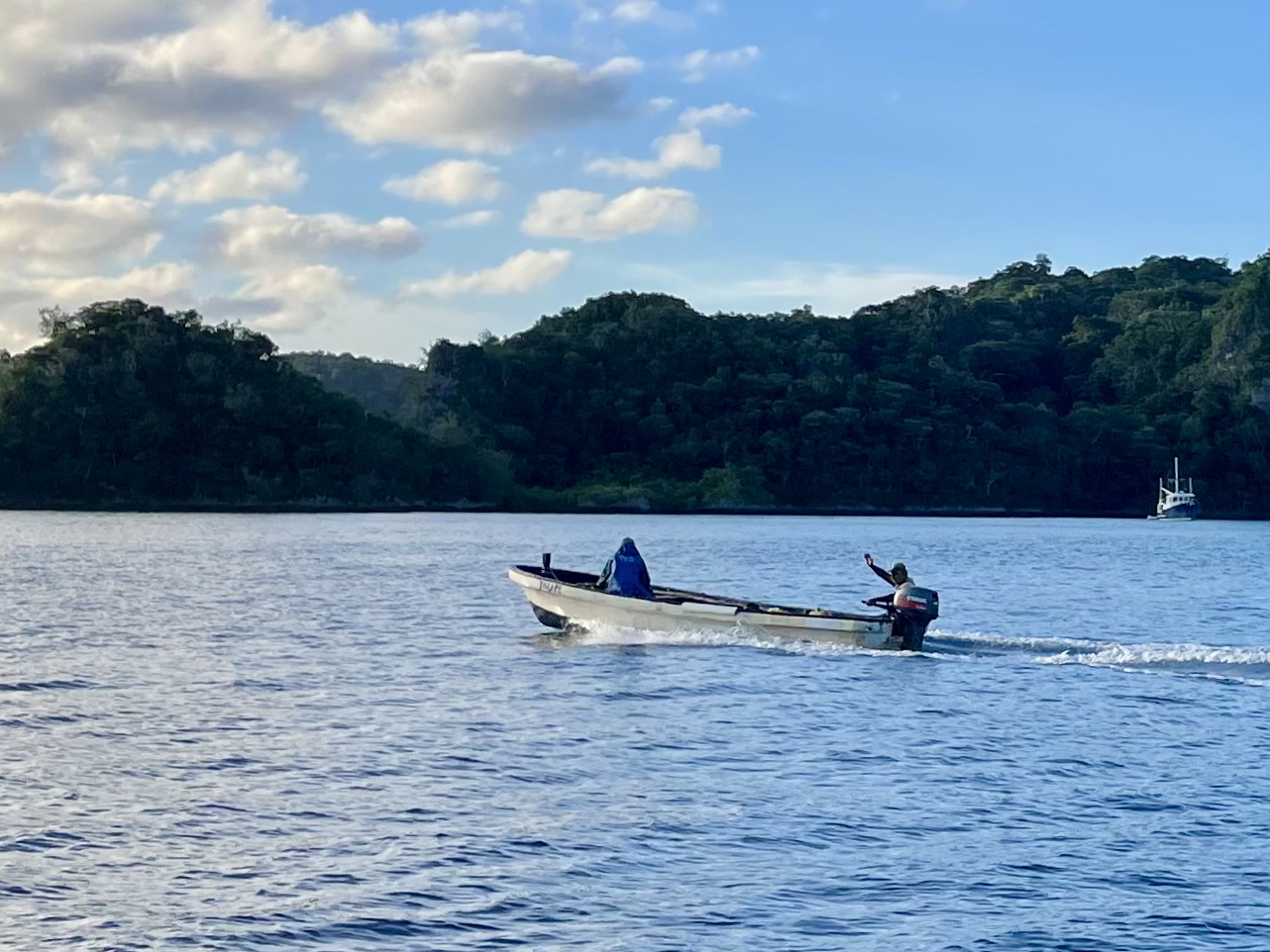
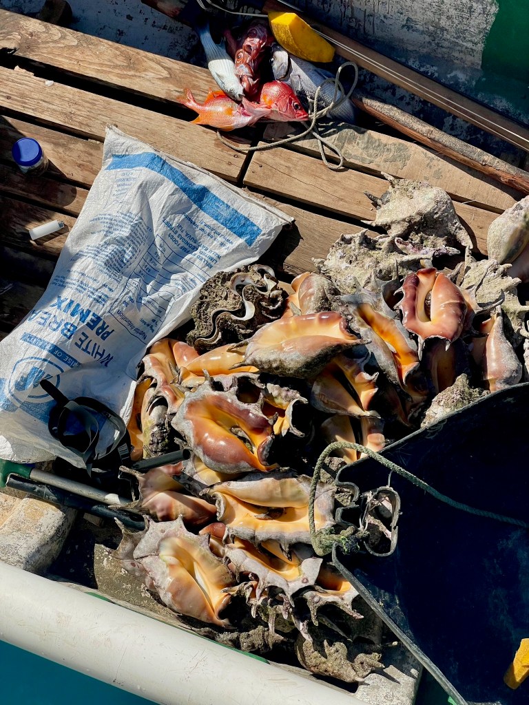
Once inside the reef, we anchored in the north shore of the island, while the only village is on the south shore. A family passing by in a local fishing boat stopped and sold us some giant clams. The shelled clams are shown in the photo below. Since we were only stopping for a night, we gave our Kava and other gifts to them to present to the chief.


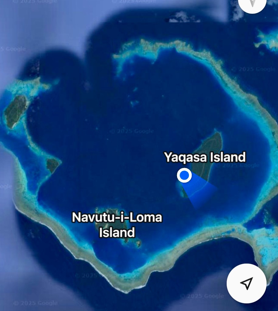
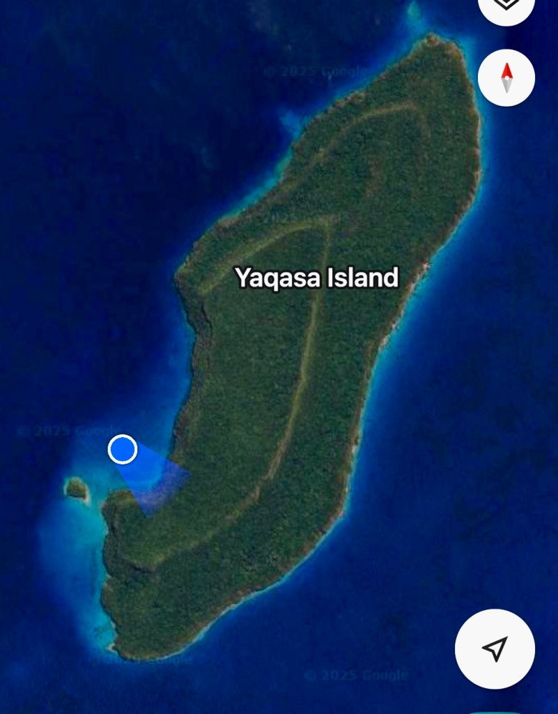
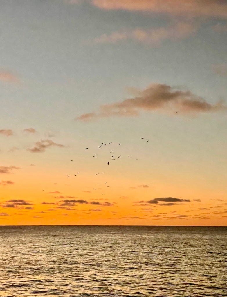
Yagasa Cluster
Four small uninhabited islands are inside this atoll, and for some strange reason very few boats stop here. We anchored for several days in a protected cove of Lagasa Levu, which has a huge population of several types of birds, mainly boobies and frigate birds. We were mesmerized watching the birds fly and land in the trees.

Ogea Island


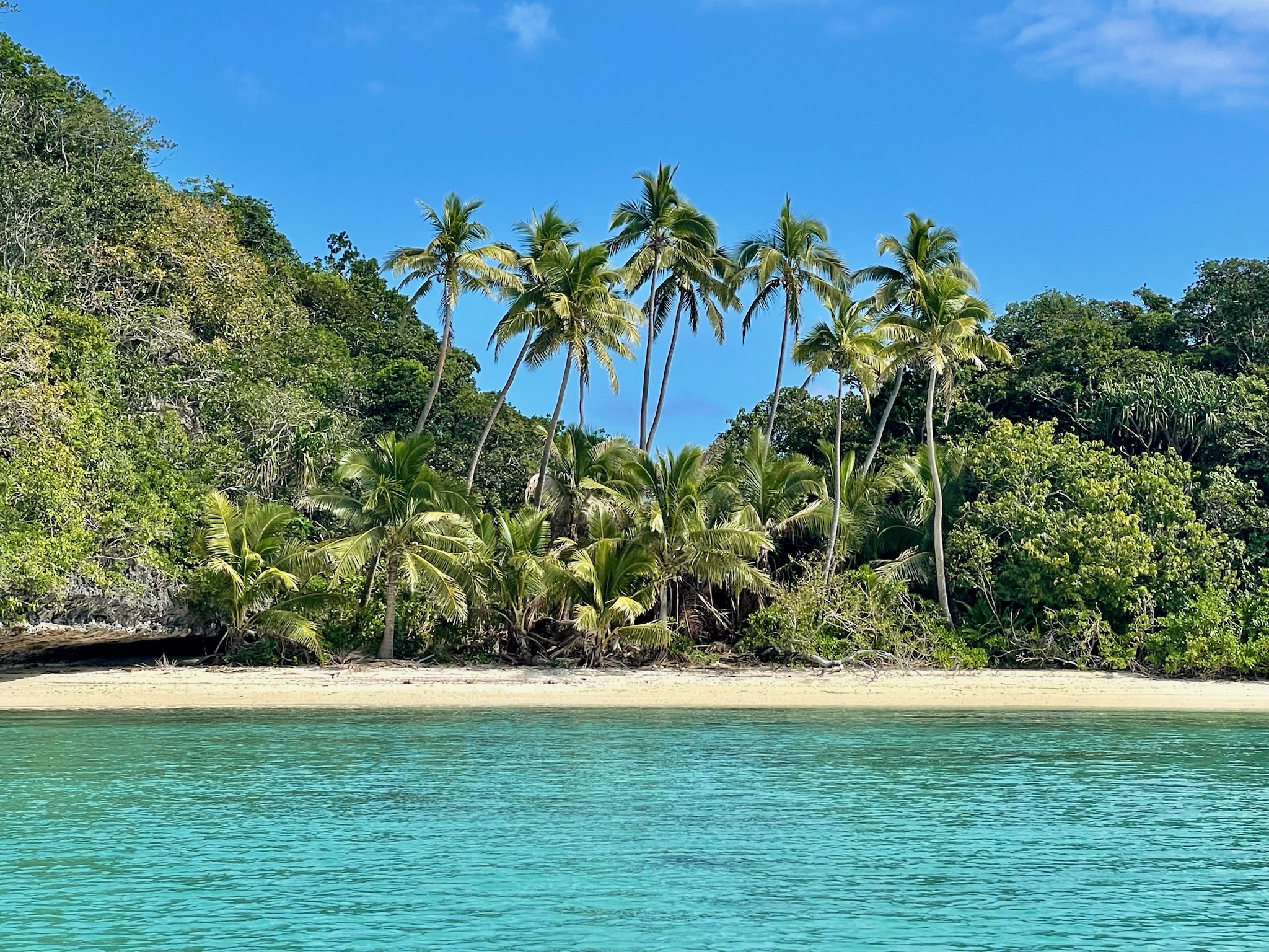
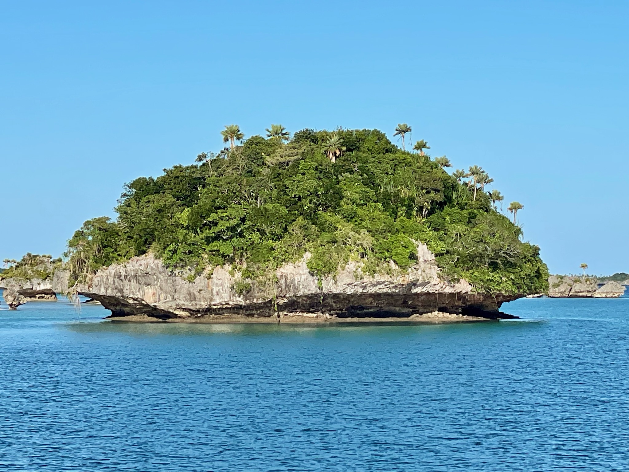
Fulaga Island
Fulaga (pronounced Fulanga) is the most southern island in the Lau Group, and the most beautiful. With its numerous small islets and bright turquoise and dark blue waters, it looks similar to the Bay of Islands. We stopped a local fishing boat and gave our Kava and gifts to them for the chief. Since the young daughter looked as if she was cold, Giorgio gave her one of his sweatshirts (from our sons’ college). She beamed with warmth and happiness!

Next Stop: Kadavu Island
The Lau Group islands were amazing to experience. We enjoyed seeing an unspoiled world, above and below the water, where human presence has not yet left any trace and disturbances.
It was now time to head back to the west, and… we were also out of coffee!

After an overnight passage, wing-on-wing, our next stop will be Kadavu (pronounced Kandavu) Island which is known for its beautiful coral reefs with many snorkeling and diving spots.

Beautiful! So glad you’re enjoying. Thank you for sharing.
Rose
LikeLike
Thank you Rose!
LikeLike