
We have often been told that Alaska is one of the best areas for cruising in a boat. Heart felt comments made to us by former Alaska cruisers, including ‘Alaska is the place I left my heart’, and ‘The most magnificent scenery I have ever seen’, urged us to make this trip to Alaska so that we could discover if these luring words held any merit. Since the Alaska cruising season starts in June, and we would arrive the first days of July, we decided to make landfall first in Sitka so that we could have time to cruise the inside passage down through SE Alaska into British Columbia and then into Washington State where we would meet our sons, Robbie and Marco, around mid-August.
TIDES and CURRENTS

Like the south of England, France and The Baltic Sea, Alaska is affected by large tidal swings which can exceed 40 feet! The factors that create tides are, in order of importance: the Moon, the Sun, atmospheric pressure and winds. The flow of water in and out of a basin every 6 hours creates a current which goes in opposite directions and is more pronounced at Spring tides (twice a month, when the Earth, the Moon and the Sun are aligned = full Moon or new Moon), and are less pronounced at Neap tides (twice a month, when the Moon and the Sun are 90 degrees to the Earth = half Moon).
Navigating currents and tides
In narrow areas and passages the current may exceed 5-6 knots and may create navigational hazards especially to small boats. In the critical areas we try to arrive at “slack current” ie. the short time between the end of high tide (filling) and beginning of low tide (emptying) or vice-versa, respectively “high slack” and “low slack”. Another factor to consider is when the wind blows in the opposite direction to the current, you have a ‘run’ which creates larger waves.
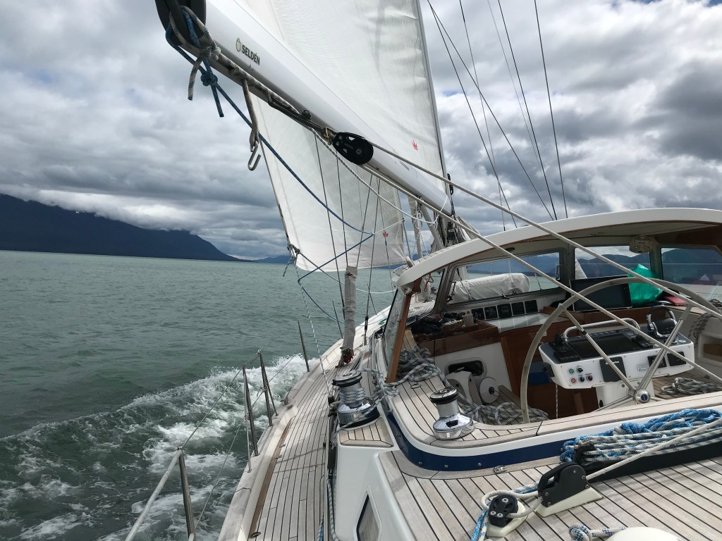
We would be navigating several narrow passages in the next several weeks. The most significant passages are: Neva and Olga Straits near Sitka, and Wrangell Narrows near Petersburg.
Anchoring in currents and tides
The most important consideration when anchoring in an area of a big tidal swing is the fall of the tide = the difference between the depth at the time of arrival to the anchoring point and the depth at low tide (you don’t want to hit the bottom at low tide). The second consideration is the scope, i.e. the depth divided by the amount of chain +/- rope. We like to have at least 1:4-1:5 in calm weather, more in strong winds and waves. If you arrive at the anchorage at low water and the swing at high water is very large, your scope is reduced as well as your anchor’s holding power.
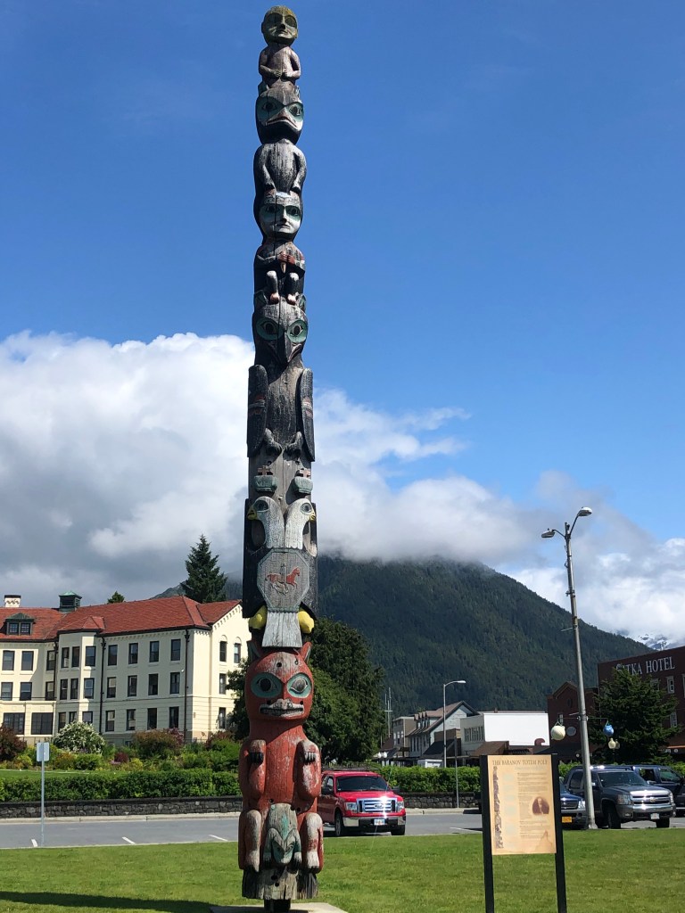
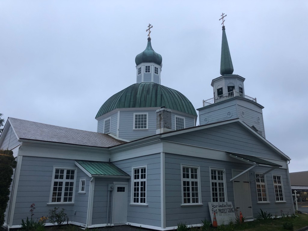
Sitka
We made landfall in Sitka on July 3, 2020 after our 15-day passage from Hawaii.

In the 19th century Sitka was the center of the fur trade and home to the Russian- American Company. It was the first capital of territorial Alaska until the title was ceded to Juneau in 1906. It is also where the transfer of ownership from Russian to the US took place on October 18, 1867. The US paid about 7 million dollars = less than $1 per acre!


Glacier Bay

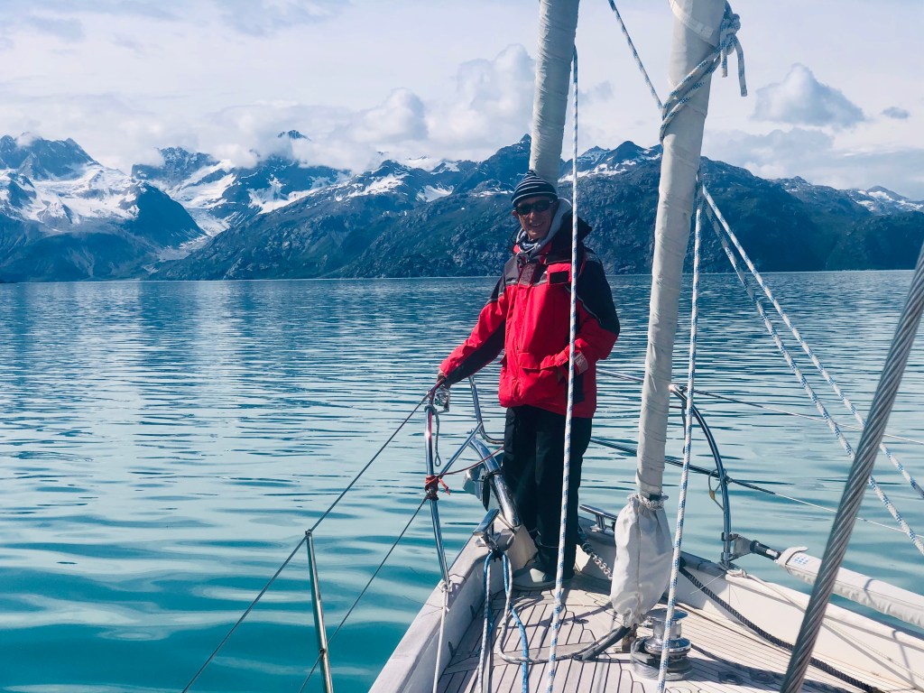

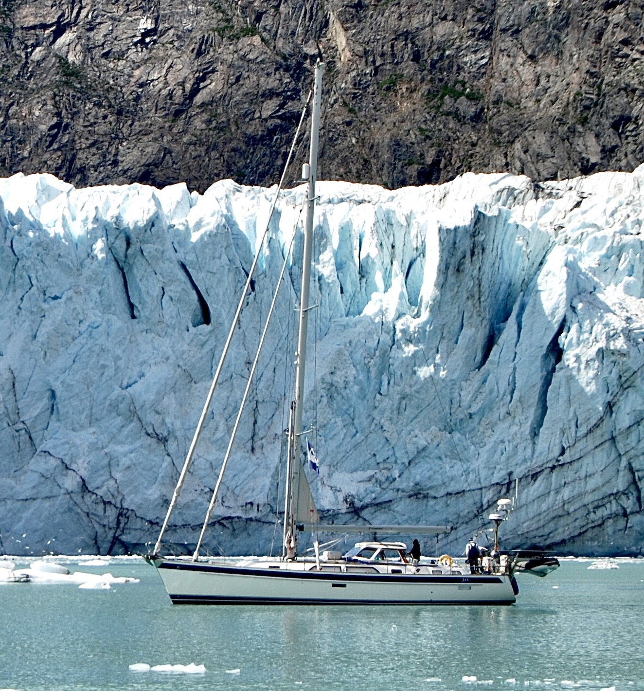
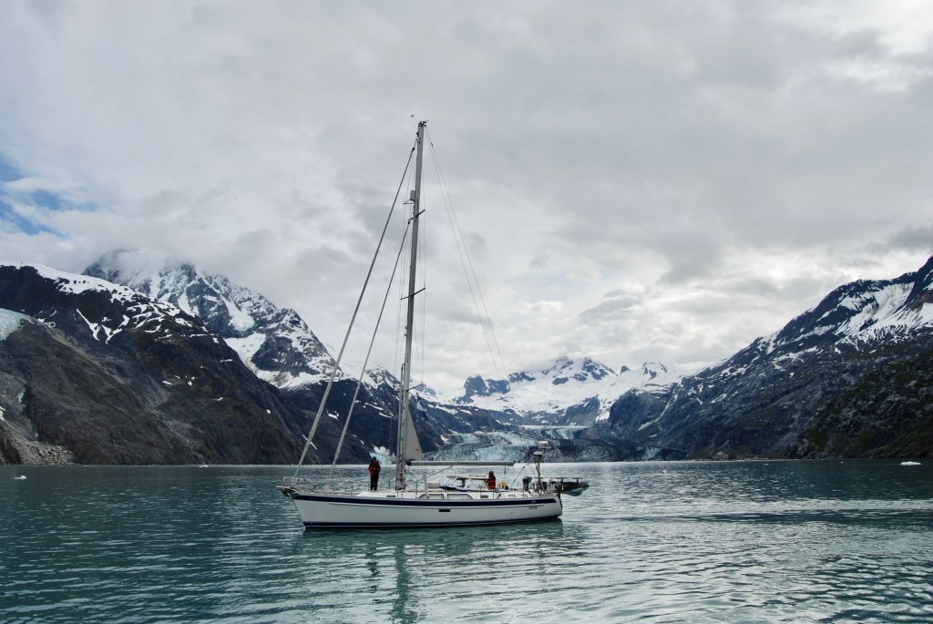
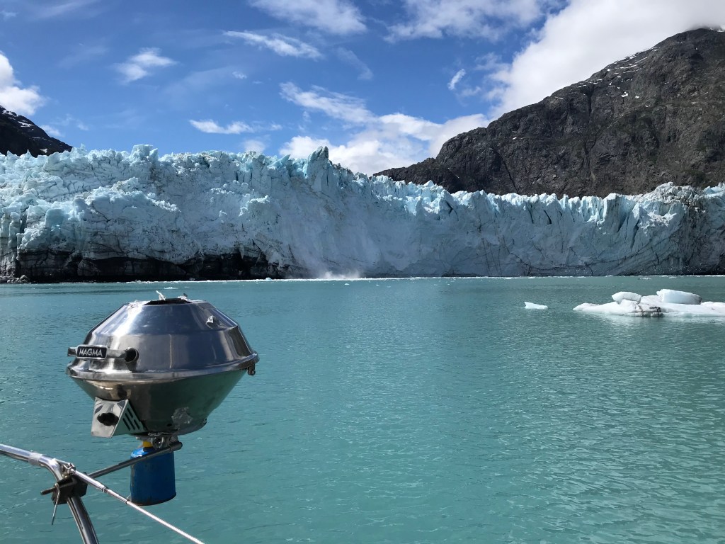
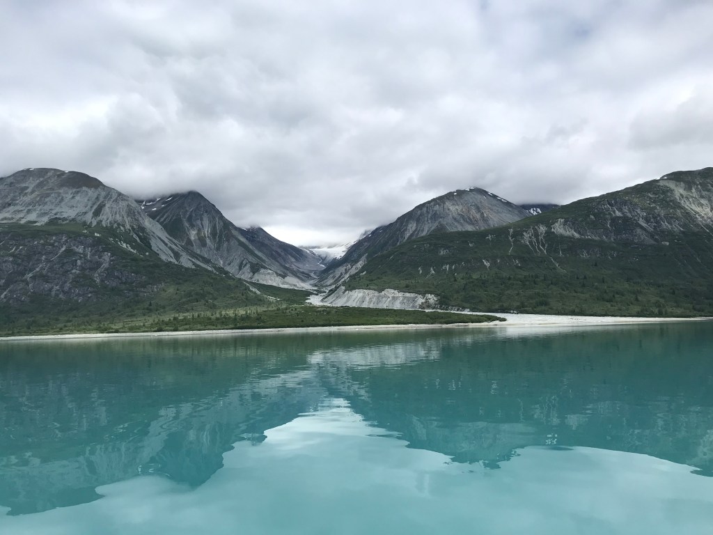
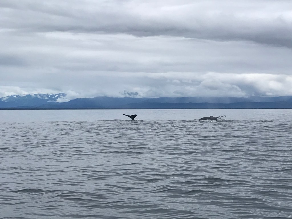
Glacier Bay National Park is one of the most beautiful places we have ever been. Just 250 years ago, Glacier Bay was all glacier and no bay. The result of a little Ice Age, the area began warming up in the late 18th century and the bay formed. Today there are over 1,000 glaciers in Glacier Bay, most are in the surrounding mountains and the sources for all the beautiful waterfalls. There are also about a dozen tidewater glaciers which extend all the way to the sea. Cruising Glacier Bay alone, in our own boat, allowed us to experience this incredible wilderness and see several glaciers at our own pace. This experience was incredible and we enjoyed the unique scenery with some sunshine, blue sky and fresh cold air. The views of the glaciers, mountains and waterfalls were stunning. The idea that we were among prehistoric ever-changing structures was a grounding thought and made us so grateful that we could experience this in our lifetime.
Navigating toward Glacier Bay
At this time of the year only 27 cruising boats are permitted at any time inside Glacier Bay, so we waited in Sitka until our application was approved. Once we had the permit, we motored out of Sitka Harbor and headed north through Olga and Neva Straits and took the outside passage along Chicagof Island to Lisianski Strait and on up to Glacier Bay. The first night was a memorable anchorage: we navigated through a narrow passage and anchored in a beautiful place called Klag Cove.

Johns Hopkins Glacier


Reids Glacier

Margerie Glacier


Muir Glacier

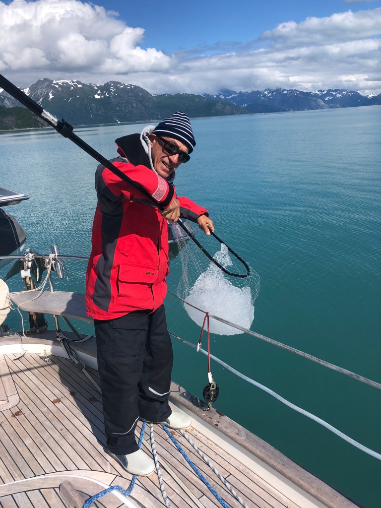
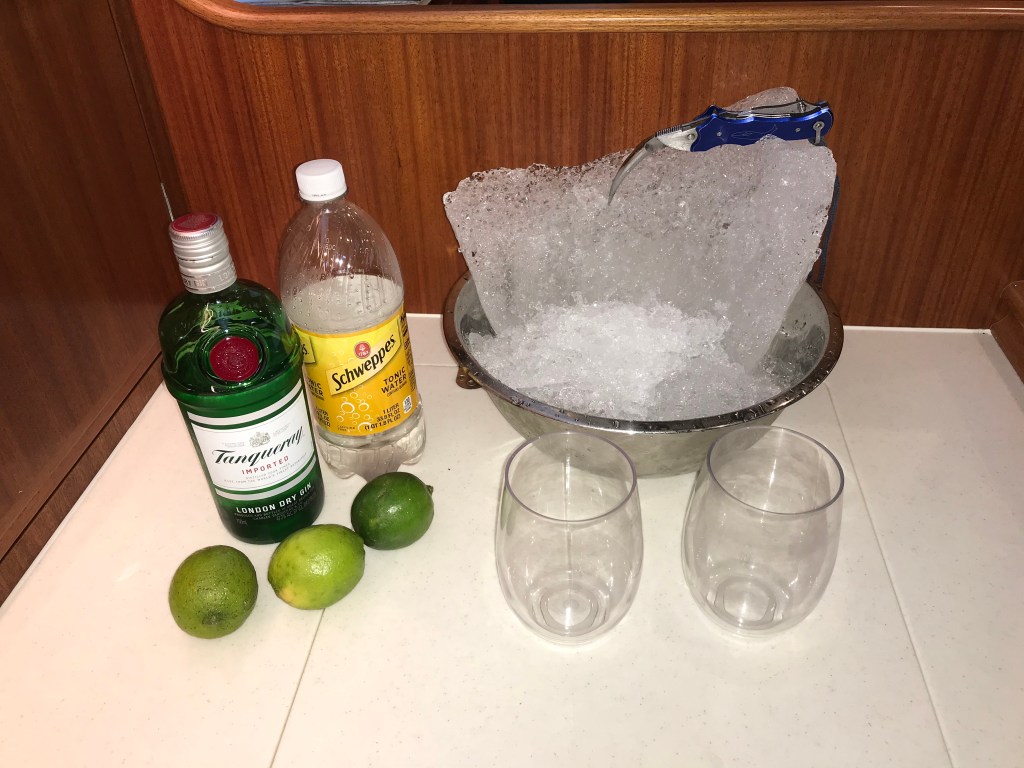
Cocktail Ice
Receding glaciers
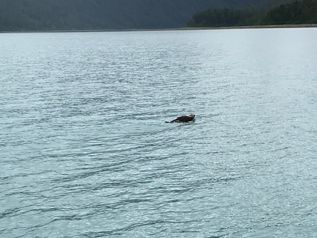
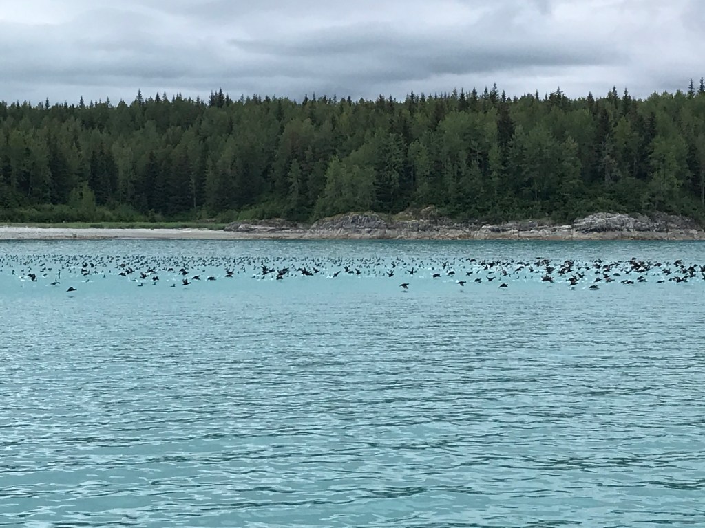
Local creatures


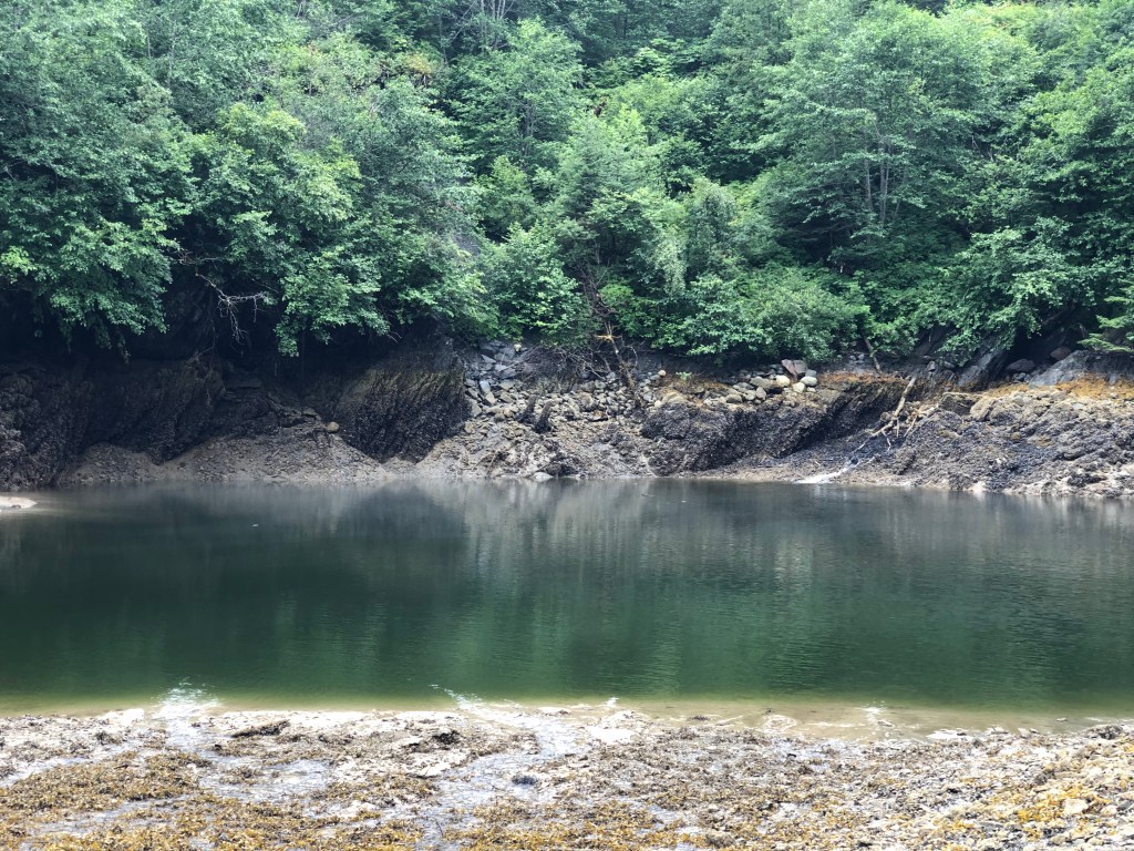
Anchorages
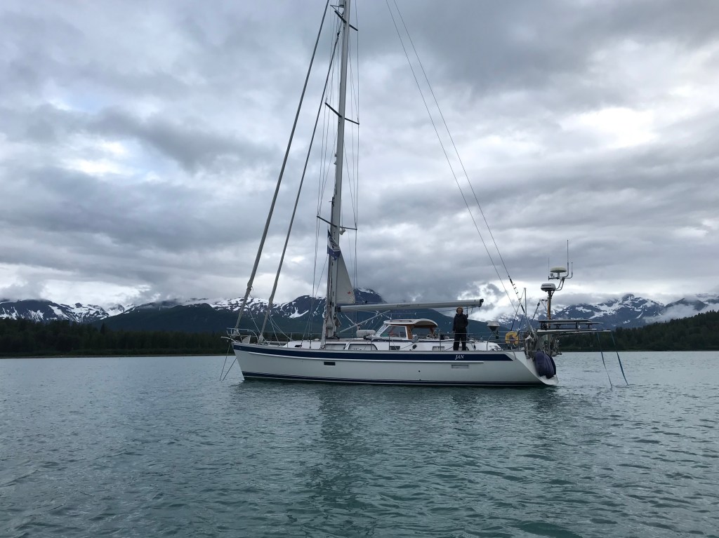
We anchored every night in beautiful and solitary coves, tucked in between tall mountains, and surrounded by green woods, waterfalls and many marine birds, eagles and otters. Most of the times we were the only boat in the anchorage!
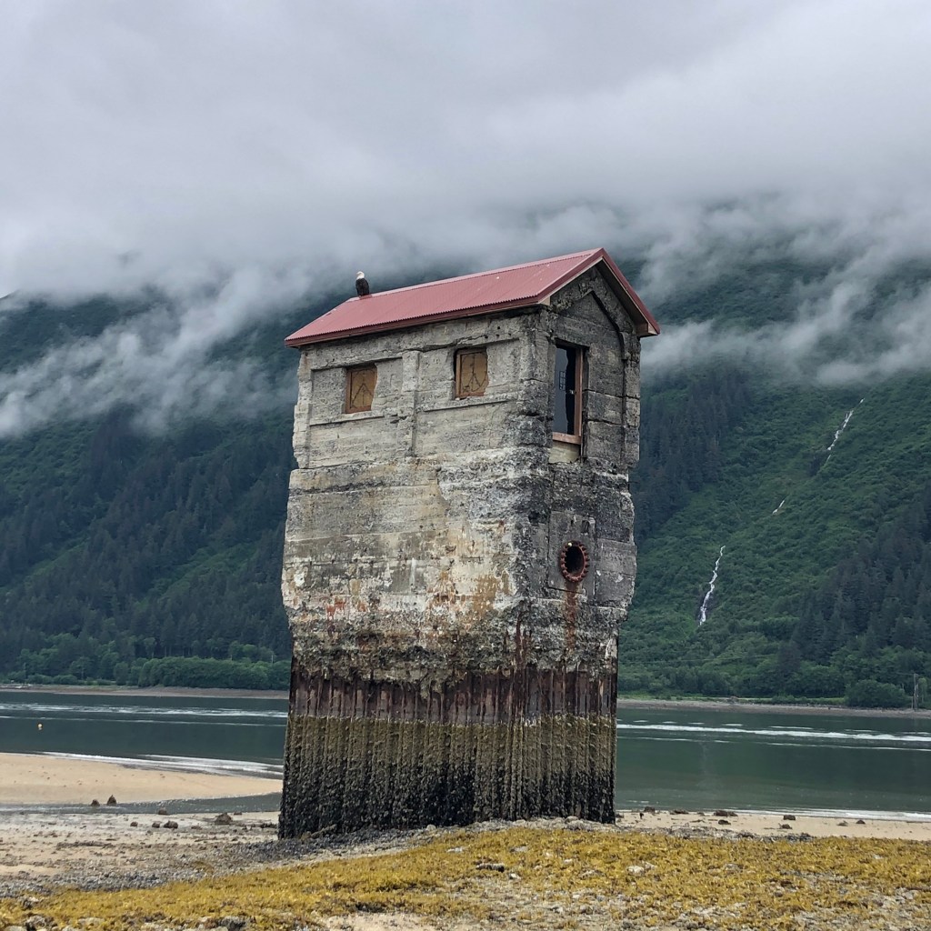
JUNEAU, Alaska’s Capital City


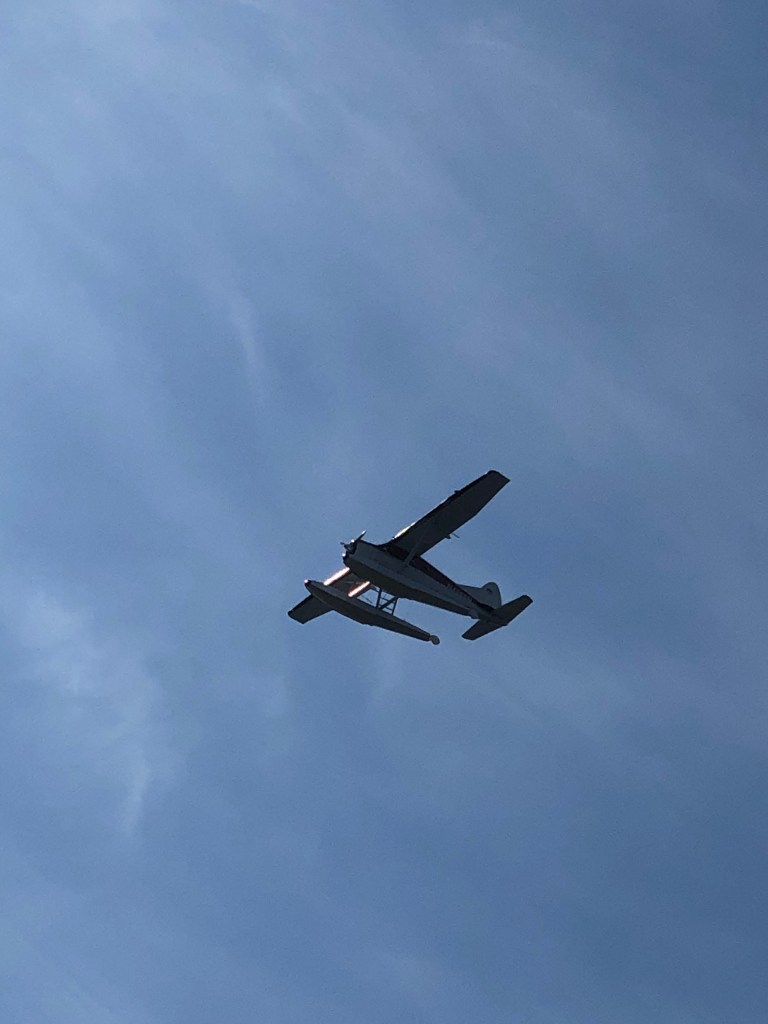
Juneau has been the capital city of Alaska since it was moved from Sitka in 1906. Alaska became the 49th state of the United States of America in 1959 and is the largest state in terms of territory. It is unique as a US capital as there are no highways or other roads connecting the city to the rest of the state! People move by boat or by plane, often small planes on floats.


Douglas Island
Since we were not able to enter into the marinas near downtown Juneau due to the height of our mast not clearing under the main bridge into town, we were constrained to go to Douglas Island Marina located across the Gastineau Channel on Douglas Island.
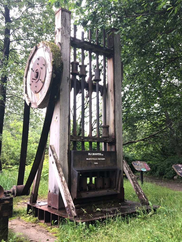
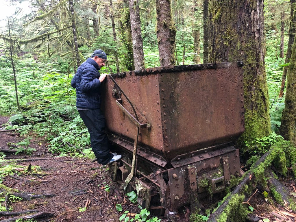
Douglas Island holds a special place in history as the site of the Treadwell Mines which were active in the late 1800s until 1917 when three of the mines flooded with seawater, due to an abnormally high tide. Fortunately no one was lost or killed.
Treadwell Mines
The Treadwell complex held the most advanced ore processing system used by the American mining industry at the time. This type of gold mining was known as hard rock mining and included the recovery of ore bearing rocks, the pulverization of the rocks by the stamps in the mills, and collecting the gold. Treadwell at its peak was a bustling complex and community. It had 960 stamps and crushed 5,000 tons of rock daily. By 1917, nearly $70 million dollars in gold had been mined and processed.
Historically, gold mines have been more often places of human exploitation but not Treadwell Mines. According to miners interviewed during the park restoration, this was a well-organized, livable and modern place to work! The community had nearly 2,000 miners who had access to housing, stores, medical services, and activities including an indoor swimming pool, library, bowling alley, ice skating rink and a tennis court. There was even a marching band. These miners were also among the best paid miners in the world!


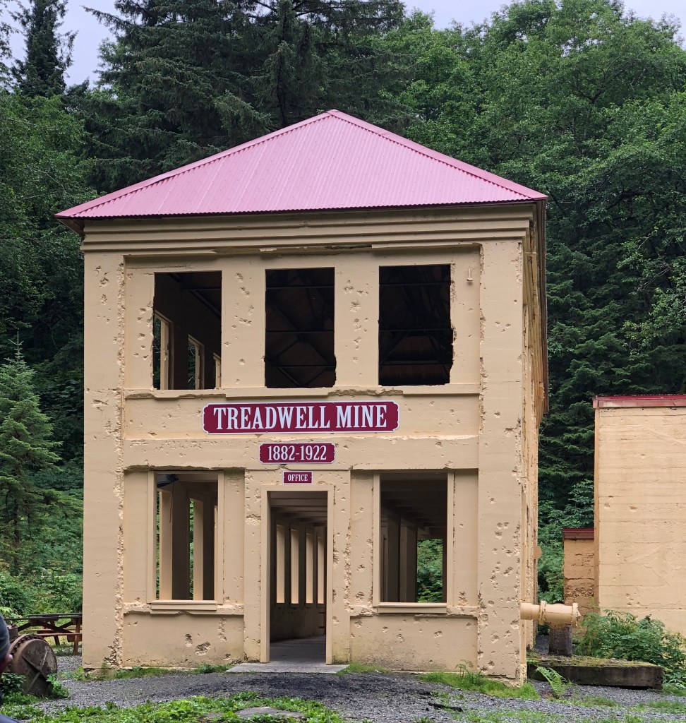
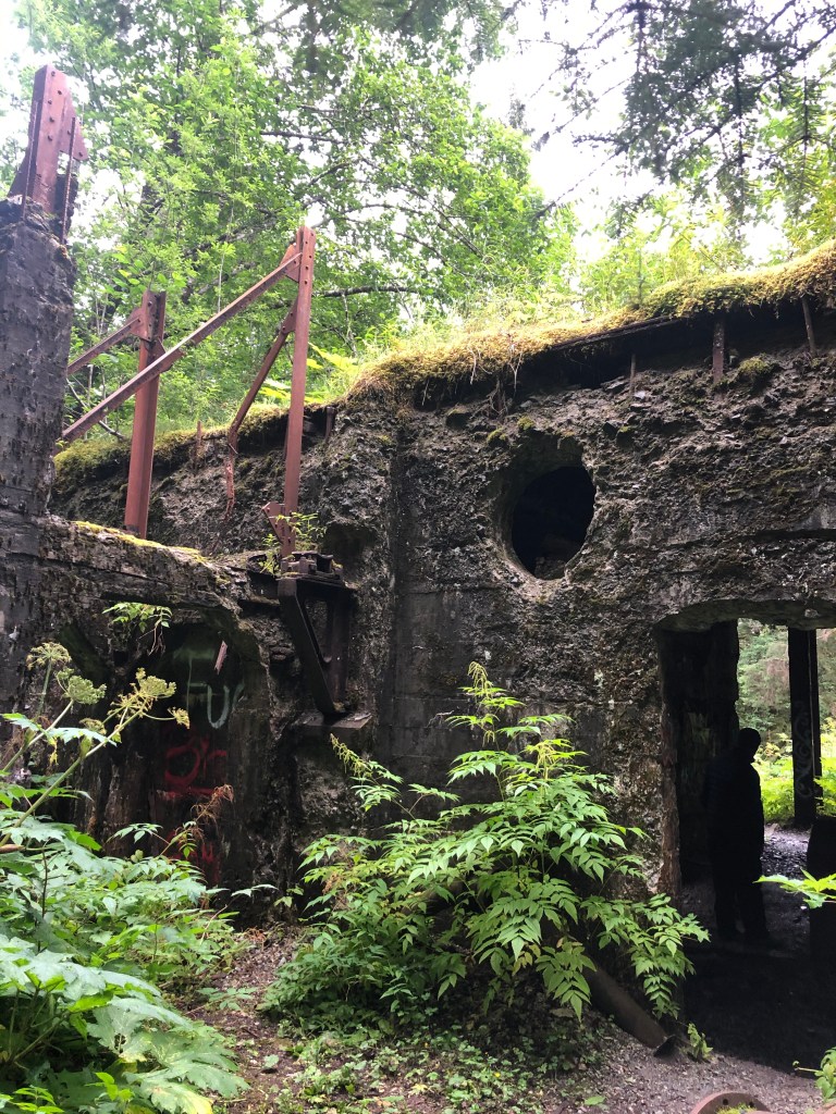
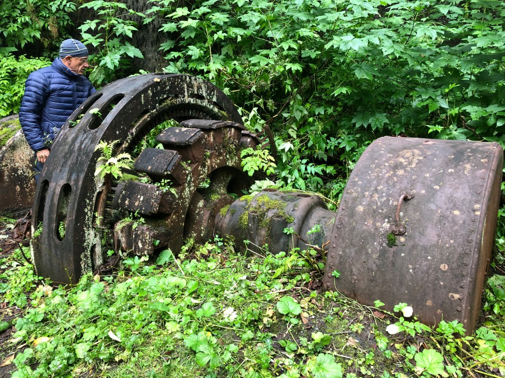
Unfortunately, on April 21, 1917, all the mines except one flooded with seawater. An extremely high tide, combined with unstable mining practices due to lack of experience in mining below sea level, caused the ground to subside and mines to flood. All the miners were saved but all the horses lost. The complex was closed for good in 1922.
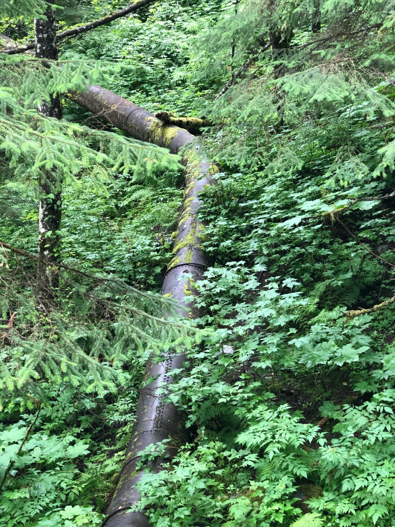
Today the remains of these mines are getting reclaimed by trees and vegetation. We spent a morning walking through the woods imagining what this place once looked like.

Eagles, Eagles EVERYWHERE!


What an amazing adventure! Thank you for sharing. Xoxo Rose
Sent from my iPad
>
LikeLike
Lots of oohing and ahhing here today as I sailed with you virtually through Alaska. Your pictures are stunning. Alaska is totally on my bucket list, but it is challenging to get Fabio to anywhere south of 70 degrees (Fahrenheit :-). Still, I can hope. We are closing down the boat for a time to replenish the cruising kitty, but I hope we find our way to Alaska when we are back on board.
LikeLike
Thank you Lisa!
LikeLike
Yes tell Fabio it WAS really cold at times but well worth it. Hope to hear you are back on the water soon.
LikeLike